622 W River Dr New London, MN 56273
Estimated Value: $423,000 - $612,000
--
Bed
--
Bath
1,796
Sq Ft
$284/Sq Ft
Est. Value
About This Home
This home is located at 622 W River Dr, New London, MN 56273 and is currently estimated at $510,931, approximately $284 per square foot. 622 W River Dr is a home with nearby schools including Prairie Woods Elementary School, New London-Spicer Middle School, and New London-Spicer Senior High School.
Ownership History
Date
Name
Owned For
Owner Type
Purchase Details
Closed on
Nov 13, 2023
Sold by
Driggs Arthur and Driggs Jodell
Bought by
Kolstad Kris and Kolstad Joann
Current Estimated Value
Purchase Details
Closed on
Jul 9, 2021
Sold by
Driggs Arthur Jerome and Driggs Jodell Lin
Bought by
Driggs Trust
Purchase Details
Closed on
Oct 26, 2020
Sold by
Kdr Homes Llc
Bought by
Driggs Arthur Jerome and Driggs Jodell Lin
Home Financials for this Owner
Home Financials are based on the most recent Mortgage that was taken out on this home.
Interest Rate
2.91%
Purchase Details
Closed on
Aug 28, 2020
Home Financials for this Owner
Home Financials are based on the most recent Mortgage that was taken out on this home.
Interest Rate
2.91%
Purchase Details
Closed on
Oct 27, 2009
Sold by
Vegdahl Kent D
Bought by
United Minnesota Bank
Create a Home Valuation Report for This Property
The Home Valuation Report is an in-depth analysis detailing your home's value as well as a comparison with similar homes in the area
Home Values in the Area
Average Home Value in this Area
Purchase History
| Date | Buyer | Sale Price | Title Company |
|---|---|---|---|
| Kolstad Kris | $498,000 | -- | |
| Driggs Trust | -- | None Available | |
| Driggs Arthur Jerome | $25,000 | None Available | |
| -- | $15,500 | -- | |
| United Minnesota Bank | $572,000 | None Available |
Source: Public Records
Mortgage History
| Date | Status | Borrower | Loan Amount |
|---|---|---|---|
| Previous Owner | -- | -- |
Source: Public Records
Tax History Compared to Growth
Tax History
| Year | Tax Paid | Tax Assessment Tax Assessment Total Assessment is a certain percentage of the fair market value that is determined by local assessors to be the total taxable value of land and additions on the property. | Land | Improvement |
|---|---|---|---|---|
| 2025 | $7,216 | $429,800 | $35,000 | $394,800 |
| 2024 | $6,280 | $453,800 | $35,000 | $418,800 |
| 2023 | $5,660 | $392,400 | $35,000 | $357,400 |
| 2022 | $2,298 | $352,100 | $26,000 | $326,100 |
| 2021 | $536 | $130,800 | $26,000 | $104,800 |
| 2020 | $0 | $26,000 | $26,000 | $0 |
| 2019 | $15,470 | $26,000 | $26,000 | $0 |
| 2018 | $15,470 | $26,000 | $26,000 | $0 |
| 2017 | $15,470 | $26,000 | $26,000 | $0 |
| 2016 | $15,470 | $0 | $0 | $0 |
| 2015 | -- | $0 | $0 | $0 |
| 2014 | -- | $0 | $0 | $0 |
Source: Public Records
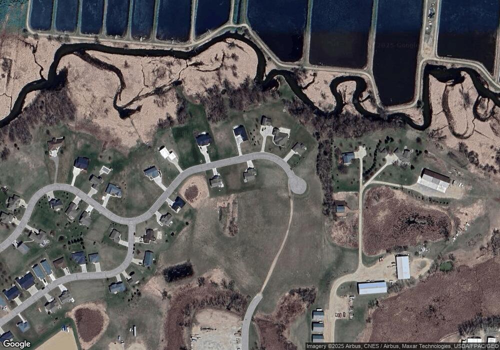
Map
Nearby Homes
- 206 Pine St SW
- 232 1st Ave NW
- 311 Pine St SW
- TBD Pine St NW
- 109 1st Ave NW
- 108 Meadow Ln
- 104 Meadow Ln
- 6 Fourth Avenue Lot 9 Ave
- 122 Ridge Rd
- TBD Lot H Co Rd 40
- 305 1st Ave SE
- 313 2nd Ave NE
- 196633 County Road 9 NE
- 19663 County Road 9 NE
- TBD 161st Ave NE
- TBD Lot E Co Rd 40
- TBD 198th Ave NE
- TBD` 198th Ave NE
- 8303 198th Ave NE
- 18254 Norway Woods Cir
- 620 W River Dr
- 626 W River Dr
- 627 W River Dr
- 625 W River Dr
- 628 W River Dr
- 631 W River Dr
- 635 W River Dr
- 629 W River Dr
- 630 W River Dr
- 639 W River Dr
- 588 4th Ave SW
- 641 W River Dr
- 701 Westland Ln
- 645 W River Dr
- 703 Westland Ln
- 645 & 647 W River Dr
- 647 W River Dr
- 645/647 W River Dr
- 647 W River Dr
- 698 Westland Ln