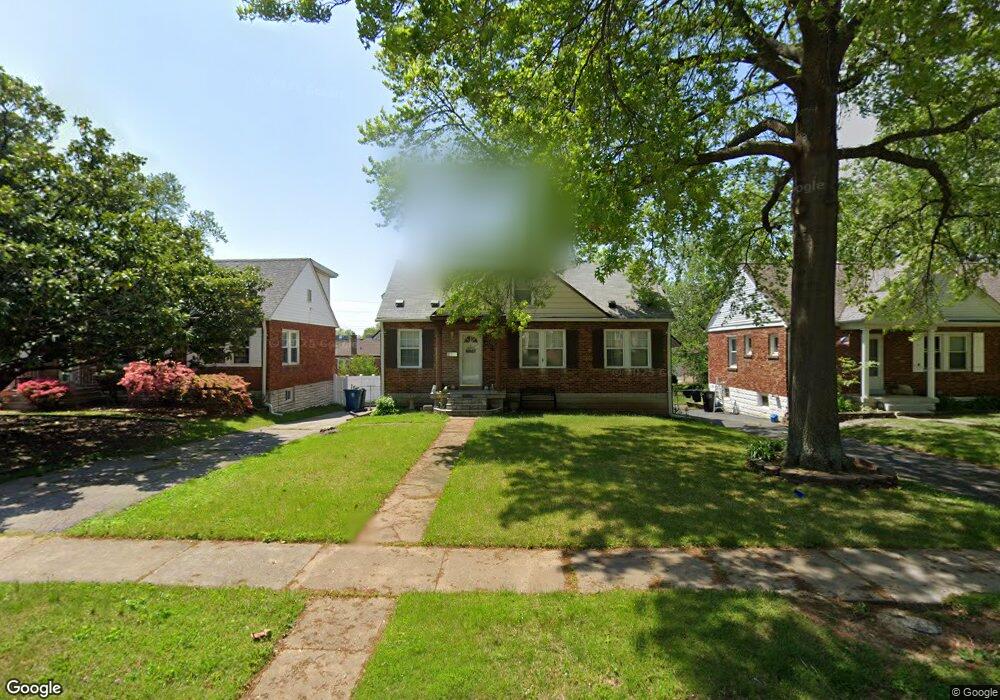
6220 Dexter Dr Saint Louis, MO 63123
Estimated Value: $211,560 - $233,000
3
Beds
2
Baths
1,210
Sq Ft
$183/Sq Ft
Est. Value
About This Home
This home is located at 6220 Dexter Dr, Saint Louis, MO 63123 and is currently estimated at $221,390, approximately $182 per square foot. 6220 Dexter Dr is a home located in St. Louis County with nearby schools including Mesnier Primary School, Gotsch Intermediate School, and Rogers Middle School.
Ownership History
Date
Name
Owned For
Owner Type
Purchase Details
Closed on
Sep 26, 2008
Sold by
Baum Don M and Baum Colleen
Bought by
Chapman Darlene A
Current Estimated Value
Home Financials for this Owner
Home Financials are based on the most recent Mortgage that was taken out on this home.
Original Mortgage
$119,819
Outstanding Balance
$79,370
Interest Rate
6.52%
Mortgage Type
FHA
Estimated Equity
$142,020
Purchase Details
Closed on
May 21, 1999
Sold by
Mary Brodz Margaret
Bought by
Baum Don M and Baum Colleen
Home Financials for this Owner
Home Financials are based on the most recent Mortgage that was taken out on this home.
Original Mortgage
$95,910
Interest Rate
6.94%
Mortgage Type
FHA
Create a Home Valuation Report for This Property
The Home Valuation Report is an in-depth analysis detailing your home's value as well as a comparison with similar homes in the area
Home Values in the Area
Average Home Value in this Area
Purchase History
| Date | Buyer | Sale Price | Title Company |
|---|---|---|---|
| Chapman Darlene A | $122,000 | Lenders Title & Escrow Llc | |
| Baum Don M | $96,000 | -- |
Source: Public Records
Mortgage History
| Date | Status | Borrower | Loan Amount |
|---|---|---|---|
| Open | Chapman Darlene A | $119,819 | |
| Previous Owner | Baum Don M | $95,910 |
Source: Public Records
Tax History
| Year | Tax Paid | Tax Assessment Tax Assessment Total Assessment is a certain percentage of the fair market value that is determined by local assessors to be the total taxable value of land and additions on the property. | Land | Improvement |
|---|---|---|---|---|
| 2025 | $2,916 | $39,240 | $14,540 | $24,700 |
| 2024 | $2,916 | $35,890 | $9,690 | $26,200 |
| 2023 | $2,916 | $35,890 | $9,690 | $26,200 |
| 2022 | $2,732 | $29,790 | $9,690 | $20,100 |
| 2021 | $2,494 | $29,790 | $9,690 | $20,100 |
| 2020 | $2,357 | $26,260 | $9,600 | $16,660 |
| 2019 | $2,353 | $26,260 | $9,600 | $16,660 |
| 2018 | $2,180 | $21,490 | $6,710 | $14,780 |
| 2017 | $2,166 | $21,490 | $6,710 | $14,780 |
| 2016 | $2,024 | $21,340 | $3,860 | $17,480 |
| 2015 | $2,033 | $21,340 | $3,860 | $17,480 |
| 2014 | $2,002 | $20,920 | $4,310 | $16,610 |
Source: Public Records
Map
Nearby Homes
- 6209 Bixby Ave
- 8520 Ava Dr
- 8605 Neier Ln
- 9225 Pavia Ave
- 9320 Sterling Place
- 6421 Judson Ave
- 6321 Sheppard Dr
- 8501 Palmetto Dr
- 9018 Vasel Dr
- 6714 Colony Acres Dr
- 6722 Colony Acres Dr
- 9406 Mackenzie Rd
- 6723 Colony Acres Dr
- 8506 Mathilda Ave
- 8942 Eden Ave
- 8200 New Hampshire Ave
- 9117 Tiber Ct
- 5315 Vine Ave
- 9607 Reavis Rd
- 5138 Lode Ave
Your Personal Tour Guide
Ask me questions while you tour the home.