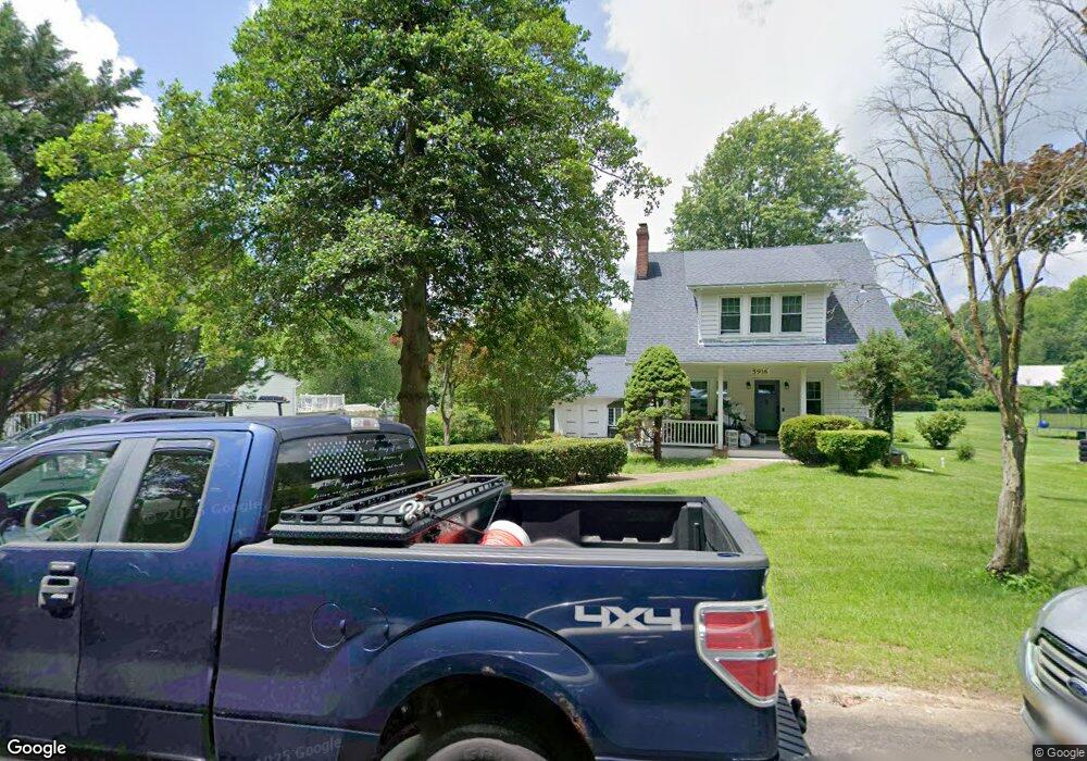
6220 Shore Ln Tracys Landing, MD 20779
Estimated Value: $701,000 - $894,844
--
Bed
2
Baths
2,046
Sq Ft
$385/Sq Ft
Est. Value
About This Home
This home is located at 6220 Shore Ln, Tracys Landing, MD 20779 and is currently estimated at $787,711, approximately $385 per square foot. 6220 Shore Ln is a home located in Anne Arundel County with nearby schools including Deale Elementary School, Southern Middle School, and Southern High School.
Ownership History
Date
Name
Owned For
Owner Type
Purchase Details
Closed on
Aug 6, 2025
Sold by
Denekas David Edward and Sansing William Michael
Bought by
Denekas Sansing Joint Living Trust and Denekas
Current Estimated Value
Purchase Details
Closed on
Aug 13, 2013
Sold by
Sansing William Michael
Bought by
Denekas David Edward and Sansing William Michael
Purchase Details
Closed on
Apr 20, 2004
Sold by
Denekas David E
Bought by
Sansing William M
Create a Home Valuation Report for This Property
The Home Valuation Report is an in-depth analysis detailing your home's value as well as a comparison with similar homes in the area
Home Values in the Area
Average Home Value in this Area
Purchase History
| Date | Buyer | Sale Price | Title Company |
|---|---|---|---|
| Denekas Sansing Joint Living Trust | -- | None Listed On Document | |
| Denekas David Edward | -- | None Available | |
| Sansing William M | -- | -- |
Source: Public Records
Tax History Compared to Growth
Tax History
| Year | Tax Paid | Tax Assessment Tax Assessment Total Assessment is a certain percentage of the fair market value that is determined by local assessors to be the total taxable value of land and additions on the property. | Land | Improvement |
|---|---|---|---|---|
| 2025 | $6,076 | $813,267 | -- | -- |
| 2024 | $6,076 | $749,433 | $0 | $0 |
| 2023 | $5,871 | $685,600 | $461,200 | $224,400 |
| 2022 | $5,508 | $672,667 | $0 | $0 |
| 2021 | $10,820 | $659,733 | $0 | $0 |
| 2020 | $5,275 | $646,800 | $461,200 | $185,600 |
| 2019 | $5,175 | $625,800 | $0 | $0 |
| 2018 | $6,133 | $604,800 | $0 | $0 |
| 2017 | $4,852 | $583,800 | $0 | $0 |
| 2016 | -- | $572,767 | $0 | $0 |
| 2015 | -- | $561,733 | $0 | $0 |
| 2014 | -- | $550,700 | $0 | $0 |
Source: Public Records
Map
Nearby Homes
- 520 Ark Haven Rd
- 617 Ford Rd
- 610 E Marshall Ave
- 6061 Drum Point Rd
- 703 Trapper Way
- 6047 Melbourne Ave
- 6037 Drum Point Rd
- 6281 Franklin Gibson Rd
- 619 Park Place
- 525 James Ave
- 645 Gull Dr
- 5918 Sneed Dr
- 5930 Sneed Dr
- 350 E Bay Front Rd
- 6095 Solomons Island Rd
- 6007 Solomons Island Rd
- 5741 Deale Churchton Rd
- 0 Fairhaven Rd
- 962 Main St
- 964 Main St
- 6208 W Shore Dr
- 6208 W Shore Dr
- 6222 Shore Ln
- 6224 W Shore Dr
- 6224 W Shore Dr
- 6214 Nutwell Dr
- 6208 Shore Ln
- 6208 Shore Ln
- 421 Highview Rd
- 6214 W Shore Dr
- 6214 W Shore Dr
- 6230 Shore Ln
- 6206 Nutwell Dr
- 6205 Nutwell Dr
- 6216 Sewell Dr
- 411 Highview Rd
- 6225 Sewell Dr
- 0 Earle Dr Unit AA8163597
- 0 Earle Dr Unit 1009864536
- 6210 Earle Dr