6220 Signal Point Dr Shepherd, MT 59079
Estimated Value: $343,000 - $449,000
3
Beds
3
Baths
1,598
Sq Ft
$246/Sq Ft
Est. Value
About This Home
This home is located at 6220 Signal Point Dr, Shepherd, MT 59079 and is currently estimated at $392,552, approximately $245 per square foot. 6220 Signal Point Dr is a home located in Yellowstone County with nearby schools including Shepherd Elementary School, Shepherd Middle School, and Shepherd High School.
Ownership History
Date
Name
Owned For
Owner Type
Purchase Details
Closed on
Jul 28, 2020
Sold by
Living Color Llc
Bought by
Anderson Dale A and Anderson Frances
Current Estimated Value
Purchase Details
Closed on
Dec 26, 2019
Sold by
Wells Fargo Bank Na
Bought by
Living Color Llc
Purchase Details
Closed on
Jun 9, 2010
Sold by
Powell David Brian
Bought by
Powell Damon R
Create a Home Valuation Report for This Property
The Home Valuation Report is an in-depth analysis detailing your home's value as well as a comparison with similar homes in the area
Purchase History
| Date | Buyer | Sale Price | Title Company |
|---|---|---|---|
| Anderson Dale A | -- | First Montana Title Co | |
| Living Color Llc | $115,150 | Misc Company | |
| Powell Damon R | -- | None Available |
Source: Public Records
Tax History
| Year | Tax Paid | Tax Assessment Tax Assessment Total Assessment is a certain percentage of the fair market value that is determined by local assessors to be the total taxable value of land and additions on the property. | Land | Improvement |
|---|---|---|---|---|
| 2025 | $2,526 | $347,500 | $64,952 | $282,548 |
| 2024 | $2,526 | $288,900 | $53,002 | $235,898 |
| 2023 | $2,569 | $288,900 | $53,002 | $235,898 |
| 2022 | $2,397 | $241,400 | $0 | $0 |
| 2021 | $2,392 | $241,400 | $0 | $0 |
| 2020 | $1,913 | $184,500 | $0 | $0 |
| 2019 | $1,593 | $184,500 | $0 | $0 |
| 2018 | $1,581 | $172,200 | $0 | $0 |
| 2017 | $1,553 | $172,200 | $0 | $0 |
| 2016 | $1,498 | $173,600 | $0 | $0 |
| 2015 | $1,492 | $173,600 | $0 | $0 |
| 2014 | $1,271 | $79,235 | $0 | $0 |
Source: Public Records
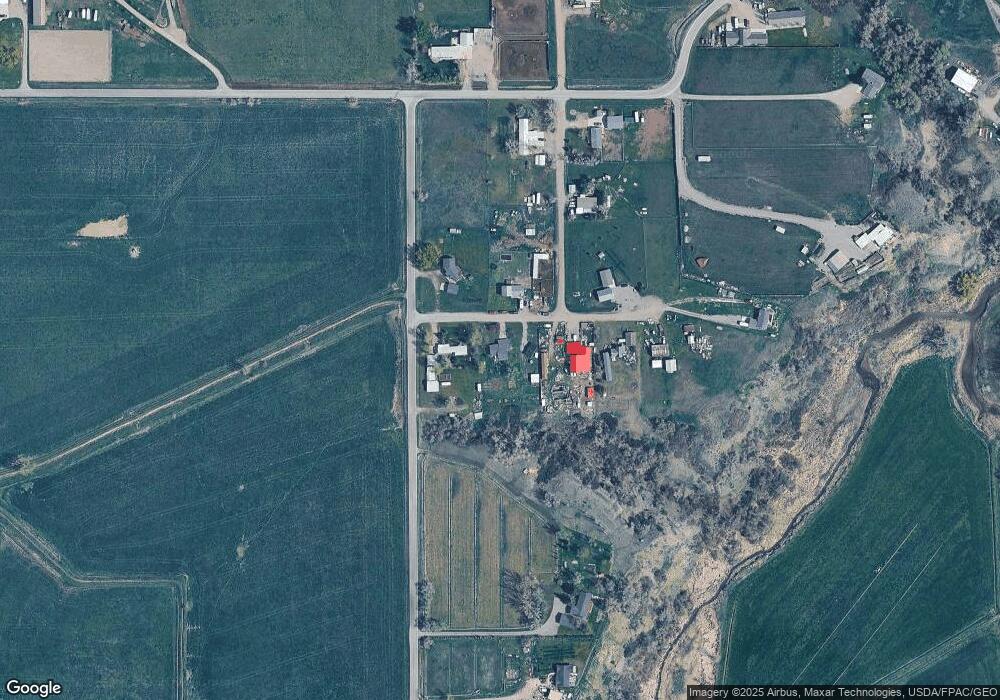
Map
Nearby Homes
- 0 SHepherd Road lot Shepherd Rd
- 0 Shepherd Road Lot Shepherd Rd
- 5430 Cerkoney Ln
- 7133 Mustang Rd
- 6732 Pinto Dr
- 8020 Wade St
- 5652 Bengston Rd
- 6447 US Highway 312
- 5718 Creekview Dr
- 6835 Eagle Bend Blvd
- 7340 Wild Game Trail
- 0000 Florian Ave
- 7290 Whitetail Run
- 7420 Whitetail Run
- 7106 Lance St
- 7306 Kendra Lynn Dr
- 8700 Fox Run
- L5B4 Trumbo Cir
- L3B4 Trumbo Cir
- L4B4 Trumbo Cir
- 6227 Signal Point Dr
- 6210 Signal Point Dr
- 6230 Signal Point Dr
- 6707 Frey Rd
- 6248 Signal Point Dr
- 6250 Signal Point Dr
- 6744 Joshua Tree Ln
- 6745 Joshua Tree Ln
- 6253 Signal Point Dr
- 6543 Frey Rd
- 6207 Osness Rd
- 6531 Frey Rd
- 6531 Frey Rd
- 6815 Joshua Tree Ln
- 6353 Osness Rd
- 6513 Frey Rd
- 0 Frey Rd
- 6817 Frey Rd
- 6845 Joshua Tree Ln
- 6336 Osness Rd