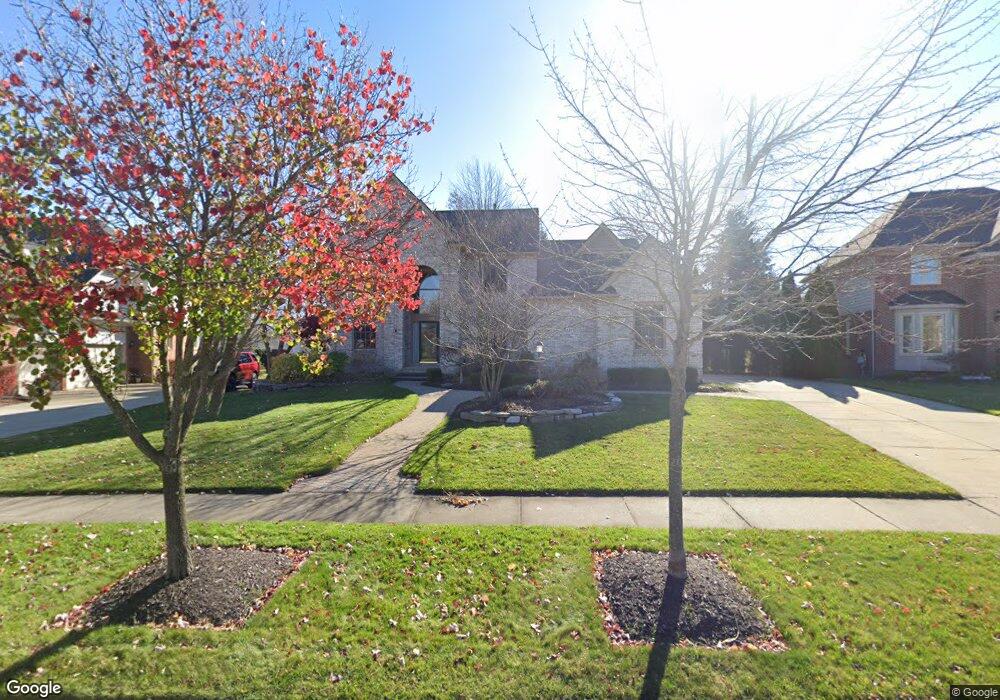
6221 Branford Dr West Bloomfield, MI 48322
Estimated Value: $599,020 - $988,000
4
Beds
4
Baths
3,436
Sq Ft
$230/Sq Ft
Est. Value
About This Home
This home is located at 6221 Branford Dr, West Bloomfield, MI 48322 and is currently estimated at $790,005, approximately $229 per square foot. 6221 Branford Dr is a home located in Oakland County with nearby schools including Walled Lake Central High School, Novi Christian Academy, and St. William School.
Ownership History
Date
Name
Owned For
Owner Type
Purchase Details
Closed on
Nov 30, 2001
Sold by
Biltmore Building Co Ltd
Bought by
Whalen Daniel D
Current Estimated Value
Home Financials for this Owner
Home Financials are based on the most recent Mortgage that was taken out on this home.
Original Mortgage
$260,000
Interest Rate
7.24%
Purchase Details
Closed on
Jul 23, 1999
Sold by
Wyndham Development
Bought by
Biltmore Building Co Ltd Ptr
Create a Home Valuation Report for This Property
The Home Valuation Report is an in-depth analysis detailing your home's value as well as a comparison with similar homes in the area
Home Values in the Area
Average Home Value in this Area
Purchase History
| Date | Buyer | Sale Price | Title Company |
|---|---|---|---|
| Whalen Daniel D | $435,000 | -- | |
| Biltmore Building Co Ltd Ptr | $105,000 | -- |
Source: Public Records
Mortgage History
| Date | Status | Borrower | Loan Amount |
|---|---|---|---|
| Previous Owner | Whalen Daniel D | $260,000 |
Source: Public Records
Tax History Compared to Growth
Tax History
| Year | Tax Paid | Tax Assessment Tax Assessment Total Assessment is a certain percentage of the fair market value that is determined by local assessors to be the total taxable value of land and additions on the property. | Land | Improvement |
|---|---|---|---|---|
| 2024 | $4,170 | $262,020 | $0 | $0 |
| 2022 | $3,932 | $241,090 | $33,300 | $207,790 |
| 2021 | $6,549 | $243,780 | $0 | $0 |
| 2020 | $3,885 | $246,680 | $33,300 | $213,380 |
| 2018 | $5,907 | $218,710 | $33,300 | $185,410 |
| 2015 | -- | $185,460 | $0 | $0 |
| 2014 | -- | $166,530 | $0 | $0 |
| 2011 | -- | $152,410 | $0 | $0 |
Source: Public Records
Map
Nearby Homes
- 6291 Pheasant Run
- 7453 Pepper Creek
- 6986 Crosswell Dr
- 6960 Long Ave
- 7659 Larchwood Dr
- 7647 Larchwood Dr
- 6517 Chelsea Bridge
- Whittaker Plan at Reserve at West Bloomfield
- Drummond Plan at Reserve at West Bloomfield
- Brantwood Plan at Reserve at West Bloomfield
- Wellston Plan at Reserve at West Bloomfield
- Brantwood with Loft Plan at Reserve at West Bloomfield
- Frankfort Plan at Reserve at West Bloomfield
- 7893 Arimoore Dr
- 7640 Larchwood Dr
- 6642 Carlyle Ct
- 0000 Blue Jay Way
- 5570 Wildrose Ave
- 7230 Walnut Lake Rd
- 6775 Carlyle Crossing
- 6217 Branford Dr
- 6225 Branford Dr
- 6361 Branford Dr
- 6229 Branford Dr
- 6357 Branford Dr
- 6365 Branford Dr
- 6234 Berwick Dr
- 6220 Branford Dr
- 6242 Berwick Dr
- 6228 Branford Dr
- 6353 Branford Dr
- 6216 Branford Dr
- 6234 Branford Dr
- 6233 Branford Dr
- 6248 Berwick Dr
- 7108 Branford Ct
- 6349 Branford Dr
- 7112 Branford Ct
- 6212 Branford Dr
- 6360 Branford Dr