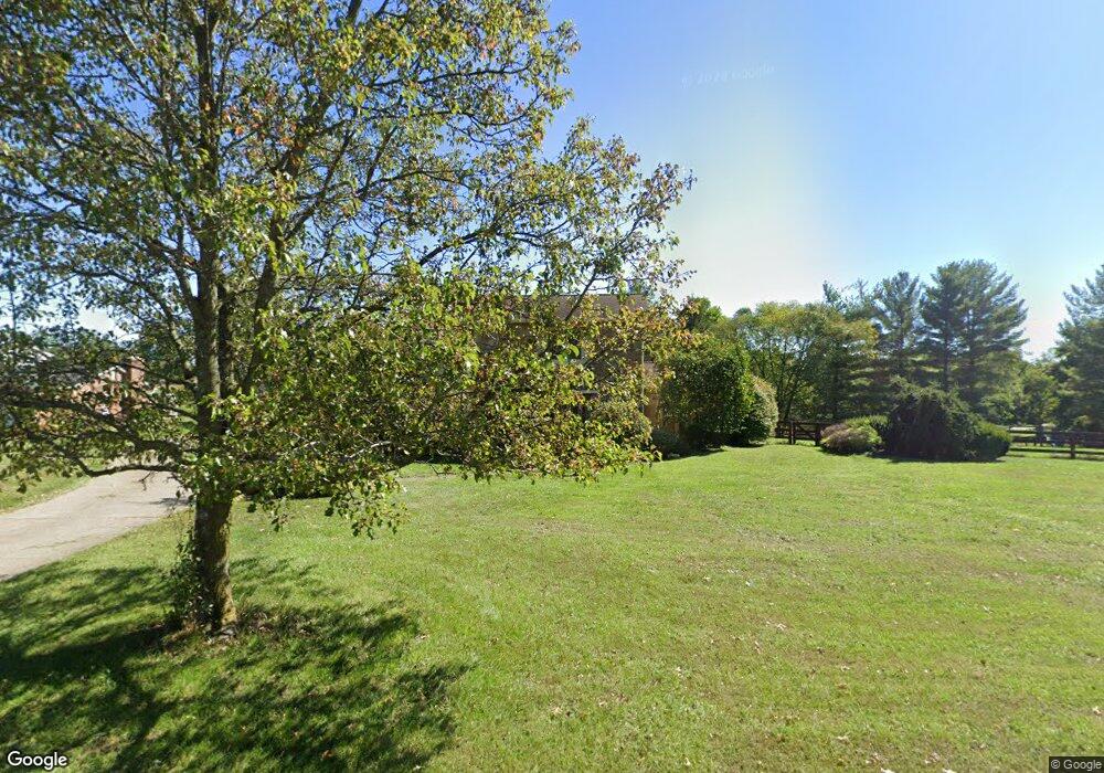
6227 Murnan Rd Cold Spring, KY 41076
Estimated Value: $469,842 - $546,000
2
Beds
4
Baths
2,586
Sq Ft
$197/Sq Ft
Est. Value
About This Home
This home is located at 6227 Murnan Rd, Cold Spring, KY 41076 and is currently estimated at $509,711, approximately $197 per square foot. 6227 Murnan Rd is a home located in Campbell County with nearby schools including Donald E. Cline Elementary School, Campbell County Middle School, and Campbell County High School.
Ownership History
Date
Name
Owned For
Owner Type
Purchase Details
Closed on
Mar 13, 2009
Sold by
Kuhn John W and Kuan Colleen D
Bought by
Kuhn John W and Kuhn Colleen D
Current Estimated Value
Home Financials for this Owner
Home Financials are based on the most recent Mortgage that was taken out on this home.
Original Mortgage
$217,000
Interest Rate
4.97%
Mortgage Type
Future Advance Clause Open End Mortgage
Purchase Details
Closed on
May 26, 2005
Sold by
Schmidt Donald H and Schmidt Cortlyn J
Bought by
Kuhn John W
Home Financials for this Owner
Home Financials are based on the most recent Mortgage that was taken out on this home.
Original Mortgage
$225,000
Interest Rate
5.8%
Mortgage Type
New Conventional
Create a Home Valuation Report for This Property
The Home Valuation Report is an in-depth analysis detailing your home's value as well as a comparison with similar homes in the area
Home Values in the Area
Average Home Value in this Area
Purchase History
| Date | Buyer | Sale Price | Title Company |
|---|---|---|---|
| Kuhn John W | -- | Community Title Inc | |
| Kuhn John W | $287,500 | None Available |
Source: Public Records
Mortgage History
| Date | Status | Borrower | Loan Amount |
|---|---|---|---|
| Closed | Kuhn John W | $217,000 | |
| Closed | Kuhn John W | $225,000 |
Source: Public Records
Tax History
| Year | Tax Paid | Tax Assessment Tax Assessment Total Assessment is a certain percentage of the fair market value that is determined by local assessors to be the total taxable value of land and additions on the property. | Land | Improvement |
|---|---|---|---|---|
| 2025 | $5,515 | $455,000 | $50,000 | $405,000 |
| 2024 | $4,353 | $354,500 | $30,000 | $324,500 |
| 2023 | $4,254 | $354,500 | $30,000 | $324,500 |
| 2022 | $4,413 | $354,500 | $30,000 | $324,500 |
| 2021 | $4,413 | $354,500 | $30,000 | $324,500 |
| 2020 | $3,630 | $287,500 | $27,000 | $260,500 |
| 2019 | $3,567 | $287,500 | $27,000 | $260,500 |
| 2018 | $3,591 | $287,500 | $27,000 | $260,500 |
| 2017 | $3,543 | $287,500 | $27,000 | $260,500 |
| 2016 | $3,473 | $287,500 | $0 | $0 |
| 2015 | $3,529 | $287,500 | $0 | $0 |
| 2014 | $3,440 | $287,500 | $0 | $0 |
Source: Public Records
Map
Nearby Homes
- 435 Springmill Dr
- 319 Fallingwater Ct
- 5914 Marble Way
- 799 Slate View
- 0 Dry Creek Road 4 56 Acres Unit 640255
- 875 Slate View
- 0 Dry Creek Rd Unit 40
- 0 Dry Creek Rd Unit 39
- 0 Dry Creek Rd Unit 42
- 0 Dry Creek Rd Unit 41
- 39 Sturbridge Dr
- 458 Ivy Ridge Dr
- 592 Ivy Ridge Dr
- 6136 Ripple Creek Rd
- 111 Hidden Ridge Ct
- 34 Spring Place
- 109 Stonyridge Drive Lot #7
- 4 Charity Hill Drive Lot 2
- 205 Stonycreek Court Lot 36
- 250 Ridgepointe Dr
- 6227 Murnan Rd
- 6257 Murnan Rd
- 826 Shag Bark Trail
- 6217 Murnan Rd
- 6238 Murnan Rd
- 6238 Murnan Rd
- 6232 Murnan Rd
- 6212 Murnan Rd
- 6273 Murnan Rd
- 6197 Murnan Rd
- 6266 Murnan Rd
- 6273 Murnan Rd
- 834 Shag Bark Trail
- 6188 Murnan Rd
- 848 Shag Bark Trail
- 842 Shag Bark Trail
- 6173 Murnan Rd
- 842 Shag Bark Trail
- 850 Shag Bark Trail
- 6303 Murnan Rd
Your Personal Tour Guide
Ask me questions while you tour the home.