Estimated Value: $225,000 - $265,000
3
Beds
2
Baths
1,110
Sq Ft
$221/Sq Ft
Est. Value
About This Home
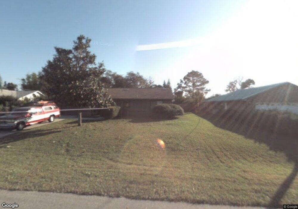
This home is located at 6229 E Baker Cir, Cocoa, FL 32927 and is currently estimated at $245,828, approximately $221 per square foot. 6229 E Baker Cir is a home located in Brevard County with nearby schools including Challenger 7 Elementary School, Space Coast Junior/Senior High School, and Sculptor Charter School.
Ownership History
Date
Name
Owned For
Owner Type
Purchase Details
Closed on
Feb 17, 1998
Sold by
Fed Natl Mtg Assn
Bought by
Daniels Jerrold E
Current Estimated Value
Home Financials for this Owner
Home Financials are based on the most recent Mortgage that was taken out on this home.
Original Mortgage
$49,437
Outstanding Balance
$8,666
Interest Rate
6.89%
Estimated Equity
$237,162
Purchase Details
Closed on
Oct 7, 1997
Sold by
Flatt G Grenville
Bought by
Fed Natl Mtg Assn
Create a Home Valuation Report for This Property
The Home Valuation Report is an in-depth analysis detailing your home's value as well as a comparison with similar homes in the area
Home Values in the Area
Average Home Value in this Area
Purchase History
| Date | Buyer | Sale Price | Title Company |
|---|---|---|---|
| Daniels Jerrold E | $48,600 | -- | |
| Fed Natl Mtg Assn | -- | -- |
Source: Public Records
Mortgage History
| Date | Status | Borrower | Loan Amount |
|---|---|---|---|
| Open | Daniels Jerrold E | $49,437 |
Source: Public Records
Tax History
| Year | Tax Paid | Tax Assessment Tax Assessment Total Assessment is a certain percentage of the fair market value that is determined by local assessors to be the total taxable value of land and additions on the property. | Land | Improvement |
|---|---|---|---|---|
| 2025 | $879 | $62,910 | -- | -- |
| 2024 | $857 | $61,140 | -- | -- |
| 2023 | $857 | $59,360 | $0 | $0 |
| 2022 | $808 | $57,640 | $0 | $0 |
| 2021 | $800 | $55,970 | $0 | $0 |
| 2020 | $751 | $55,200 | $0 | $0 |
| 2019 | $696 | $53,960 | $0 | $0 |
| 2018 | $692 | $52,960 | $0 | $0 |
| 2017 | $791 | $51,880 | $0 | $0 |
| 2016 | $796 | $50,820 | $18,000 | $32,820 |
| 2015 | $799 | $50,470 | $15,000 | $35,470 |
| 2014 | $804 | $50,070 | $11,000 | $39,070 |
Source: Public Records
Map
Nearby Homes
- 5265 Fay Blvd
- 6210 Stillwater Ave
- 6310 Depot Ave
- 4975 Fay Blvd
- 6375 Cable Ave
- 0000 Grissom Pkwy
- 6094 Cardiff Ave
- 4590 Ponds Dr
- 4688 Fairsun St
- 6499 Pleasant Ave
- 4852 Alfred St
- 5215 Holden Rd
- 5220 Holden Rd
- 4550 Piedras St
- 6620 Grissom Pkwy
- 4790 Greenhill St
- 5914 Stillwater Ave
- 00 Unknown
- 5221 Carrick Rd
- 0000 Unknown St
- 6231 E Baker Cir
- 6227 E Baker Cir
- 4880 Fay Blvd
- 6355 Stillwater Ave
- 4890 Fay Blvd
- 4860 Fay Blvd
- 6226 E Baker Cir
- 6225 E Baker Cir
- 6300 W Baker Cir
- 4840 Fay Blvd
- 6365 Stillwater Ave
- 4400 Fay Blvd
- 6113 Fay Blvd
- 6223 E Baker Cir
- 6301 W Baker Cir
- 4900 Fay Blvd
- Stillwater Ave
- 4820 Fay Blvd
- 6310 W Baker Cir
- 6221 E Baker Cir
Your Personal Tour Guide
Ask me questions while you tour the home.