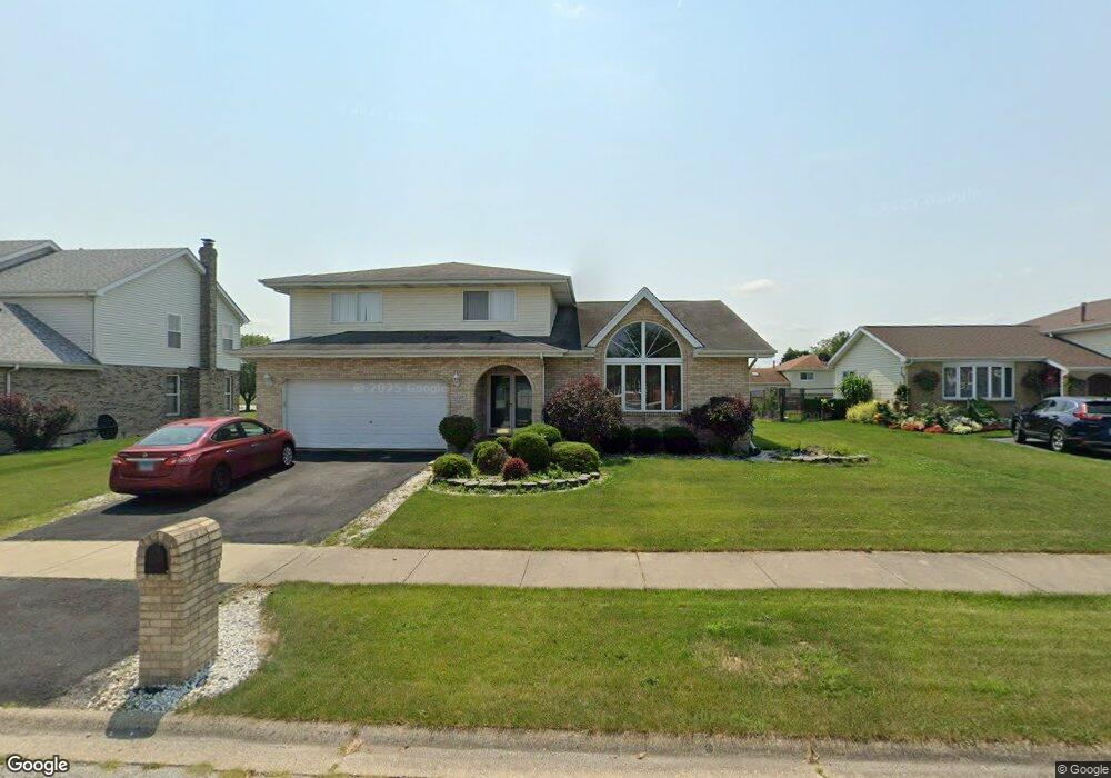
6229 Virginia Ln Matteson, IL 60443
West Matteson NeighborhoodEstimated Value: $339,342 - $442,000
3
Beds
3
Baths
2,420
Sq Ft
$153/Sq Ft
Est. Value
About This Home
This home is located at 6229 Virginia Ln, Matteson, IL 60443 and is currently estimated at $370,586, approximately $153 per square foot. 6229 Virginia Ln is a home located in Cook County with nearby schools including Colin Powell Middle School.
Ownership History
Date
Name
Owned For
Owner Type
Purchase Details
Closed on
Feb 15, 1997
Sold by
Heritage Trust Company
Bought by
Shipp Dwayne and Shipp Jamece S
Current Estimated Value
Home Financials for this Owner
Home Financials are based on the most recent Mortgage that was taken out on this home.
Original Mortgage
$172,350
Outstanding Balance
$16,746
Interest Rate
7.93%
Estimated Equity
$353,840
Create a Home Valuation Report for This Property
The Home Valuation Report is an in-depth analysis detailing your home's value as well as a comparison with similar homes in the area
Home Values in the Area
Average Home Value in this Area
Purchase History
| Date | Buyer | Sale Price | Title Company |
|---|---|---|---|
| Shipp Dwayne | $181,500 | -- |
Source: Public Records
Mortgage History
| Date | Status | Borrower | Loan Amount |
|---|---|---|---|
| Open | Shipp Dwayne | $172,350 |
Source: Public Records
Tax History
| Year | Tax Paid | Tax Assessment Tax Assessment Total Assessment is a certain percentage of the fair market value that is determined by local assessors to be the total taxable value of land and additions on the property. | Land | Improvement |
|---|---|---|---|---|
| 2025 | $10,232 | $28,000 | $5,706 | $22,294 |
| 2024 | $10,232 | $28,000 | $5,706 | $22,294 |
| 2023 | $9,016 | $28,000 | $5,706 | $22,294 |
| 2022 | $9,016 | $20,260 | $4,928 | $15,332 |
| 2021 | $9,149 | $20,259 | $4,927 | $15,332 |
| 2020 | $8,960 | $20,259 | $4,927 | $15,332 |
| 2019 | $7,757 | $17,626 | $4,408 | $13,218 |
| 2018 | $7,641 | $17,626 | $4,408 | $13,218 |
| 2017 | $7,461 | $17,626 | $4,408 | $13,218 |
| 2016 | $7,883 | $17,730 | $3,890 | $13,840 |
| 2015 | $7,676 | $17,730 | $3,890 | $13,840 |
| 2014 | $7,495 | $17,730 | $3,890 | $13,840 |
| 2013 | $8,555 | $21,226 | $3,890 | $17,336 |
Source: Public Records
Map
Nearby Homes
- 433 Wheatfield Rd
- 56 Timberlane Rd
- 34 Wedgewood Rd
- 6226 Beechwood Rd
- 42 Pheasant Rd
- 123 Oriole Rd
- 10 Wedgewood Rd
- 152 Oakhurst Rd
- 6306 Beaver Dam Rd
- 25 Pheasant Rd
- 5943 Woodgate Dr
- 5911 Timberlane Rd
- 6037 Spring Ln
- 13 Oakview Rd
- 6021 Spring Ln
- 5826 Kathryn Ln
- 156 Cloverleaf Rd
- 6125 Sunflower Dr
- 5808 Allemong Dr
- 111 Deerpath Rd
- 6237 Virginia Ln
- 6221 Virginia Ln
- 6228 Allemong Dr
- 6236 Allemong Dr
- 6220 Allemong Dr
- 6245 Virginia Ln
- 6228 Virginia Ln
- 6244 Allemong Dr
- 6220 Virginia Ln
- 6236 Virginia Ln
- 6253 Virginia Ln
- 6244 Virginia Ln
- 249 Churn Rd
- 257 Churn Rd
- 6252 Allemong Dr
- 241 Churn Rd
- 265 Churn Rd
- 6252 Virginia Ln
- 6261 Virginia Ln
- 6233 Allemong Dr