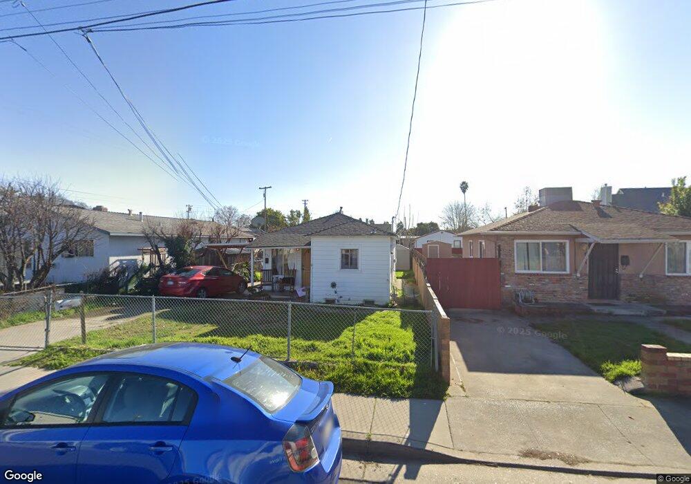
623 Andrew St West Sacramento, CA 95605
Broderick-Bryte NeighborhoodEstimated Value: $206,229 - $337,000
1
Bed
1
Bath
620
Sq Ft
$419/Sq Ft
Est. Value
About This Home
This home is located at 623 Andrew St, West Sacramento, CA 95605 and is currently estimated at $259,557, approximately $418 per square foot. 623 Andrew St is a home located in Yolo County with nearby schools including Elkhorn Village Elementary, River City High, and River Charter Schools Lighthouse Charter.
Ownership History
Date
Name
Owned For
Owner Type
Purchase Details
Closed on
May 18, 2021
Sold by
Pierre Labonte Richard and Lyn Diana
Bought by
Richard And Diana La Bonte Revocable Trust and La Bonte
Current Estimated Value
Purchase Details
Closed on
Jan 14, 2010
Sold by
Labonte Richard P and Labonte Richard Pierre
Bought by
Labonte Richard Pierre and Labonte Diana Lyn
Purchase Details
Closed on
Nov 16, 2000
Sold by
Labonte Consuelo
Bought by
Labonte Richard P and Labonte Richard Pierre
Purchase Details
Closed on
Apr 17, 1998
Sold by
Consuelo Labonte
Bought by
Labonte Consuelo and Labonte Richard P
Create a Home Valuation Report for This Property
The Home Valuation Report is an in-depth analysis detailing your home's value as well as a comparison with similar homes in the area
Home Values in the Area
Average Home Value in this Area
Purchase History
| Date | Buyer | Sale Price | Title Company |
|---|---|---|---|
| Richard And Diana La Bonte Revocable Trust | -- | Golbahar Shareen | |
| Labonte Richard Pierre | -- | None Available | |
| Labonte Richard P | -- | -- | |
| Labonte Consuelo | -- | -- |
Source: Public Records
Tax History Compared to Growth
Tax History
| Year | Tax Paid | Tax Assessment Tax Assessment Total Assessment is a certain percentage of the fair market value that is determined by local assessors to be the total taxable value of land and additions on the property. | Land | Improvement |
|---|---|---|---|---|
| 2025 | $299 | $18,394 | $5,725 | $12,669 |
| 2023 | $299 | $17,681 | $5,503 | $12,178 |
| 2022 | $291 | $17,336 | $5,396 | $11,940 |
| 2021 | $287 | $16,997 | $5,291 | $11,706 |
| 2020 | $273 | $16,823 | $5,237 | $11,586 |
| 2019 | $257 | $16,494 | $5,135 | $11,359 |
| 2018 | $252 | $16,172 | $5,035 | $11,137 |
| 2017 | $250 | $15,856 | $4,937 | $10,919 |
| 2016 | $246 | $15,546 | $4,841 | $10,705 |
| 2015 | $244 | $15,314 | $4,769 | $10,545 |
| 2014 | $244 | $15,015 | $4,676 | $10,339 |
Source: Public Records
Map
Nearby Homes
- 636 Andrew St
- 641 Andrew St
- 881 Reuter Dr
- 750 Casselman Dr
- 417 A St
- 392 Midstream Ln
- 401 6th St
- 411 6th St
- 427 6th St
- 620 E St
- 610 E St
- 345 Washington Place
- 441 6th St
- 213 Washington Place
- Residence 2E Plan at Four40 West
- Residence 2 Plan at Four40 West
- Residence 1E Plan at Four40 West
- Residence 1 Plan at Four40 West
- 600 E St
- 281 3rd St