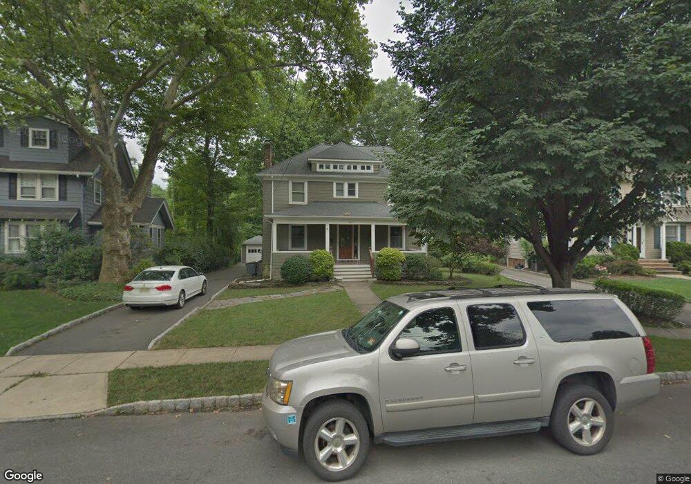
623 Dorian Rd Westfield, NJ 07090
Estimated Value: $1,147,123 - $1,403,000
--
Bed
--
Bath
2,453
Sq Ft
$515/Sq Ft
Est. Value
About This Home
This home is located at 623 Dorian Rd, Westfield, NJ 07090 and is currently estimated at $1,263,531, approximately $515 per square foot. 623 Dorian Rd is a home located in Union County with nearby schools including McKinley Elementary School, Edison Intermediate School, and Westfield Senior High School.
Ownership History
Date
Name
Owned For
Owner Type
Purchase Details
Closed on
Aug 21, 2009
Sold by
Scheuermann Otto Gregory David and Scheuermann Alida Maria
Bought by
Della Rocco Todd and Della Rocco Elisa M
Current Estimated Value
Home Financials for this Owner
Home Financials are based on the most recent Mortgage that was taken out on this home.
Original Mortgage
$375,000
Outstanding Balance
$243,002
Interest Rate
5.17%
Mortgage Type
New Conventional
Estimated Equity
$1,020,529
Create a Home Valuation Report for This Property
The Home Valuation Report is an in-depth analysis detailing your home's value as well as a comparison with similar homes in the area
Home Values in the Area
Average Home Value in this Area
Purchase History
| Date | Buyer | Sale Price | Title Company |
|---|---|---|---|
| Della Rocco Todd | $625,000 | None Available |
Source: Public Records
Mortgage History
| Date | Status | Borrower | Loan Amount |
|---|---|---|---|
| Open | Della Rocco Todd | $375,000 |
Source: Public Records
Tax History Compared to Growth
Tax History
| Year | Tax Paid | Tax Assessment Tax Assessment Total Assessment is a certain percentage of the fair market value that is determined by local assessors to be the total taxable value of land and additions on the property. | Land | Improvement |
|---|---|---|---|---|
| 2025 | $17,719 | $786,800 | $529,300 | $257,500 |
| 2024 | $17,357 | $786,800 | $529,300 | $257,500 |
| 2023 | $17,357 | $786,800 | $529,300 | $257,500 |
| 2022 | $16,995 | $786,800 | $529,300 | $257,500 |
| 2021 | $17,018 | $786,800 | $529,300 | $257,500 |
| 2020 | $16,979 | $786,800 | $529,300 | $257,500 |
| 2019 | $16,916 | $786,800 | $529,300 | $257,500 |
| 2018 | $16,195 | $174,200 | $65,700 | $108,500 |
| 2017 | $16,107 | $174,200 | $65,700 | $108,500 |
| 2016 | $15,729 | $174,200 | $65,700 | $108,500 |
| 2015 | $15,415 | $174,200 | $65,700 | $108,500 |
| 2014 | $14,906 | $174,200 | $65,700 | $108,500 |
Source: Public Records
Map
Nearby Homes
- 614 Dorian Rd
- 525 Edgar Rd
- 524 Edgar Rd
- 538 Westfield Ave
- 522 Boulevard
- 215 Ross Place Unit J
- 603 Carleton Rd
- 203 Ross Place
- 724 South Ave W Unit 724A
- 1466 Lamberts Mill Rd
- 676 Vermont St
- 834 Tice Place
- 814 Summit Ave
- 554 Hort St
- 119 Lamberts Mill Rd
- 817 Summit Ave
- 779 Lamberts Mill Rd
- 2154 W Broad St
- 112 Windsor Ave
- 260 Prospect St Unit C15
- 627 Dorian Rd
- 619 Dorian Rd
- 608 Shadowlawn Dr
- 631 Dorian Rd
- 615 Dorian Rd
- 614 Shadowlawn Dr
- 620 Shadowlawn Dr
- 635 Dorian Rd
- 626 Dorian Rd
- 611 Dorian Rd
- 639 Dorian Rd
- 632 Dorian Rd
- 626 Shadowlawn Dr
- 622 Dorian Rd
- 18 Stoneleigh Park
- 618 Dorian Rd
- 19 Stoneleigh Park
- 643 Dorian Rd
- 636 Dorian Rd
- 603 Shadowlawn Dr