6230 Big Block Blvd Helena, MT 59602
Birdseye NeighborhoodEstimated Value: $544,000 - $722,000
3
Beds
2
Baths
3,114
Sq Ft
$204/Sq Ft
Est. Value
About This Home
This home is located at 6230 Big Block Blvd, Helena, MT 59602 and is currently estimated at $635,672, approximately $204 per square foot. 6230 Big Block Blvd is a home located in Lewis and Clark County with nearby schools including Trinity School, C.R. Anderson Middle School, and Last Chance Academy.
Ownership History
Date
Name
Owned For
Owner Type
Purchase Details
Closed on
Oct 10, 2025
Sold by
Eury David R
Bought by
Eury Sheila S
Current Estimated Value
Purchase Details
Closed on
Nov 15, 2010
Sold by
Mays Jason E and Mays Amy F
Bought by
Eury Sheila S and Eury David R
Home Financials for this Owner
Home Financials are based on the most recent Mortgage that was taken out on this home.
Original Mortgage
$172,000
Interest Rate
4.27%
Mortgage Type
New Conventional
Create a Home Valuation Report for This Property
The Home Valuation Report is an in-depth analysis detailing your home's value as well as a comparison with similar homes in the area
Home Values in the Area
Average Home Value in this Area
Purchase History
| Date | Buyer | Sale Price | Title Company |
|---|---|---|---|
| Eury Sheila S | -- | Flying S Title & Escrow | |
| Eury Sheila S | -- | First Mt Title Co Of Helena |
Source: Public Records
Mortgage History
| Date | Status | Borrower | Loan Amount |
|---|---|---|---|
| Previous Owner | Eury Sheila S | $172,000 |
Source: Public Records
Tax History Compared to Growth
Tax History
| Year | Tax Paid | Tax Assessment Tax Assessment Total Assessment is a certain percentage of the fair market value that is determined by local assessors to be the total taxable value of land and additions on the property. | Land | Improvement |
|---|---|---|---|---|
| 2025 | $2,458 | $564,700 | $0 | $0 |
| 2024 | $2,748 | $395,500 | $0 | $0 |
| 2023 | $2,797 | $395,500 | $0 | $0 |
| 2022 | $2,612 | $313,800 | $0 | $0 |
| 2021 | $2,499 | $313,800 | $0 | $0 |
| 2020 | $2,385 | $284,100 | $0 | $0 |
| 2019 | $2,420 | $284,100 | $0 | $0 |
| 2018 | $2,256 | $258,700 | $0 | $0 |
| 2017 | $1,977 | $258,700 | $0 | $0 |
| 2016 | $1,934 | $235,100 | $0 | $0 |
| 2015 | $1,849 | $235,100 | $0 | $0 |
| 2014 | $1,316 | $97,255 | $0 | $0 |
Source: Public Records
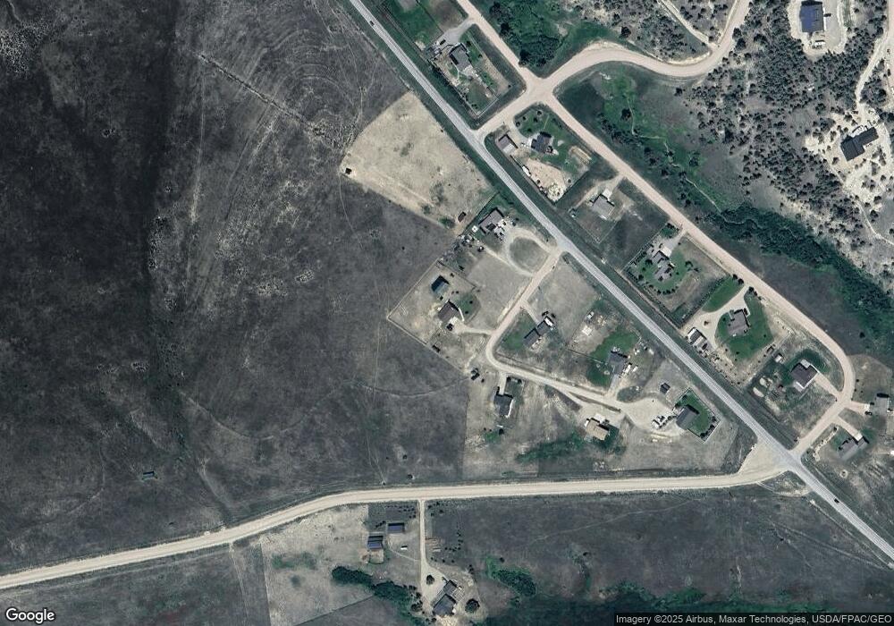
Map
Nearby Homes
- 5747 Eagle Ridge Rd
- 5524 Birdseye Rd
- 3925 Birdseye Rd
- Tbd Lone Pine Rd
- 5386 Silver Creek Rd
- 6260 Head Ln
- 6790 Raven Rd
- 7220 Austin Rd
- 315 Franklin Mine Rd
- 7285 Spring Creek Trail
- 6770 Silver Fox Ct
- Tract 30 Turk Rd Unit TR 30
- 7980 Wild Rose Ln
- tbd Lincoln Rd W
- 6760 Scratchgravel Dr
- 4982 Smallwood Ct
- 7175 Jenroe Dr
- 7120 Jenroe Dr
- 7190 Jenroe Dr
- 867 Kamera Ct
- 6242 Big Block Blvd
- 6222 Big Block Blvd
- 6225 Big Block Blvd
- 5064 Stallion Ridge Dr
- 6210 Big Block Blvd
- 5088 Stallion Ridge Dr
- 5050 Stallion Ridge Dr
- 5106 Stallion Ridge Dr
- 6201 Big Block Blvd
- 5032 Stallion Ridge Dr
- 5124 Stallion Ridge Dr
- 5723 Austin Rd
- 5012 Stallion Ridge Dr
- 5068 Seabiscuit Dr
- 5128 Walden Loop
- 5112 Walden Loop
- 5142 Stallion Ridge Dr
- 5092 Seabiscuit Dr
- 5015 Stallion Ridge Dr
- 5160 Stallion Ridge Dr