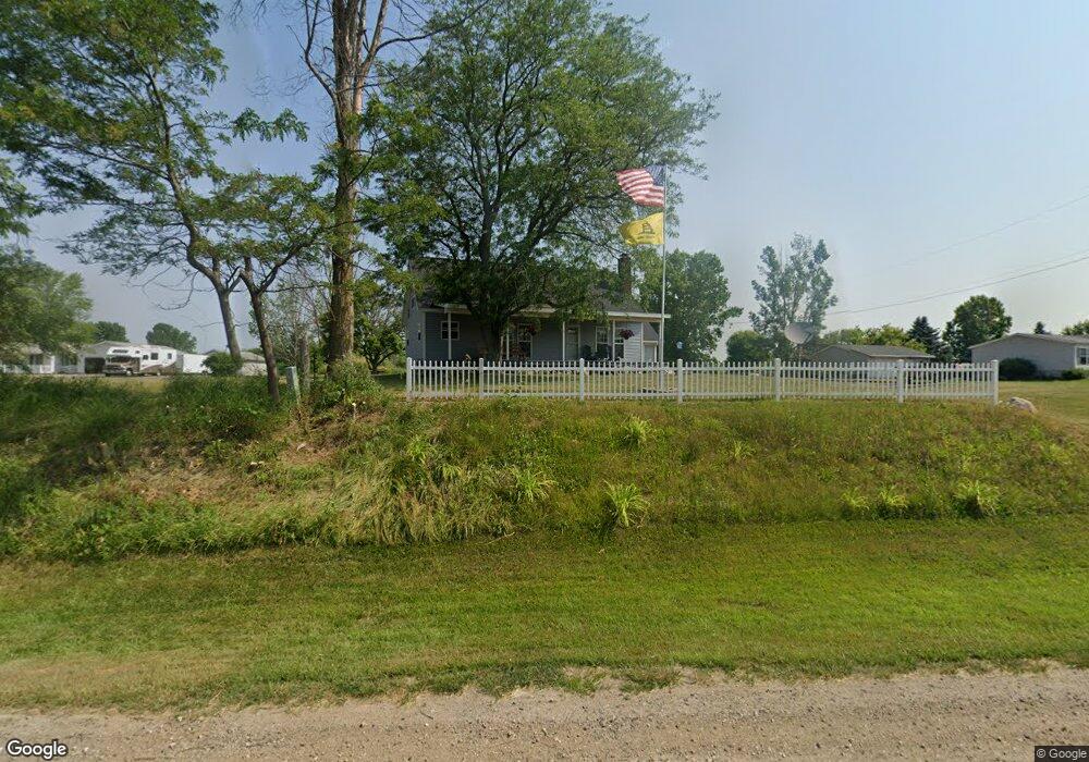
6237 E Clinton Trail Eaton Rapids, MI 48827
Estimated Value: $264,000 - $337,000
4
Beds
2
Baths
1,750
Sq Ft
$171/Sq Ft
Est. Value
About This Home
This home is located at 6237 E Clinton Trail, Eaton Rapids, MI 48827 and is currently estimated at $300,029, approximately $171 per square foot. 6237 E Clinton Trail is a home located in Eaton County with nearby schools including Lockwood Elementary School, Greyhound Intermediate School, and Eaton Rapids Middle School.
Ownership History
Date
Name
Owned For
Owner Type
Purchase Details
Closed on
Mar 3, 2008
Sold by
Cavender Edward H and Mohr Elaine M
Bought by
Oconnell John R and Endres Oconnell Suzanne L
Current Estimated Value
Home Financials for this Owner
Home Financials are based on the most recent Mortgage that was taken out on this home.
Original Mortgage
$159,598
Outstanding Balance
$98,194
Interest Rate
5.51%
Mortgage Type
Unknown
Estimated Equity
$201,835
Purchase Details
Closed on
Jun 28, 2007
Sold by
Payne Colt H and Payne Carla L
Bought by
Kavender Edward H and Mohr Elaine M
Create a Home Valuation Report for This Property
The Home Valuation Report is an in-depth analysis detailing your home's value as well as a comparison with similar homes in the area
Home Values in the Area
Average Home Value in this Area
Purchase History
| Date | Buyer | Sale Price | Title Company |
|---|---|---|---|
| Oconnell John R | $154,500 | None Available | |
| Kavender Edward H | $145,000 | The Talon Group |
Source: Public Records
Mortgage History
| Date | Status | Borrower | Loan Amount |
|---|---|---|---|
| Open | Oconnell John R | $159,598 |
Source: Public Records
Tax History
| Year | Tax Paid | Tax Assessment Tax Assessment Total Assessment is a certain percentage of the fair market value that is determined by local assessors to be the total taxable value of land and additions on the property. | Land | Improvement |
|---|---|---|---|---|
| 2025 | $2,783 | $128,200 | $0 | $0 |
| 2024 | $1,040 | $121,800 | $0 | $0 |
| 2023 | $990 | $110,200 | $0 | $0 |
| 2022 | $2,537 | $101,400 | $0 | $0 |
| 2021 | $2,380 | $96,400 | $0 | $0 |
| 2020 | $2,405 | $91,700 | $0 | $0 |
| 2019 | $2,385 | $82,900 | $0 | $0 |
| 2018 | $2,336 | $68,600 | $14,700 | $53,900 |
| 2017 | $2,223 | $68,600 | $14,700 | $53,900 |
| 2016 | -- | $68,600 | $14,700 | $53,900 |
| 2015 | -- | $68,600 | $14,700 | $53,900 |
| 2014 | -- | $64,070 | $0 | $0 |
| 2013 | -- | $64,000 | $0 | $0 |
Source: Public Records
Map
Nearby Homes
- 3187 S Canfield Rd
- 7220 E 5 Point Hwy
- 3765 Whittum Rd
- 5647 S Royston Rd
- 6642 E Spicerville Hwy
- 5375 Island Hwy
- 800 Brook St
- 7565 E Spicerville Hwy
- 220 Dexter Rd
- 615 Jennie St
- 108 Division St
- 500 King St
- 539 Harwood Ct Unit 134
- 532 Harwood Ct
- 680 N Gallery Dr
- 3400 E 5 Point Hwy
- 502 S Main St
- 220 S River St
- 128 State St
- 109 E Plain St
- 6215 E Clinton Trail
- 6271 E Clinton Trail
- 6230 E Clinton Trail
- 6299 E Clinton Trail
- 6105 E Clinton Trail
- 6331 E Clinton Trail
- 6328 E Clinton Trail
- 6135 E Clinton Trail
- 6401 E Clinton Trail
- 6051 E Clinton Trail
- 6054 E Clinton Trail
- 2557 S Royston Rd
- 2355 S Royston Rd
- 2526 S Royston Rd
- 2526 S Royston Rd
- 2526 S Royston Rd
- 5940 E Clinton Trail
- 5941 E Clinton Trail
- Parcel A Royston
- 2801 S Royston Rd
Your Personal Tour Guide
Ask me questions while you tour the home.