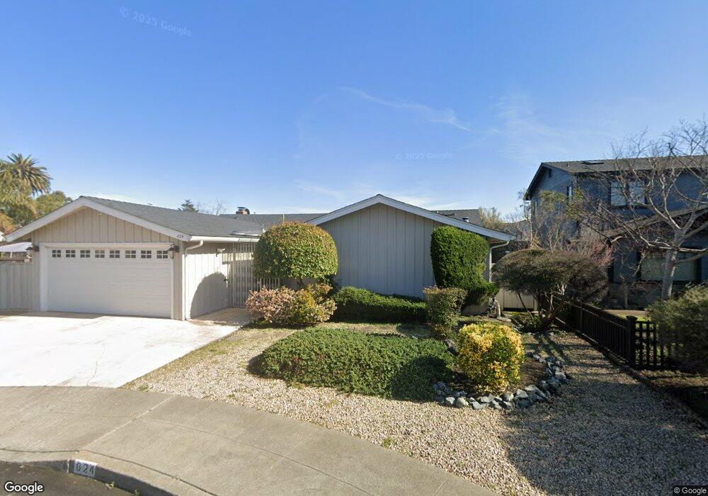
624 Rock Isle Alameda, CA 94501
South Shore NeighborhoodEstimated Value: $1,487,000 - $1,595,000
3
Beds
3
Baths
1,799
Sq Ft
$854/Sq Ft
Est. Value
About This Home
This home is located at 624 Rock Isle, Alameda, CA 94501 and is currently estimated at $1,536,873, approximately $854 per square foot. 624 Rock Isle is a home located in Alameda County with nearby schools including Franklin Elementary, Will C. Wood Middle School, and Encinal Junior/Senior High.
Ownership History
Date
Name
Owned For
Owner Type
Purchase Details
Closed on
Jun 26, 2024
Sold by
Monasterio Delia
Bought by
2001 Monasterio Family Trust and Montasterio
Current Estimated Value
Purchase Details
Closed on
Sep 16, 2016
Sold by
Nilmeier Barbara and Monasterio John
Bought by
Monasterio Delia
Purchase Details
Closed on
Jun 22, 2005
Sold by
Hatch Ruth
Bought by
Hatch Ruth and Ruth Hatch Revocable Trust
Create a Home Valuation Report for This Property
The Home Valuation Report is an in-depth analysis detailing your home's value as well as a comparison with similar homes in the area
Home Values in the Area
Average Home Value in this Area
Purchase History
| Date | Buyer | Sale Price | Title Company |
|---|---|---|---|
| 2001 Monasterio Family Trust | -- | None Listed On Document | |
| Monasterio Delia | -- | None Available | |
| Hatch Ruth | -- | -- |
Source: Public Records
Tax History Compared to Growth
Tax History
| Year | Tax Paid | Tax Assessment Tax Assessment Total Assessment is a certain percentage of the fair market value that is determined by local assessors to be the total taxable value of land and additions on the property. | Land | Improvement |
|---|---|---|---|---|
| 2025 | $16,996 | $1,235,958 | $473,508 | $769,450 |
| 2024 | $16,996 | $1,211,588 | $464,224 | $754,364 |
| 2023 | $16,318 | $1,194,700 | $455,124 | $739,576 |
| 2022 | $15,941 | $1,164,275 | $446,200 | $725,075 |
| 2021 | $15,534 | $1,141,311 | $437,452 | $710,859 |
| 2020 | $15,340 | $1,136,541 | $432,968 | $703,573 |
| 2019 | $14,727 | $1,114,260 | $424,480 | $689,780 |
| 2018 | $14,345 | $1,092,420 | $416,160 | $676,260 |
| 2017 | $13,654 | $1,071,000 | $408,000 | $663,000 |
| 2016 | $6,865 | $461,392 | $138,115 | $323,277 |
| 2015 | $6,838 | $454,462 | $136,040 | $318,422 |
| 2014 | $6,496 | $445,560 | $133,375 | $312,185 |
Source: Public Records
Map
Nearby Homes
- 608 Fortress Isle
- 1000 Sherman St
- 1019 Sherman St
- 404 Coral Reef Rd
- 325 Kitty Hawk Rd Unit 207
- 325 Kitty Hawk Rd Unit 304
- 1812 San Antonio Ave
- 1232 Bay St
- 1941 Franciscan Way
- 955 Shorepoint Ct Unit 110
- 610 Grand St
- 965 Shorepoint Ct
- 2031 Otis Dr Unit H
- 1001 Shoreline Dr Unit 301
- 950 Shorepoint Ct Unit 100
- 1203 Benton St
- 933 Shoreline Dr Unit 203
- 2106 Otis Dr Unit D
- 1220 Chestnut St
- 2060 San Antonio Ave