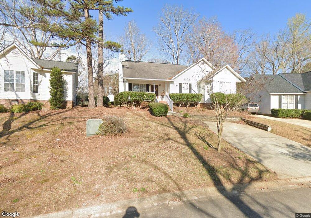
624 Whitland Rd Lexington, SC 29072
Estimated Value: $241,919 - $244,000
3
Beds
2
Baths
1,260
Sq Ft
$193/Sq Ft
Est. Value
About This Home
This home is located at 624 Whitland Rd, Lexington, SC 29072 and is currently estimated at $242,730, approximately $192 per square foot. 624 Whitland Rd is a home located in Lexington County with nearby schools including Midway Elementary School, River Bluff High School, and Lake Murray Montessori School.
Ownership History
Date
Name
Owned For
Owner Type
Purchase Details
Closed on
Jan 24, 2007
Sold by
Scott Elizabeth A and Gause Kevin M
Bought by
Sharpe Tammy
Current Estimated Value
Home Financials for this Owner
Home Financials are based on the most recent Mortgage that was taken out on this home.
Original Mortgage
$123,068
Outstanding Balance
$73,012
Interest Rate
6.08%
Mortgage Type
FHA
Estimated Equity
$169,718
Purchase Details
Closed on
Jul 20, 2000
Sold by
Kaminer Cheryl J
Bought by
Buskey Sonya A
Purchase Details
Closed on
Jul 17, 2000
Sold by
Tronco Anthony
Bought by
Scott Elizabeth A
Create a Home Valuation Report for This Property
The Home Valuation Report is an in-depth analysis detailing your home's value as well as a comparison with similar homes in the area
Home Values in the Area
Average Home Value in this Area
Purchase History
| Date | Buyer | Sale Price | Title Company |
|---|---|---|---|
| Sharpe Tammy | $125,000 | None Available | |
| Buskey Sonya A | $82,500 | -- | |
| Scott Elizabeth A | $97,500 | -- |
Source: Public Records
Mortgage History
| Date | Status | Borrower | Loan Amount |
|---|---|---|---|
| Open | Sharpe Tammy | $123,068 |
Source: Public Records
Tax History Compared to Growth
Tax History
| Year | Tax Paid | Tax Assessment Tax Assessment Total Assessment is a certain percentage of the fair market value that is determined by local assessors to be the total taxable value of land and additions on the property. | Land | Improvement |
|---|---|---|---|---|
| 2024 | $756 | $5,058 | $1,400 | $3,658 |
| 2023 | $756 | $5,058 | $1,400 | $3,658 |
| 2022 | $754 | $5,058 | $1,400 | $3,658 |
| 2020 | $773 | $5,058 | $1,400 | $3,658 |
| 2019 | $695 | $4,466 | $1,200 | $3,266 |
| 2018 | $682 | $4,466 | $1,200 | $3,266 |
| 2017 | $662 | $4,466 | $1,200 | $3,266 |
| 2016 | $656 | $4,466 | $1,200 | $3,266 |
| 2014 | $701 | $4,998 | $1,240 | $3,758 |
| 2013 | -- | $5,000 | $1,240 | $3,760 |
Source: Public Records
Map
Nearby Homes
- 488 Forest Edge Trail
- 481 Forest Edge Trail
- 2440 Thode Ln
- 476 Forest Edge Trail
- 113 Silverstone Rd
- 712 Bentley Dr
- 1442 Trailhead Ln
- 108 Hunters Ridge Dr
- 109 Timberline Ct
- 441 Forest Edge Trail
- 1423 Trailhead Ln
- 1453 Trailhead Ln
- 433 Forest Edge Trail
- 109 Armanda Rd
- 425 Forest Edge Trail
- 417 Forest Edge Trail
- DARBY Plan at Cross Creek
- BRADFORD Plan at Cross Creek
- LITCHFIELD Plan at Cross Creek
- EATON Plan at Cross Creek
- 620 Whitland Rd
- 628 Whitland Rd
- 625 Whitland Rd
- 616 Whitland Rd
- 632 Whitland Rd
- 615 Whitland Rd
- 548 Saddlebrooke Ln
- 612 Whitland Rd
- 636 Whitland Rd
- 609 Whitland Rd
- 544 Saddlebrooke Ln
- 834 Bentley Dr
- 830 Bentley Dr
- 509 Cranford Ct
- 608 Whitland Rd
- 640 Whitland Rd
- 605 Whitland Rd
- 508 Cranford Ct
- 540 Saddlebrooke Ln
- 826 Bentley Dr