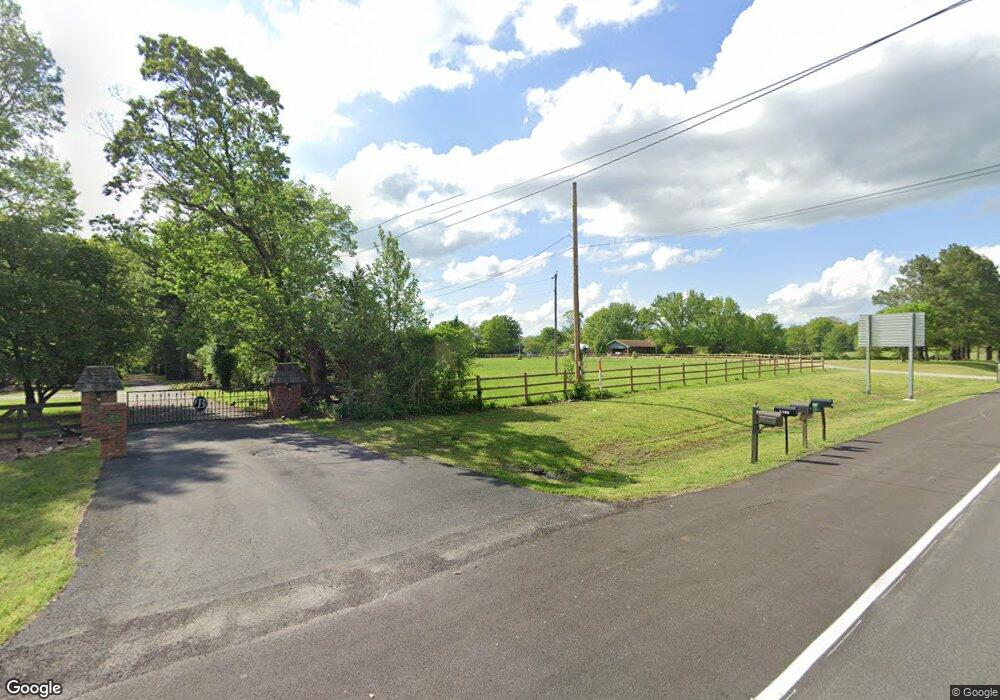
6245 N Main St Rd Joplin, MO 64801
Estimated Value: $276,000 - $781,618
4
Beds
4
Baths
6,424
Sq Ft
$82/Sq Ft
Est. Value
About This Home
This home is located at 6245 N Main St Rd, Joplin, MO 64801 and is currently estimated at $528,809, approximately $82 per square foot. 6245 N Main St Rd is a home with nearby schools including Carl Junction Primary School (K-1), Carl Junction Intermediate School, and Carl Junction Primary School (2-3).
Ownership History
Date
Name
Owned For
Owner Type
Purchase Details
Closed on
Oct 15, 2009
Sold by
Perry David H and Perry Christi Ann
Bought by
Brandon Michael and Brandon Marcia S
Current Estimated Value
Home Financials for this Owner
Home Financials are based on the most recent Mortgage that was taken out on this home.
Original Mortgage
$250,000
Outstanding Balance
$163,413
Interest Rate
5.1%
Mortgage Type
New Conventional
Estimated Equity
$365,396
Create a Home Valuation Report for This Property
The Home Valuation Report is an in-depth analysis detailing your home's value as well as a comparison with similar homes in the area
Home Values in the Area
Average Home Value in this Area
Purchase History
| Date | Buyer | Sale Price | Title Company |
|---|---|---|---|
| Brandon Michael | -- | Abbey |
Source: Public Records
Mortgage History
| Date | Status | Borrower | Loan Amount |
|---|---|---|---|
| Open | Brandon Michael | $250,000 |
Source: Public Records
Tax History Compared to Growth
Tax History
| Year | Tax Paid | Tax Assessment Tax Assessment Total Assessment is a certain percentage of the fair market value that is determined by local assessors to be the total taxable value of land and additions on the property. | Land | Improvement |
|---|---|---|---|---|
| 2024 | $4,239 | $94,080 | $11,350 | $82,730 |
| 2023 | $4,239 | $94,080 | $11,350 | $82,730 |
| 2022 | $4,286 | $94,430 | $11,350 | $83,080 |
| 2021 | $4,259 | $94,430 | $11,350 | $83,080 |
| 2020 | $3,985 | $87,430 | $11,350 | $76,080 |
| 2019 | $3,989 | $87,430 | $11,350 | $76,080 |
| 2018 | $3,515 | $77,360 | $0 | $0 |
| 2017 | $3,526 | $77,360 | $0 | $0 |
| 2016 | $3,421 | $75,730 | $0 | $0 |
| 2015 | $3,344 | $75,730 | $0 | $0 |
| 2014 | $3,344 | $75,730 | $0 | $0 |
Source: Public Records
Map
Nearby Homes
- Xxx Wall St
- 5981 Pearl St
- Lot 1A Hwy 171 & Fir Rd
- Lot 1B Hwy 171 & Fir Rd
- Lot 1 Hwy 171 & Fir Rd
- 25122 Gum Rd
- LOT 4C Hwy 171 & Fir Rd Unit 4C
- 6548 Mo-171
- 512 Dogwood Trails Loop
- 701 Woodland St
- 25327 Central Ave
- 117 Rocky Ln
- XXX Lone Elm
- 5885 N Main Street Rd
- TBD N Main Street Rd
- 235 Timber Ln
- 3607 Mckee Ave
- 3601 N Mckee Ave
- 205 Luke Place
- 25949 Paper Loop
- 24975 Northeast St
- 24968 Northeast St
- TBD Northeast St
- 6283 N Main Street Rd
- 6326 N Main Rd
- 6110 N Main St St
- 24859 Northeast St
- 6110 N Main Street Rd
- 6432 N Main Street Rd
- 6055 N Main St
- 6110 N Main St
- 6055 N Main Street Rd
- 6074 N Main Street Rd
- 6450 N Main Street Rd
- 25285 Tabor Main Rd
- 25285 Tabor Main Rd
- 0 N Main St Unit 142795
- 0 N Main St Unit 90935
- 0 N Main St
- 6015 N Main Street Rd
