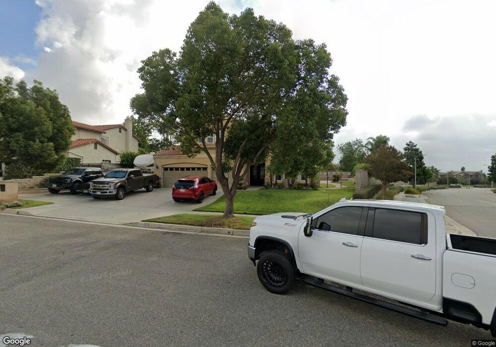
6249 Bronco Place Rancho Cucamonga, CA 91739
Etiwanda NeighborhoodEstimated Value: $1,268,000 - $1,374,000
5
Beds
3
Baths
3,439
Sq Ft
$381/Sq Ft
Est. Value
About This Home
This home is located at 6249 Bronco Place, Rancho Cucamonga, CA 91739 and is currently estimated at $1,308,987, approximately $380 per square foot. 6249 Bronco Place is a home located in San Bernardino County with nearby schools including John L. Golden Elementary, Day Creek Intermediate, and Los Osos High.
Ownership History
Date
Name
Owned For
Owner Type
Purchase Details
Closed on
Jul 25, 2023
Sold by
Lujan David and Lujan Delia
Bought by
David And Delia Lujan Family Trust and Lujan
Current Estimated Value
Purchase Details
Closed on
Aug 18, 2000
Sold by
Wealth V Llc
Bought by
Lujan David and Lujan Delia
Home Financials for this Owner
Home Financials are based on the most recent Mortgage that was taken out on this home.
Original Mortgage
$230,500
Interest Rate
8.2%
Create a Home Valuation Report for This Property
The Home Valuation Report is an in-depth analysis detailing your home's value as well as a comparison with similar homes in the area
Home Values in the Area
Average Home Value in this Area
Purchase History
| Date | Buyer | Sale Price | Title Company |
|---|---|---|---|
| David And Delia Lujan Family Trust | -- | None Listed On Document | |
| Lujan David | $332,000 | Lawyers Title Company |
Source: Public Records
Mortgage History
| Date | Status | Borrower | Loan Amount |
|---|---|---|---|
| Previous Owner | Lujan David | $230,500 |
Source: Public Records
Tax History Compared to Growth
Tax History
| Year | Tax Paid | Tax Assessment Tax Assessment Total Assessment is a certain percentage of the fair market value that is determined by local assessors to be the total taxable value of land and additions on the property. | Land | Improvement |
|---|---|---|---|---|
| 2025 | $6,891 | $547,781 | $125,034 | $422,747 |
| 2024 | $6,891 | $537,040 | $122,582 | $414,458 |
| 2023 | $6,748 | $526,509 | $120,178 | $406,331 |
| 2022 | $6,680 | $516,186 | $117,822 | $398,364 |
| 2021 | $6,584 | $506,065 | $115,512 | $390,553 |
| 2020 | $6,510 | $500,876 | $114,328 | $386,548 |
| 2019 | $6,358 | $491,055 | $112,086 | $378,969 |
| 2018 | $6,573 | $481,426 | $109,888 | $371,538 |
| 2017 | $6,329 | $471,986 | $107,733 | $364,253 |
| 2016 | $6,185 | $462,732 | $105,621 | $357,111 |
| 2015 | $6,151 | $455,781 | $104,034 | $351,747 |
| 2014 | $6,021 | $446,853 | $101,996 | $344,857 |
Source: Public Records
Map
Nearby Homes
- 6197 Greenwood Place
- 12420 Silk Oak Ct
- 12794 Windstar Dr
- 12427 Silk Oak Ct
- 12331 Dove Tree Dr
- 12184 Clydesdale Dr
- 12406 Challendon Dr
- 12356 Thistle Dr
- 12430 Split Rein Dr
- 6525 Etiwanda Ave
- 6732 Plum Way
- 6575 Etiwanda Ave
- 12206 Tunbridge Ct
- 6264 Shore Pine Ct
- 12325 Bellflower Ct
- 5675 W Overlook Dr
- 12487 Altura Dr
- 6921 Dahlia Ct
- 6822 Foxtail Ct
- 11839 Antler Peak Ct
- 6239 Bronco Place
- 12457 High Horse Dr
- 6249 Filly Ct
- 6268 Stable Falls Ave
- 6248 Bronco Place
- 12477 High Horse Dr
- 6238 Bronco Place
- 6259 Filly Ct
- 12438 High Horse Dr
- 12547 High Horse Dr
- 12428 High Horse Dr
- 6278 Stable Falls Ave
- 13395 Silver Sky Rd
- 13318 Silver Sky Rd
- 13365 Silver Sky Rd
- 13368 Silver Sky Rd
- 6269 Filly Ct
- 12418 High Horse Dr
- 12389 High Horse Dr
- 12458 High Horse Dr