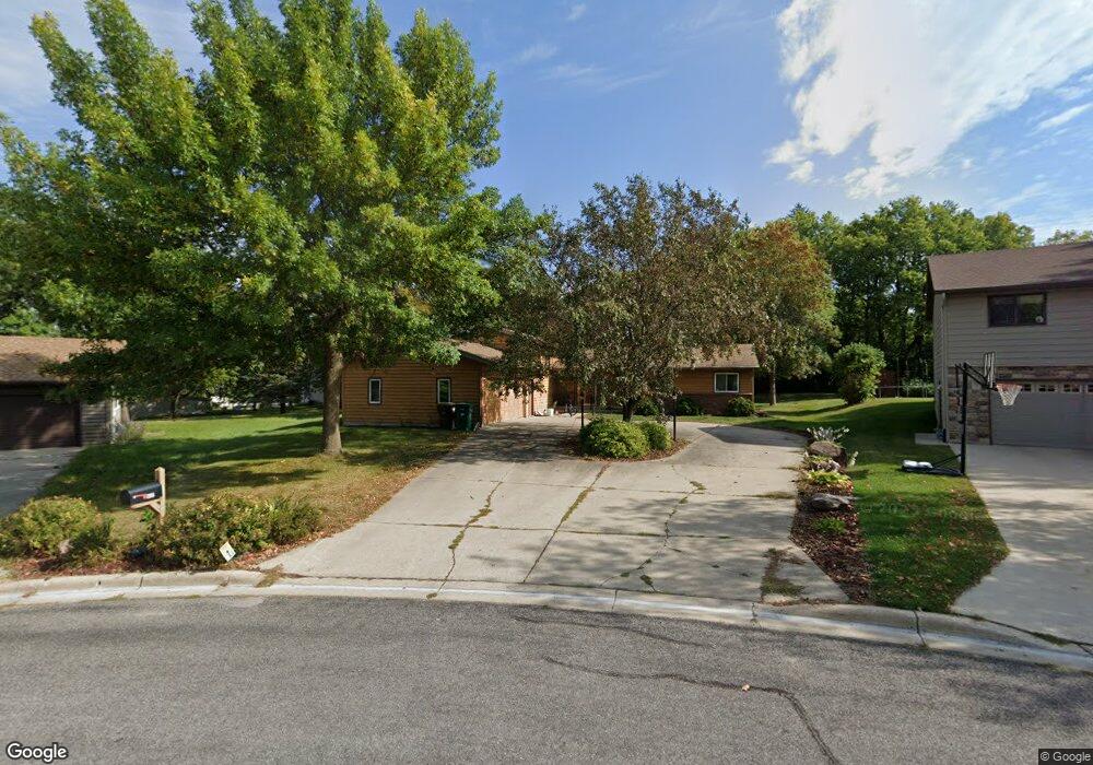
625 Abby Ln Glencoe, MN 55336
Estimated Value: $342,365 - $428,000
4
Beds
3
Baths
1,766
Sq Ft
$219/Sq Ft
Est. Value
About This Home
This home is located at 625 Abby Ln, Glencoe, MN 55336 and is currently estimated at $387,341, approximately $219 per square foot. 625 Abby Ln is a home located in McLeod County with nearby schools including Lincoln Elementary School, Lakeside Elementary School, and Glencoe-Silver Lake Jr. High School.
Ownership History
Date
Name
Owned For
Owner Type
Purchase Details
Closed on
Aug 27, 2013
Sold by
Moe Bruce B and Moe Mary L
Bought by
Perry Tina T and Perry Darren C
Current Estimated Value
Home Financials for this Owner
Home Financials are based on the most recent Mortgage that was taken out on this home.
Original Mortgage
$211,105
Outstanding Balance
$153,664
Interest Rate
4.25%
Mortgage Type
Purchase Money Mortgage
Estimated Equity
$233,677
Create a Home Valuation Report for This Property
The Home Valuation Report is an in-depth analysis detailing your home's value as well as a comparison with similar homes in the area
Home Values in the Area
Average Home Value in this Area
Purchase History
| Date | Buyer | Sale Price | Title Company |
|---|---|---|---|
| Perry Tina T | -- | West Title Llc |
Source: Public Records
Mortgage History
| Date | Status | Borrower | Loan Amount |
|---|---|---|---|
| Open | Perry Tina T | $211,105 |
Source: Public Records
Tax History
| Year | Tax Paid | Tax Assessment Tax Assessment Total Assessment is a certain percentage of the fair market value that is determined by local assessors to be the total taxable value of land and additions on the property. | Land | Improvement |
|---|---|---|---|---|
| 2025 | $4,716 | $376,700 | $73,000 | $303,700 |
| 2024 | $4,552 | $341,300 | $66,800 | $274,500 |
| 2023 | $4,552 | $341,300 | $66,800 | $274,500 |
| 2022 | $4,248 | $301,000 | $60,700 | $240,300 |
| 2021 | $3,856 | $271,600 | $54,900 | $216,700 |
| 2020 | $3,678 | $245,000 | $50,000 | $195,000 |
| 2019 | $3,332 | $229,700 | $45,500 | $184,200 |
| 2018 | $3,058 | $0 | $0 | $0 |
| 2017 | $2,844 | $0 | $0 | $0 |
| 2016 | $2,696 | $0 | $0 | $0 |
| 2015 | $2,428 | $0 | $0 | $0 |
| 2014 | -- | $0 | $0 | $0 |
Source: Public Records
Map
Nearby Homes
- 800 Sumac Ln
- 105 Hennepin Ave N
- 614 Elliott Ave N
- 200 Interwood Dr
- 707 Ford Ave N
- 526 8th St E
- 1015 1st St E
- 1235 1st St E
- 1207 Desoto Ave N
- 1227 11th St E
- 1028 13th St E
- 2600 14th St E
- 1801 Pryor Ave N
- 1606 Greeley Ave N
- 1513 Armstrong Ave N
- 1610 Knight Ave N
- 401 20th St W
- 1412 Elsie Dr N
- 1519 Ranger Dr N
- 1523 Ranger Dr N
Your Personal Tour Guide
Ask me questions while you tour the home.