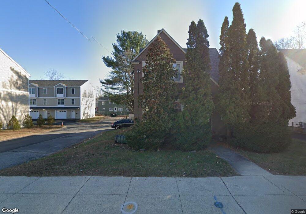
625 Andover St Lawrence, MA 01843
South West NeighborhoodEstimated Value: $567,477 - $791,000
4
Beds
2
Baths
2,472
Sq Ft
$271/Sq Ft
Est. Value
About This Home
This home is located at 625 Andover St, Lawrence, MA 01843 and is currently estimated at $670,119, approximately $271 per square foot. 625 Andover St is a home located in Essex County with nearby schools including John Breen School, School For Exceptional Studies, and Robert Frost Middle School.
Ownership History
Date
Name
Owned For
Owner Type
Purchase Details
Closed on
Dec 20, 2004
Sold by
Bucuzzo Michael Rocco and Bucuzzo Paula Jean
Bought by
Bucuzzo Michael R
Current Estimated Value
Home Financials for this Owner
Home Financials are based on the most recent Mortgage that was taken out on this home.
Original Mortgage
$200,000
Outstanding Balance
$99,827
Interest Rate
5.68%
Mortgage Type
Purchase Money Mortgage
Estimated Equity
$570,292
Purchase Details
Closed on
May 25, 1983
Bought by
Bucuzzo Michael R
Create a Home Valuation Report for This Property
The Home Valuation Report is an in-depth analysis detailing your home's value as well as a comparison with similar homes in the area
Home Values in the Area
Average Home Value in this Area
Purchase History
| Date | Buyer | Sale Price | Title Company |
|---|---|---|---|
| Bucuzzo Michael R | -- | -- | |
| Bucuzzo Michael R | -- | -- |
Source: Public Records
Mortgage History
| Date | Status | Borrower | Loan Amount |
|---|---|---|---|
| Open | Bucuzzo Michael R | $200,000 | |
| Previous Owner | Bucuzzo Michael R | $20,000 |
Source: Public Records
Tax History Compared to Growth
Tax History
| Year | Tax Paid | Tax Assessment Tax Assessment Total Assessment is a certain percentage of the fair market value that is determined by local assessors to be the total taxable value of land and additions on the property. | Land | Improvement |
|---|---|---|---|---|
| 2025 | $4,502 | $511,600 | $138,100 | $373,500 |
| 2024 | $4,677 | $505,600 | $147,200 | $358,400 |
| 2023 | $4,806 | $473,000 | $136,800 | $336,200 |
| 2022 | $4,542 | $397,000 | $124,300 | $272,700 |
| 2021 | $4,479 | $365,000 | $124,300 | $240,700 |
| 2020 | $4,308 | $346,600 | $118,100 | $228,500 |
| 2019 | $4,116 | $300,900 | $98,600 | $202,300 |
| 2018 | $3,808 | $265,900 | $93,600 | $172,300 |
| 2017 | $3,559 | $232,000 | $87,500 | $144,500 |
| 2016 | $3,418 | $220,400 | $72,500 | $147,900 |
| 2015 | $3,351 | $221,600 | $72,500 | $149,100 |
Source: Public Records
Map
Nearby Homes
- 37 Tewksbury St Unit 39
- 8 Packard St
- 4 Bourque St
- 11 Devonshire St
- 20 Beaconsfield St
- 3 Coleman St
- 312 Water St Unit 13
- 18 Ames St
- 493 Andover St Unit 493
- 88 Beacon St Unit 7
- 91-93 Newton St
- 439-443 Riverside Dr
- 0
- 9 Cyr Dr
- 59-61 Chester St
- 5 Marc Ln
- 49 Bowdoin St Unit 51
- 112-116 Hancock St
- 55-59 Water St
- 19 Front St
- 623 Andover St
- 623 Andover St Unit E
- 623 Andover St Unit D
- 623 Andover St Unit F
- 630 Andover St Unit 632
- 630-632 Andover St
- 621 Andover St
- 622 Andover St
- 9 Andover Terrace
- 5 Andover Terrace
- 1 Andover Terrace
- 2 Andover Terrace
- 6 Andover Terrace
- 10 Andover Terrace
- 14 Andover Terrace
- 125 Everett St
- 121 Beacon Ave
- 612 Andover St Unit 614
- 612-614 Andover St
- 123 Everett St