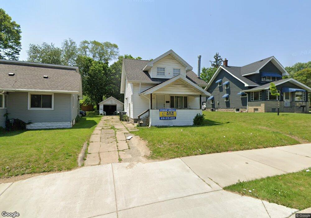
625 Dupont St Flint, MI 48504
Mott Park NeighborhoodEstimated Value: $78,000 - $111,000
5
Beds
3
Baths
1,368
Sq Ft
$72/Sq Ft
Est. Value
About This Home
This home is located at 625 Dupont St, Flint, MI 48504 and is currently estimated at $98,556, approximately $72 per square foot. 625 Dupont St is a home located in Genesee County with nearby schools including Durant-Tuuri-Mott Elementary School, St John Vianney Catholic School, and St. Paul Lutheran School.
Ownership History
Date
Name
Owned For
Owner Type
Purchase Details
Closed on
Jun 10, 2020
Sold by
Mcmunigal Ryan Daniel
Bought by
625 Dupont Llc
Current Estimated Value
Purchase Details
Closed on
Sep 18, 2017
Sold by
Myers Joshua
Bought by
Mcmunigal Ryan Daniel
Purchase Details
Closed on
Dec 29, 2003
Sold by
Dice Jeffery P
Bought by
Trilli Bryan and Magenheim Morganti Nicholas
Purchase Details
Closed on
Jan 3, 2000
Sold by
Selesan Selesan G and Selesan G
Bought by
Dice Jeffery P
Create a Home Valuation Report for This Property
The Home Valuation Report is an in-depth analysis detailing your home's value as well as a comparison with similar homes in the area
Home Values in the Area
Average Home Value in this Area
Purchase History
| Date | Buyer | Sale Price | Title Company |
|---|---|---|---|
| 625 Dupont Llc | -- | Liberty Title | |
| Mcmunigal Ryan Daniel | $54,000 | Abstract Title Agency | |
| Trilli Bryan | $79,000 | Metropolitan Title Company | |
| Dice Jeffery P | $70,000 | Sargents Title Company |
Source: Public Records
Tax History Compared to Growth
Tax History
| Year | Tax Paid | Tax Assessment Tax Assessment Total Assessment is a certain percentage of the fair market value that is determined by local assessors to be the total taxable value of land and additions on the property. | Land | Improvement |
|---|---|---|---|---|
| 2025 | $2,133 | $41,800 | $0 | $0 |
| 2024 | $1,953 | $43,600 | $0 | $0 |
| 2023 | $1,891 | $29,800 | $0 | $0 |
| 2022 | $0 | $23,700 | $0 | $0 |
| 2021 | $1,976 | $23,600 | $0 | $0 |
| 2020 | $1,369 | $23,200 | $0 | $0 |
| 2019 | $1,330 | $16,500 | $0 | $0 |
| 2018 | $1,359 | $16,300 | $0 | $0 |
| 2017 | $1,158 | $0 | $0 | $0 |
| 2016 | $1,158 | $0 | $0 | $0 |
| 2015 | -- | $0 | $0 | $0 |
| 2014 | -- | $0 | $0 | $0 |
| 2012 | -- | $18,500 | $0 | $0 |
Source: Public Records
Map
Nearby Homes
- 2008 University Ave
- 709 Cadillac St
- 2332 Nolen Dr
- 849 Frank St
- 820 N Chevrolet Ave
- 913 Perry St
- 448 Dougherty Place
- 1016 Dupont St
- 2329 Joliet St
- 1017 Perry St
- 1926 W Court St
- 612 Bradley Ave
- 3119 Sherwood Dr
- 2437 Zimmerman St
- 2448 Thomas St
- 227 W 5th Ave Unit 3
- 2464 Gibson St
- 2663 W Court St
- 2124 Swayze St
- 1813 Stevenson St
- 621 Dupont St
- 629 Dupont St
- 1911 Cartier St
- 617 Dupont St
- 628 Saint Clair Ave
- 632 Saint Clair Ave
- 624 Saint Clair Ave
- 1915 Cartier St
- 613 Dupont St
- 702 Saint Clair Ave
- 632 St Clair
- 1919 Cartier St
- 708 Saint Clair Ave
- 620 Saint Clair Ave
- 1902 Cartier St
- 1902 University Ave
- 1902 W 3rd Ave
- 1908 University Ave
- 1912 Cartier St
- 1912 University Ave