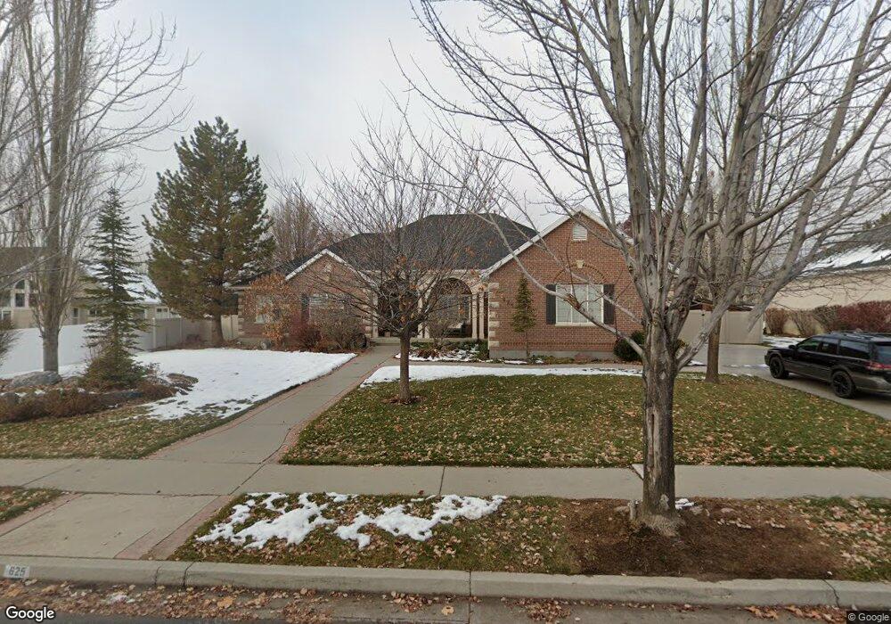
625 E 100 N Unit 34 Alpine, UT 84004
Estimated Value: $1,011,000 - $1,169,212
3
Beds
3
Baths
2,463
Sq Ft
$442/Sq Ft
Est. Value
About This Home
This home is located at 625 E 100 N Unit 34, Alpine, UT 84004 and is currently estimated at $1,087,803, approximately $441 per square foot. 625 E 100 N Unit 34 is a home located in Utah County with nearby schools including Alpine School, Timberline Middle School, and Lone Peak High School.
Ownership History
Date
Name
Owned For
Owner Type
Purchase Details
Closed on
Apr 22, 1999
Sold by
Broadbent Carol S
Bought by
Christensen Brad P and Christensen Kimberly M
Current Estimated Value
Home Financials for this Owner
Home Financials are based on the most recent Mortgage that was taken out on this home.
Original Mortgage
$240,000
Interest Rate
7.1%
Purchase Details
Closed on
Feb 10, 1998
Sold by
Broadbent Carol S
Bought by
Broadbent Carol S
Home Financials for this Owner
Home Financials are based on the most recent Mortgage that was taken out on this home.
Original Mortgage
$51,100
Interest Rate
6.98%
Purchase Details
Closed on
Apr 14, 1997
Sold by
C K Development Inc
Bought by
Broadbent Carol S
Create a Home Valuation Report for This Property
The Home Valuation Report is an in-depth analysis detailing your home's value as well as a comparison with similar homes in the area
Home Values in the Area
Average Home Value in this Area
Purchase History
| Date | Buyer | Sale Price | Title Company |
|---|---|---|---|
| Christensen Brad P | -- | Access Title Company | |
| Christensen Brad P | -- | -- | |
| Broadbent Carol S | -- | -- | |
| Broadbent Carol S | -- | -- | |
| C K Development Inc | -- | First American Title | |
| Royal Associates L C | -- | -- |
Source: Public Records
Mortgage History
| Date | Status | Borrower | Loan Amount |
|---|---|---|---|
| Previous Owner | Christensen Brad P | $240,000 | |
| Previous Owner | Broadbent Carol S | $51,100 |
Source: Public Records
Tax History
| Year | Tax Paid | Tax Assessment Tax Assessment Total Assessment is a certain percentage of the fair market value that is determined by local assessors to be the total taxable value of land and additions on the property. | Land | Improvement |
|---|---|---|---|---|
| 2025 | $4,029 | $490,490 | -- | -- |
| 2024 | $4,029 | $469,535 | $0 | $0 |
| 2023 | $3,830 | $479,215 | $0 | $0 |
| 2022 | $3,932 | $477,840 | $0 | $0 |
| 2021 | $3,506 | $661,800 | $274,500 | $387,300 |
| 2020 | $3,406 | $629,200 | $249,500 | $379,700 |
| 2019 | $3,006 | $579,700 | $249,500 | $330,200 |
| 2018 | $2,897 | $552,000 | $221,800 | $330,200 |
| 2017 | $2,760 | $279,895 | $0 | $0 |
| 2016 | $2,813 | $265,925 | $0 | $0 |
| 2015 | $2,754 | $246,290 | $0 | $0 |
| 2014 | -- | $235,400 | $0 | $0 |
Source: Public Records
Map
Nearby Homes
- 499 E 300 N
- 887 E Village Way
- 202 E Alpine Dr
- 1103 E Lone Peak Dr
- 1063 E Alpine Dr
- 475 Grove Dr
- 48 N 100 E
- 1201 E Preston Dr
- 30 S Main St
- 512 Eastridge Cir
- 76 N Bald Mountain Dr
- 1296 Oakwood Cir
- 151 Glacier Lily Dr
- 250 S Main St Unit 25
- 250 S Main St Unit 9
- 250 S Main St Unit 7
- 781 N Country Manor Ln
- 196 Holly Dr
- 248 Deerfield Dr
- 596 S Cascade Ct
Your Personal Tour Guide
Ask me questions while you tour the home.