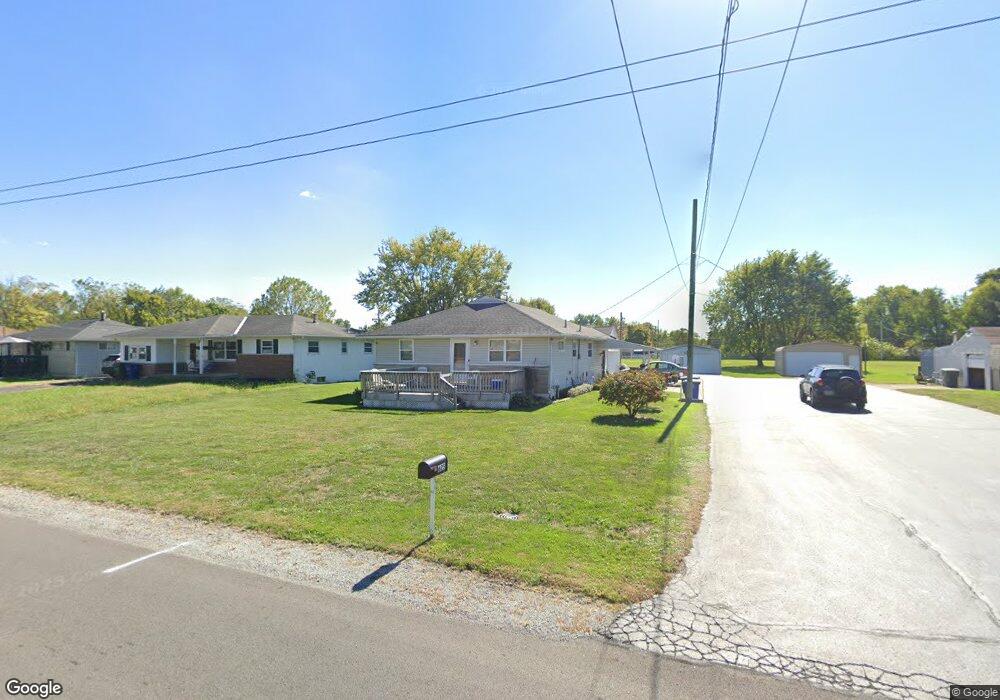
625 Hilock Rd Columbus, OH 43207
Obetz-Lockbourne NeighborhoodEstimated Value: $188,000 - $228,000
2
Beds
1
Bath
1,140
Sq Ft
$183/Sq Ft
Est. Value
About This Home
This home is located at 625 Hilock Rd, Columbus, OH 43207 and is currently estimated at $208,946, approximately $183 per square foot. 625 Hilock Rd is a home located in Franklin County with nearby schools including Parsons Elementary School, Buckeye Middle School, and Marion-Franklin High School.
Ownership History
Date
Name
Owned For
Owner Type
Purchase Details
Closed on
Sep 21, 1994
Sold by
Mabel Jane Deighton Trst
Bought by
Perkins Joey L and Perkins Sherry L
Current Estimated Value
Home Financials for this Owner
Home Financials are based on the most recent Mortgage that was taken out on this home.
Original Mortgage
$32,500
Interest Rate
8.62%
Mortgage Type
New Conventional
Purchase Details
Closed on
Oct 6, 1992
Create a Home Valuation Report for This Property
The Home Valuation Report is an in-depth analysis detailing your home's value as well as a comparison with similar homes in the area
Home Values in the Area
Average Home Value in this Area
Purchase History
| Date | Buyer | Sale Price | Title Company |
|---|---|---|---|
| Perkins Joey L | $52,500 | -- | |
| -- | -- | -- |
Source: Public Records
Mortgage History
| Date | Status | Borrower | Loan Amount |
|---|---|---|---|
| Closed | Perkins Joey L | $32,500 |
Source: Public Records
Tax History Compared to Growth
Tax History
| Year | Tax Paid | Tax Assessment Tax Assessment Total Assessment is a certain percentage of the fair market value that is determined by local assessors to be the total taxable value of land and additions on the property. | Land | Improvement |
|---|---|---|---|---|
| 2024 | $3,311 | $73,780 | $22,610 | $51,170 |
| 2023 | $3,269 | $73,780 | $22,610 | $51,170 |
| 2022 | $2,398 | $46,240 | $17,260 | $28,980 |
| 2021 | $2,403 | $46,240 | $17,260 | $28,980 |
| 2020 | $2,406 | $46,240 | $17,260 | $28,980 |
| 2019 | $2,419 | $39,870 | $14,980 | $24,890 |
| 2018 | $2,664 | $39,870 | $14,980 | $24,890 |
| 2017 | $2,752 | $39,870 | $14,980 | $24,890 |
| 2016 | $2,484 | $28,390 | $4,130 | $24,260 |
| 2015 | $2,310 | $28,390 | $4,130 | $24,260 |
| 2014 | $1,711 | $28,390 | $4,130 | $24,260 |
| 2013 | $1,189 | $29,855 | $4,340 | $25,515 |
Source: Public Records
Map
Nearby Homes
- 1633-1635 E Greenway Ave
- 3302 Hilock Place
- 860 Basswood Rd
- 3161 Lewis Rd
- 884 Bruckner Rd
- 696 Williams Rd
- 3380 Parsons Ave
- 0 Williams Rd
- 3414 Parsons Ave
- 1138 Hilock Rd
- 1138 Hilock Rd Unit 35
- 1124 Rumsey Rd
- 256 Rumsey Rd Unit 258
- 228 Currier Dr
- 3573 S Champion Ave
- 2901 Parsons Ave
- 1085 Williams Rd
- 202 Williams Rd
- 3691 Abney Rd
- 525 Ashwood Rd