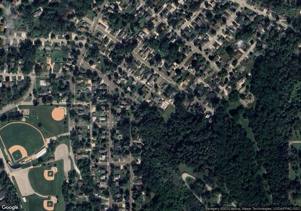
625 Locust St Red Wing, MN 55066
Estimated Value: $212,000 - $277,000
2
Beds
2
Baths
896
Sq Ft
$263/Sq Ft
Est. Value
About This Home
This home is located at 625 Locust St, Red Wing, MN 55066 and is currently estimated at $235,475, approximately $262 per square foot. 625 Locust St is a home located in Goodhue County with nearby schools including Sunnyside Elementary School, Burnside Elementary School, and Twin Bluff Middle School.
Ownership History
Date
Name
Owned For
Owner Type
Purchase Details
Closed on
Mar 15, 2023
Sold by
Reglin Kerry and Reglin Jolynn
Bought by
Peterson Thate
Current Estimated Value
Home Financials for this Owner
Home Financials are based on the most recent Mortgage that was taken out on this home.
Original Mortgage
$154,400
Outstanding Balance
$149,165
Interest Rate
6.09%
Mortgage Type
New Conventional
Estimated Equity
$86,310
Purchase Details
Closed on
Jul 8, 2010
Sold by
Federal National Mortgage Association
Bought by
Reglin Kerry
Purchase Details
Closed on
Aug 9, 2005
Sold by
Holland David P and Holland Connie M
Bought by
Waleski Trapper J
Purchase Details
Closed on
Sep 21, 2000
Sold by
Commercial Federal
Bought by
Holland David P and Holland Connie M
Create a Home Valuation Report for This Property
The Home Valuation Report is an in-depth analysis detailing your home's value as well as a comparison with similar homes in the area
Home Values in the Area
Average Home Value in this Area
Purchase History
| Date | Buyer | Sale Price | Title Company |
|---|---|---|---|
| Peterson Thate | $193,000 | -- | |
| Reglin Kerry | $40,000 | -- | |
| Reglin Kerry | $40,000 | -- | |
| Waleski Trapper J | $103,500 | -- | |
| Holland David P | $69,900 | -- |
Source: Public Records
Mortgage History
| Date | Status | Borrower | Loan Amount |
|---|---|---|---|
| Open | Peterson Thate | $154,400 |
Source: Public Records
Tax History Compared to Growth
Tax History
| Year | Tax Paid | Tax Assessment Tax Assessment Total Assessment is a certain percentage of the fair market value that is determined by local assessors to be the total taxable value of land and additions on the property. | Land | Improvement |
|---|---|---|---|---|
| 2025 | $2,072 | $182,200 | $39,500 | $142,700 |
| 2024 | $2,072 | $179,400 | $39,500 | $139,900 |
| 2023 | $2,116 | $170,000 | $39,500 | $130,500 |
| 2022 | $1,872 | $169,000 | $39,500 | $129,500 |
| 2021 | $1,746 | $145,600 | $39,500 | $106,100 |
| 2020 | $1,602 | $138,800 | $39,500 | $99,300 |
| 2019 | $1,604 | $122,700 | $39,500 | $83,200 |
| 2018 | $1,270 | $124,000 | $37,900 | $86,100 |
| 2017 | $1,238 | $110,300 | $37,900 | $72,400 |
| 2016 | $1,134 | $109,200 | $37,900 | $71,300 |
| 2015 | $1,086 | $106,000 | $37,900 | $68,100 |
| 2014 | -- | $102,100 | $37,900 | $64,200 |
Source: Public Records
Map
Nearby Homes
- 1416 Phelps St
- 516 Norwood St
- 1218 East Ave
- 466 14th St
- 1109 East Ave
- 1524 Bush St
- 1218 Central Ave
- 1547 Bush St
- 642 Grace St
- 924 Central Ave
- 528 20th St
- 759 Plum St
- 716 Central Ave
- 802 West Ave
- 1012 West Ave
- XXXX Skyline Heights
- 747 21st St
- 523 East Ave Unit 211
- 523 East Ave Unit 213
- 604 Cherrywood Ct
- 617 Locust St
- 1319 Greenwood St
- 1323 Sylvan St
- 618 Locust St
- 605 Locust St
- 1330 Phelps St
- 1420 Phelps St
- 1405 Greenwood St
- 1314 Sylvan St
- 1315 Sylvan St
- 1328 Phelps St
- 1325 Norwood St
- 1331 Norwood St
- 1318 Phelps St
- 1311 Norwood St
- 1417 Greenwood St
- 625 Norwood St
- 617 Norwood St
- 1401 Norwood St
- 1504 Phelps St
