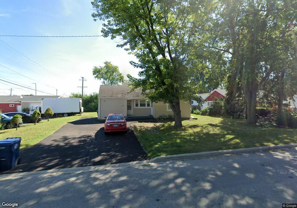
625 N Frolic Ave Waukegan, IL 60085
West Waukegan NeighborhoodEstimated Value: $143,000 - $269,000
3
Beds
1
Bath
998
Sq Ft
$194/Sq Ft
Est. Value
About This Home
This home is located at 625 N Frolic Ave, Waukegan, IL 60085 and is currently estimated at $193,442, approximately $193 per square foot. 625 N Frolic Ave is a home located in Lake County with nearby schools including Whittier Elementary School, Robert E. Abbott Middle School, and Waukegan High School.
Ownership History
Date
Name
Owned For
Owner Type
Purchase Details
Closed on
Nov 29, 2021
Sold by
Ciesla Laura L
Bought by
Mshaiel Naser and Mshaiel Helwah
Current Estimated Value
Purchase Details
Closed on
Aug 29, 2005
Sold by
Leslie John E and Leslie Keith A
Bought by
Leslie John E and Leslie Keith A
Purchase Details
Closed on
Aug 12, 2005
Sold by
Leslie Edmond E and Leslie Vivian M
Bought by
Leslie John E and Leslie Keith A
Create a Home Valuation Report for This Property
The Home Valuation Report is an in-depth analysis detailing your home's value as well as a comparison with similar homes in the area
Home Values in the Area
Average Home Value in this Area
Purchase History
| Date | Buyer | Sale Price | Title Company |
|---|---|---|---|
| Mshaiel Naser | $100,000 | Fidelity National Title | |
| Leslie John E | -- | -- | |
| Leslie John E | -- | -- |
Source: Public Records
Tax History Compared to Growth
Tax History
| Year | Tax Paid | Tax Assessment Tax Assessment Total Assessment is a certain percentage of the fair market value that is determined by local assessors to be the total taxable value of land and additions on the property. | Land | Improvement |
|---|---|---|---|---|
| 2024 | $4,090 | $48,451 | $16,141 | $32,310 |
| 2023 | $4,100 | $43,378 | $14,451 | $28,927 |
| 2022 | $4,100 | $41,936 | $14,442 | $27,494 |
| 2021 | $2,592 | $35,863 | $12,339 | $23,524 |
| 2020 | $2,540 | $33,410 | $11,495 | $21,915 |
| 2019 | $2,460 | $30,615 | $10,533 | $20,082 |
| 2018 | $2,527 | $31,246 | $13,552 | $17,694 |
| 2017 | $2,368 | $27,644 | $11,990 | $15,654 |
| 2016 | $2,012 | $24,022 | $10,419 | $13,603 |
| 2015 | $1,774 | $21,500 | $9,325 | $12,175 |
| 2014 | $2,092 | $22,519 | $10,320 | $12,199 |
| 2012 | $3,153 | $24,398 | $11,182 | $13,216 |
Source: Public Records
Map
Nearby Homes
- 621 N Austin Ave
- 34887 N Austin Ave
- 603 N Austin Ave
- 12698 W Grandview Ave
- 12716 W Grandview Ave
- 0 Brookside Ave
- 3210 W Grandview Ave
- 102 Baldwin Ave
- 3170 W Monroe St Unit 309
- 615 Tiffany Dr
- 24 Washington Terrace
- 525 Lawrence Ave
- 2813 Theresa Ave
- 2115 Lydia St
- 3482 Ellis Ave
- 35400 N Green Bay Rd
- 1213 Grand Ave
- 3409 Glen Flora Ave
- 2810 W Atlantic Ave
- 963 Belle Plaine Ave
- 619 N Frolic Ave
- 615 N Frolic Ave
- 622 Baldwin Ave
- 620 Baldwin Ave
- 2906 Florence Ave
- 616 Baldwin Ave
- 613 N Frolic Ave
- 612 Baldwin Ave
- 609 N Frolic Ave
- 610 N Frolic Ave
- 2910 Florence Ave
- 608 Baldwin Ave
- 2905 Florence Ave
- 2911 Grand Ave
- 2817 Grand Ave
- 605 N Frolic Ave
- 621 Baldwin Ave
- 2912 Florence Ave
- 617 Baldwin Ave
- 604 Baldwin Ave