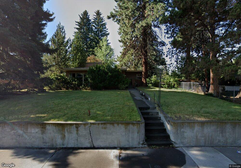
625 NE Franklin Ave Bend, OR 97701
Orchard District NeighborhoodEstimated Value: $679,000 - $827,000
3
Beds
2
Baths
2,520
Sq Ft
$295/Sq Ft
Est. Value
About This Home
This home is located at 625 NE Franklin Ave, Bend, OR 97701 and is currently estimated at $743,390, approximately $294 per square foot. 625 NE Franklin Ave is a home located in Deschutes County with nearby schools including Juniper Elementary School, Bend Senior High School, and The Waldorf School of Bend.
Ownership History
Date
Name
Owned For
Owner Type
Purchase Details
Closed on
Nov 1, 2024
Sold by
Tompos Family Trust and Tompos Donald W
Bought by
Tompos2 Llc
Current Estimated Value
Purchase Details
Closed on
Jan 14, 2022
Sold by
Tompos Donald W and Tompos Teresa W
Bought by
Tompos Donald W and Tompos Teresa W
Create a Home Valuation Report for This Property
The Home Valuation Report is an in-depth analysis detailing your home's value as well as a comparison with similar homes in the area
Home Values in the Area
Average Home Value in this Area
Purchase History
| Date | Buyer | Sale Price | Title Company |
|---|---|---|---|
| Tompos2 Llc | -- | None Listed On Document | |
| Tompos Donald W | -- | None Available |
Source: Public Records
Tax History Compared to Growth
Tax History
| Year | Tax Paid | Tax Assessment Tax Assessment Total Assessment is a certain percentage of the fair market value that is determined by local assessors to be the total taxable value of land and additions on the property. | Land | Improvement |
|---|---|---|---|---|
| 2025 | $4,209 | $249,100 | -- | -- |
| 2024 | $4,049 | $241,850 | -- | -- |
| 2023 | $3,754 | $234,810 | $0 | $0 |
| 2022 | $3,502 | $221,340 | $0 | $0 |
| 2021 | $3,508 | $214,900 | $0 | $0 |
| 2020 | $3,328 | $214,900 | $0 | $0 |
| 2019 | $3,235 | $208,650 | $0 | $0 |
| 2018 | $3,144 | $202,580 | $0 | $0 |
| 2017 | $3,052 | $196,680 | $0 | $0 |
| 2016 | $2,910 | $190,960 | $0 | $0 |
| 2015 | $2,830 | $185,400 | $0 | $0 |
| 2014 | $2,746 | $180,000 | $0 | $0 |
Source: Public Records
Map
Nearby Homes
- 438 NE 9th St
- 845 NE 8th St
- 429 NE Irving Ave
- 608 NE 10th St
- 649 NE Kearney Ave
- 643 NE Marshall Ave
- 645 NE Marshall Ave
- 322 SE 5th St
- 828 NW Hill St
- 1401 NE 10th St
- 717 NE Olney Ct
- 111 NW Hawthorne Ave Unit 1
- 970 NE Norton Ave Unit Lot 7
- 114 NW Delaware Ave
- 106 NW Colorado Ave
- 468 NE Olney Ave
- 3843 NE Petrosa Ave
- 1532 NE 9th St
- 314 NW Georgia Ave
- 688 SE Centennial St
- 605 NE Franklin Ave
- 534 NE 6th St
- 643 NE Franklin Ave
- 624 NE Franklin Ave Unit 1
- 624 NE Franklin Ave
- 616 NE Franklin Ave
- 520 NE 6th St
- 604 NE Franklin Ave
- 659 NE Franklin Ave
- 642 NE Franklin Ave
- 571 NE Franklin Ave
- 626 NE Emerson Ave
- 539 NE 6th St
- 642 NE Emerson Ave
- 566 NE Franklin Ave
- 658 NE Franklin Ave
- 673 NE Franklin Ave
- 523 NE 6th St
- 610 NE Emerson Ave
- 559 NE Franklin Ave