Estimated Value: $176,000 - $218,433
2
Beds
2
Baths
1,528
Sq Ft
$128/Sq Ft
Est. Value
About This Home
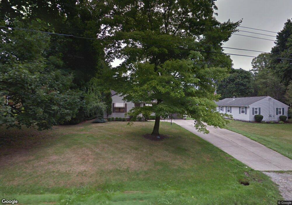
This home is located at 625 Roosevelt St, Kent, OH 44240 and is currently estimated at $195,608, approximately $128 per square foot. 625 Roosevelt St is a home located in Portage County with nearby schools including Longcoy Elementary School, Stanton Middle School, and Theodore Roosevelt High School.
Ownership History
Date
Name
Owned For
Owner Type
Purchase Details
Closed on
Apr 25, 2025
Sold by
Hoang Chuong Ngoc and Pham Huy Thanh
Bought by
Nguyen Thi Hoai Linh
Current Estimated Value
Purchase Details
Closed on
May 15, 2019
Sold by
Pennymac Loan Services Llc
Bought by
Hoang Chuong Ngoc and Pham Huy Thanh
Purchase Details
Closed on
Mar 15, 2019
Sold by
Scherer Carolyn L and Scherer Carolyn Lou
Bought by
Pennymac Loan Services Llc
Purchase Details
Closed on
Jul 6, 1992
Bought by
Scherer Donald C
Create a Home Valuation Report for This Property
The Home Valuation Report is an in-depth analysis detailing your home's value as well as a comparison with similar homes in the area
Home Values in the Area
Average Home Value in this Area
Purchase History
| Date | Buyer | Sale Price | Title Company |
|---|---|---|---|
| Nguyen Thi Hoai Linh | $175,000 | Bennett Land Title | |
| Hoang Chuong Ngoc | $101,000 | Sojourners Title Agency | |
| Pennymac Loan Services Llc | $86,667 | Sojourners Title Agency | |
| Scherer Donald C | -- | -- |
Source: Public Records
Tax History Compared to Growth
Tax History
| Year | Tax Paid | Tax Assessment Tax Assessment Total Assessment is a certain percentage of the fair market value that is determined by local assessors to be the total taxable value of land and additions on the property. | Land | Improvement |
|---|---|---|---|---|
| 2024 | $3,207 | $69,730 | $11,030 | $58,700 |
| 2023 | $3,167 | $55,870 | $11,030 | $44,840 |
| 2022 | $3,199 | $55,870 | $11,030 | $44,840 |
| 2021 | $3,171 | $55,870 | $11,030 | $44,840 |
| 2020 | $2,950 | $46,350 | $11,030 | $35,320 |
| 2019 | $2,329 | $46,350 | $11,030 | $35,320 |
| 2018 | $2,123 | $40,460 | $12,250 | $28,210 |
| 2017 | $2,123 | $40,460 | $12,250 | $28,210 |
| 2016 | $2,118 | $40,460 | $12,250 | $28,210 |
| 2015 | $2,118 | $40,460 | $12,250 | $28,210 |
| 2014 | $2,154 | $40,460 | $12,250 | $28,210 |
| 2013 | $2,138 | $40,460 | $12,250 | $28,210 |
Source: Public Records
Map
Nearby Homes
- 1181 Norwood St
- 430 W Elm St
- 1265 W Main St
- 346 Harris St
- 328 Dodge St
- 600 Silver Meadows Blvd
- 1204 Franklin Ave
- 715 Franklin Ave
- 146 W Elm St
- 3127 Deercrest Path
- 115 S Mantua St
- 634 S Water St
- 4363 Ohio 43
- 646 S Depeyster St
- 218 E Oak St
- 529 Rockwell St
- 218 E School St
- 2973 Mourning Dove Cir
- 334 N Mantua St
- 978 Silver Meadows Blvd
- 619 Roosevelt St
- 1035 Jessie Ave
- 611 Roosevelt St
- 1031 Jessie Ave
- 630 Roosevelt St
- 616 Roosevelt St
- 1053 Jessie Ave
- 1036 Jessie Ave
- 1023 Jessie Ave
- 1038 Elno Ave
- 1040 Elno Ave
- 608 Roosevelt St
- 1030 Jessie Ave
- 1028 Jessie Ave
- 1050 Jessie Ave
- 1063 Jessie Ave
- 655 Roosevelt St
- 1026 Elno Ave
- 1024 Jessie Ave
- 650 Roosevelt St