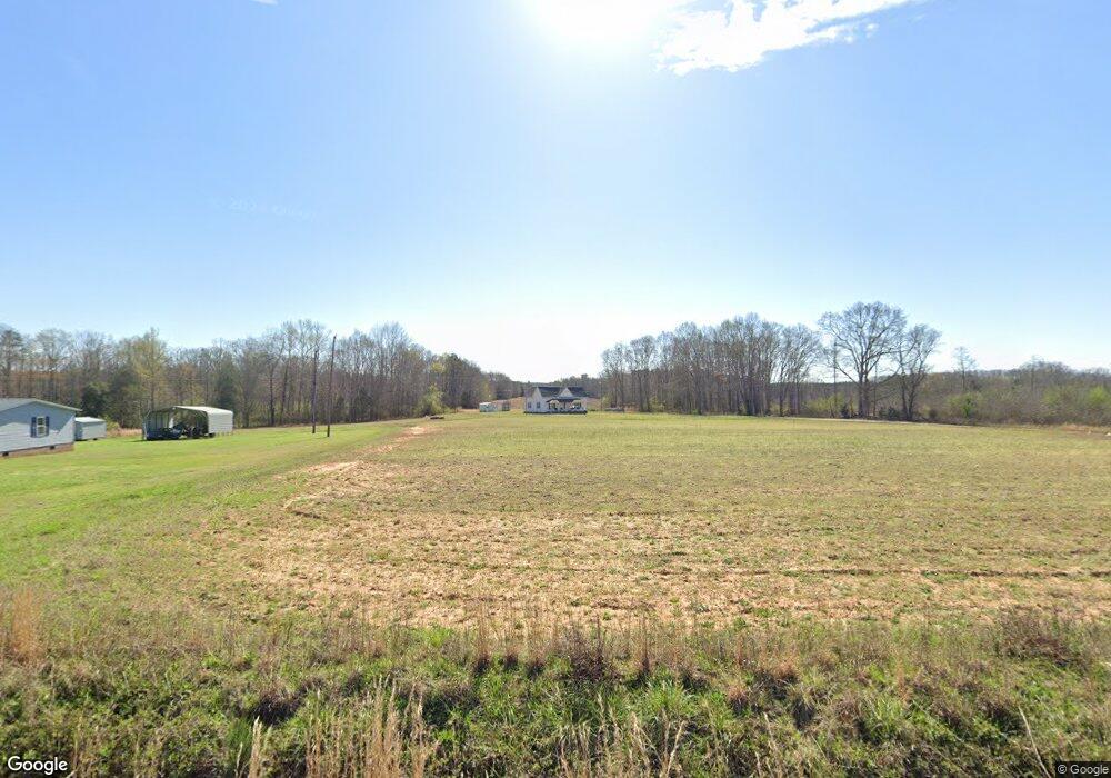
625 Roosevelt Thompson Rd Anderson, SC 29621
Estimated Value: $256,000 - $335,000
--
Bed
--
Bath
1,498
Sq Ft
$191/Sq Ft
Est. Value
About This Home
This home is located at 625 Roosevelt Thompson Rd, Anderson, SC 29621 and is currently estimated at $286,333, approximately $191 per square foot. 625 Roosevelt Thompson Rd is a home with nearby schools including Belton Honea Path High School.
Ownership History
Date
Name
Owned For
Owner Type
Purchase Details
Closed on
Dec 13, 2019
Sold by
Carter Dorothy T
Bought by
Thompson Manford J
Current Estimated Value
Purchase Details
Closed on
Jan 17, 2019
Sold by
Thompson Amanda and Thompson Dee
Bought by
Thompson Manford J
Purchase Details
Closed on
Sep 8, 2018
Sold by
Carter Christopher
Bought by
Carter Dorothy T
Purchase Details
Closed on
Sep 7, 2018
Sold by
Glover Elrica Caeter
Bought by
Carter Dorothy T
Purchase Details
Closed on
Aug 20, 2018
Sold by
Thompson Delphine
Bought by
Carter Dorothy T
Create a Home Valuation Report for This Property
The Home Valuation Report is an in-depth analysis detailing your home's value as well as a comparison with similar homes in the area
Home Values in the Area
Average Home Value in this Area
Purchase History
| Date | Buyer | Sale Price | Title Company |
|---|---|---|---|
| Thompson Manford J | $18,000 | None Available | |
| Thompson Manford J | -- | None Available | |
| Carter Dorothy T | $6,500 | None Available | |
| Carter Dorothy T | $6,500 | None Available | |
| Carter Dorothy T | $6,500 | None Available | |
| Carter Dorothy T | $6,500 | None Available | |
| Thompson Manford J | -- | None Available |
Source: Public Records
Tax History Compared to Growth
Tax History
| Year | Tax Paid | Tax Assessment Tax Assessment Total Assessment is a certain percentage of the fair market value that is determined by local assessors to be the total taxable value of land and additions on the property. | Land | Improvement |
|---|---|---|---|---|
| 2024 | $873 | $2,200 | $380 | $1,820 |
| 2023 | $873 | $2,200 | $380 | $1,820 |
| 2022 | $821 | $2,200 | $380 | $1,820 |
| 2021 | $817 | $2,120 | $310 | $1,810 |
| 2020 | $806 | $2,120 | $310 | $1,810 |
| 2019 | $1,893 | $5,250 | $3,440 | $1,810 |
| 2018 | $1,905 | $5,250 | $3,440 | $1,810 |
| 2017 | -- | $1,450 | $250 | $1,200 |
| 2016 | $40 | $1,570 | $220 | $1,350 |
| 2015 | $40 | $1,570 | $220 | $1,350 |
| 2014 | $40 | $1,570 | $220 | $1,350 |
Source: Public Records
Map
Nearby Homes
- 0 Roosevelt Thompson Rd
- 151 Hannah Cir
- 1332 Honey Creek Rd
- 117 Long Needle Way
- 114 Beech Ln
- 517 Mayfield School Rd
- 217 Long Branch Rd
- 7 Long Branch Rd
- 1104 Henry Thomas Rd
- 104 Hart Rd
- 113 P-14-64
- 228 Boseman Rd
- 1418 Grove Rd
- 2604 Broadway Lake Rd
- 1104B Henry Thomas Rd
- 203 Branford St
- 203 Branford St Unit SUN0130
- 195 Treasure Ln
- 00 Robertson Rd
- 1411 Trail Rd
- 619 Roosevelt Thompson Rd
- 612 Roosevelt Thompson Rd
- 911 Tillotson Rd
- 816 Tillotson Rd
- 515 Howard McGee Rd
- 514 Howard McGee Rd
- 801 Tillotson Rd
- 1010 Tillotson Rd
- 575 Roosevelt Thompson Rd
- 1011 Tillotson Rd
- 510 Howard McGee Rd
- 780 Tillotson Rd
- 508 Howard McGee Rd
- Lot D13 Tillotson Rd
- 714 Tillotson Rd
- 411 Roosevelt Thompson Rd
- 501 Howard McGee Rd
- 700 Tillotson Rd
- 407 Roosevelt Thompson Rd
- 00 Roosevelt Thompson