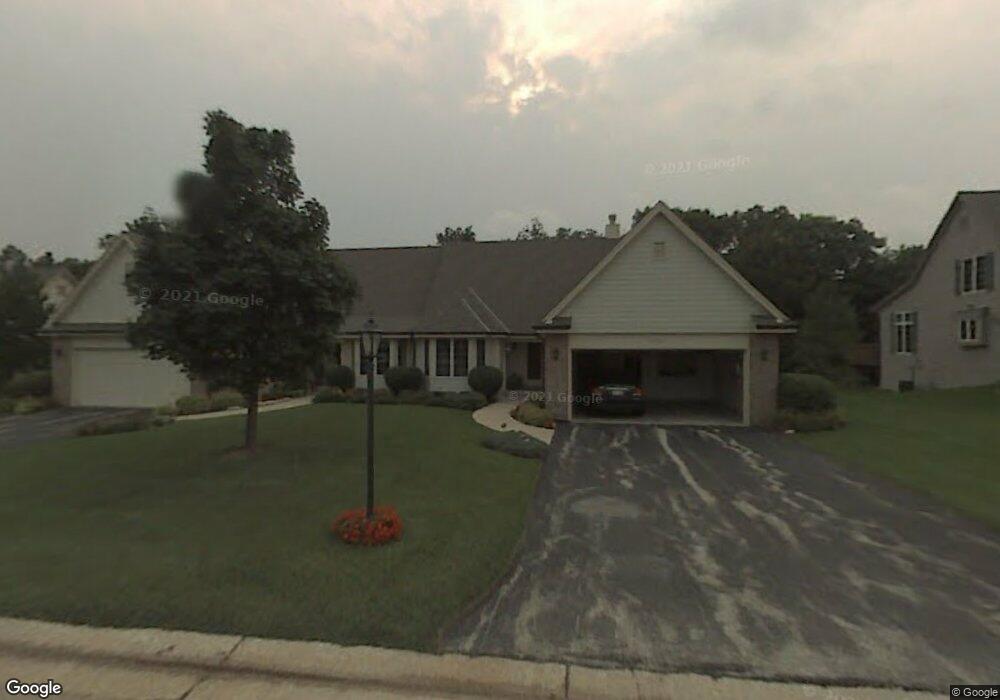
625 S Stonehedge Dr Unit A Brookfield, WI 53045
Estimated Value: $445,000 - $491,000
2
Beds
3
Baths
1,775
Sq Ft
$261/Sq Ft
Est. Value
About This Home
This home is located at 625 S Stonehedge Dr Unit A, Brookfield, WI 53045 and is currently estimated at $463,044, approximately $260 per square foot. 625 S Stonehedge Dr Unit A is a home located in Waukesha County with nearby schools including Hillcrest Elementary School, Horning Middle School, and South High School.
Ownership History
Date
Name
Owned For
Owner Type
Purchase Details
Closed on
Oct 5, 2023
Sold by
Whitney Jeanne
Bought by
Jeanne V Sawicki Revocable Trust
Current Estimated Value
Purchase Details
Closed on
May 28, 2015
Sold by
Fiduciary Partners Inc
Bought by
Whitney Jeanne
Purchase Details
Closed on
Feb 5, 2002
Sold by
Whitney Earl C
Bought by
Whitney Earl C and The Earl C Whitney Trust
Create a Home Valuation Report for This Property
The Home Valuation Report is an in-depth analysis detailing your home's value as well as a comparison with similar homes in the area
Home Values in the Area
Average Home Value in this Area
Purchase History
| Date | Buyer | Sale Price | Title Company |
|---|---|---|---|
| Jeanne V Sawicki Revocable Trust | -- | None Listed On Document | |
| Whitney Jeanne | -- | None Available | |
| Whitney Earl C | -- | -- |
Source: Public Records
Tax History Compared to Growth
Tax History
| Year | Tax Paid | Tax Assessment Tax Assessment Total Assessment is a certain percentage of the fair market value that is determined by local assessors to be the total taxable value of land and additions on the property. | Land | Improvement |
|---|---|---|---|---|
| 2024 | $4,406 | $443,000 | $100,000 | $343,000 |
| 2023 | $4,400 | $443,000 | $100,000 | $343,000 |
| 2022 | $4,363 | $326,900 | $90,000 | $236,900 |
| 2021 | $4,413 | $326,900 | $90,000 | $236,900 |
| 2020 | $4,534 | $326,900 | $90,000 | $236,900 |
| 2019 | $4,452 | $326,900 | $90,000 | $236,900 |
| 2018 | $4,232 | $309,600 | $70,000 | $239,600 |
| 2017 | $4,280 | $309,600 | $70,000 | $239,600 |
| 2016 | $4,548 | $309,600 | $70,000 | $239,600 |
| 2015 | $4,330 | $309,600 | $70,000 | $239,600 |
| 2014 | -- | $309,600 | $70,000 | $239,600 |
| 2013 | -- | $309,600 | $70,000 | $239,600 |
Source: Public Records
Map
Nearby Homes
- 19450 Whitehall Dr
- Lt1 Davidson Rd
- 935 Auburn Ct
- 655 Mac Henry Cir Unit B
- 18625 Emerald Cir Unit G
- 18740 Emerald Cir Unit E
- 18525 Emerald Cir
- 1405 S Westwoods Rd
- 165 Aerie Cir Unit 104
- 165 Aerie Cir Unit 106
- 165 Aerie Cir Unit 105
- 165 Aerie Cir Unit 102
- 18705 Follett Dr
- 745 Hi Ridge Ave
- 18600 Brookfield Lake Dr Unit 53
- 18575 Brookfield Lake Dr Unit 61
- 17900 Anthony Ln
- 19000 Toldt Woods Dr Unit 39
- 1650 S Lilly Ln
- 1701 S Lilly Ln
- 625 S Stonehedge Dr Unit B
- 630 S Stonehedge Dr Unit B
- 655 S Stonehedge Dr Unit B
- 655 S Stonehedge Dr Unit A
- 585 S Stonehedge Dr Unit B
- 590 S Stonehedge Dr Unit B
- 590 S Stonehedge Dr Unit A
- 660 S Stonehedge Dr Unit A
- 660 S Stonehedge Dr Unit B
- 695 S Stonehedge Dr Unit B
- 695 S Stonehedge Dr Unit A
- 640 E Ravenswood Hills Cir
- 690 S Stonehedge Dr Unit A
- 690 S Stonehedge Dr Unit B
- 650 E Ravenswood Hills Cir
- 565 McPride Ln Unit B
- 565 McPride Ln Unit A
- 590 E Ravenswood Hills Cir
- 19475 Stonehedge Dr Unit B
- 19475 Stonehedge Dr Unit A