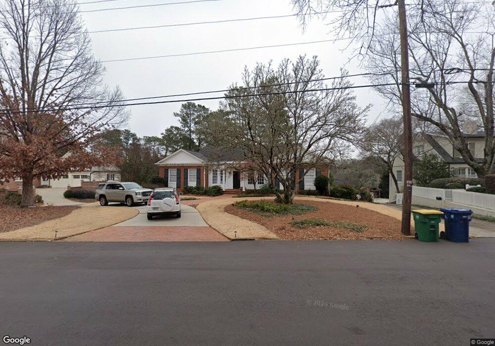
625 W Cloverhurst Ave Athens, GA 30606
Five Points NeighborhoodEstimated Value: $1,210,000 - $1,903,000
--
Bed
1
Bath
4,266
Sq Ft
$328/Sq Ft
Est. Value
About This Home
This home is located at 625 W Cloverhurst Ave, Athens, GA 30606 and is currently estimated at $1,400,332, approximately $328 per square foot. 625 W Cloverhurst Ave is a home located in Clarke County with nearby schools including Barrow Elementary School, Clarke Middle School, and Clarke Central High School.
Ownership History
Date
Name
Owned For
Owner Type
Purchase Details
Closed on
Oct 17, 2005
Sold by
Bond Dorrie R
Bought by
Bond Dorrie R and Bond Charles H
Current Estimated Value
Purchase Details
Closed on
Jul 30, 1999
Sold by
Milner J Gilbert
Bought by
Bond Dorrie R
Purchase Details
Closed on
Nov 5, 1996
Sold by
Lampkin Lucy
Bought by
Milner J Gilbert
Create a Home Valuation Report for This Property
The Home Valuation Report is an in-depth analysis detailing your home's value as well as a comparison with similar homes in the area
Home Values in the Area
Average Home Value in this Area
Purchase History
| Date | Buyer | Sale Price | Title Company |
|---|---|---|---|
| Bond Dorrie R | -- | -- | |
| Bond Dorrie R | $320,000 | -- | |
| Milner J Gilbert | $195,000 | -- |
Source: Public Records
Tax History Compared to Growth
Tax History
| Year | Tax Paid | Tax Assessment Tax Assessment Total Assessment is a certain percentage of the fair market value that is determined by local assessors to be the total taxable value of land and additions on the property. | Land | Improvement |
|---|---|---|---|---|
| 2025 | $9,341 | $358,853 | $88,800 | $270,053 |
| 2024 | $9,341 | $358,853 | $88,800 | $270,053 |
| 2023 | $9,408 | $327,914 | $88,800 | $239,114 |
| 2022 | $9,069 | $301,469 | $86,400 | $215,069 |
| 2021 | $9,190 | $298,440 | $86,400 | $212,040 |
| 2020 | $9,053 | $288,438 | $86,400 | $202,038 |
| 2019 | $8,893 | $292,550 | $86,400 | $206,150 |
| 2018 | $7,595 | $233,697 | $72,000 | $161,697 |
| 2017 | $7,500 | $230,919 | $72,000 | $158,919 |
| 2016 | $7,217 | $222,584 | $72,000 | $150,584 |
| 2015 | $7,065 | $217,784 | $67,200 | $150,584 |
| 2014 | $7,076 | $217,784 | $67,200 | $150,584 |
Source: Public Records
Map
Nearby Homes
- 577 W Cloverhurst Ave
- 495 Woodlawn Ave
- 169 Fortson Cir
- 1055 Baxter St Unit 504
- 490 Mcwhorter Dr
- 206 Fortson Dr
- 338 Springdale St
- 224 Fortson Dr
- 265 Springdale St
- 590 Highland Ave
- 997 S Milledge Ave Unit 2
- 997 S Milledge Ave Unit 3
- 997 S Milledge Ave Unit 1
- 997 S Milledge Ave Unit 4
- 255 Bloomfield St
- 175 Tillman Ln
- 589 W Lake Dr
- 50 Springdale St
- 597 Dearing St
- 104 W Lake Ct
- 635 W Cloverhurst Ave
- 585 W Cloverhurst Ave
- 150 Mcwhorter Dr
- 180 Mcwhorter Dr
- 195 Mcwhorter Dr
- 645 W Cloverhurst Ave
- 630 W Cloverhurst Ave
- 190 Mcwhorter Dr
- 569 W Cloverhurst Ave
- 590 W Cloverhurst Ave
- 211 Mcwhorter Dr
- 540 W Rutherford St
- 565 W Cloverhurst Ave
- 220 Mcwhorter Dr
- 560 W Cloverhurst Ave
- 610 Springdale St
- 219 Mcwhorter Dr
- 295 Oakland Way
- 725 Bobbin Mill Rd
- 590 Springdale St