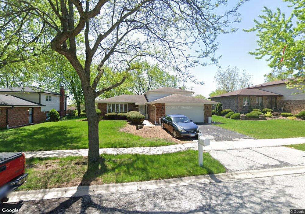
6251 Fox Run Ln Matteson, IL 60443
West Matteson NeighborhoodEstimated Value: $238,000 - $280,000
3
Beds
2
Baths
1,307
Sq Ft
$193/Sq Ft
Est. Value
About This Home
This home is located at 6251 Fox Run Ln, Matteson, IL 60443 and is currently estimated at $252,394, approximately $193 per square foot. 6251 Fox Run Ln is a home located in Cook County with nearby schools including Colin Powell Middle School.
Ownership History
Date
Name
Owned For
Owner Type
Purchase Details
Closed on
Apr 24, 2006
Sold by
Brown Cherese Moore
Bought by
Mundy Gerald
Current Estimated Value
Purchase Details
Closed on
Oct 14, 2005
Sold by
Mundy Gerald D
Bought by
Brown Cherese Moore
Purchase Details
Closed on
Jul 26, 2005
Sold by
Moore Beverly and Mundy Beverly
Bought by
Mundy Gerald
Home Financials for this Owner
Home Financials are based on the most recent Mortgage that was taken out on this home.
Original Mortgage
$128,000
Interest Rate
5.74%
Mortgage Type
Fannie Mae Freddie Mac
Create a Home Valuation Report for This Property
The Home Valuation Report is an in-depth analysis detailing your home's value as well as a comparison with similar homes in the area
Home Values in the Area
Average Home Value in this Area
Purchase History
| Date | Buyer | Sale Price | Title Company |
|---|---|---|---|
| Mundy Gerald | -- | None Available | |
| Brown Cherese Moore | -- | -- | |
| Mundy Gerald | -- | Exeter Title Company |
Source: Public Records
Mortgage History
| Date | Status | Borrower | Loan Amount |
|---|---|---|---|
| Previous Owner | Mundy Gerald | $128,000 |
Source: Public Records
Tax History
| Year | Tax Paid | Tax Assessment Tax Assessment Total Assessment is a certain percentage of the fair market value that is determined by local assessors to be the total taxable value of land and additions on the property. | Land | Improvement |
|---|---|---|---|---|
| 2025 | $6,371 | $22,000 | $3,360 | $18,640 |
| 2024 | $6,371 | $22,000 | $3,360 | $18,640 |
| 2023 | $4,490 | $22,000 | $3,360 | $18,640 |
| 2022 | $4,490 | $15,227 | $2,940 | $12,287 |
| 2021 | $4,629 | $15,227 | $2,940 | $12,287 |
| 2020 | $4,712 | $15,227 | $2,940 | $12,287 |
| 2019 | $4,287 | $14,020 | $2,730 | $11,290 |
| 2018 | $5,329 | $14,020 | $2,730 | $11,290 |
| 2017 | $3,806 | $14,020 | $2,730 | $11,290 |
| 2016 | $5,416 | $12,963 | $2,520 | $10,443 |
| 2015 | $5,254 | $12,963 | $2,520 | $10,443 |
| 2014 | $5,138 | $12,963 | $2,520 | $10,443 |
| 2013 | $5,487 | $14,556 | $2,520 | $12,036 |
Source: Public Records
Map
Nearby Homes
- 6306 Beaver Dam Rd
- 6158 White Birch Ln
- 6200 Marsh Ln
- 6125 Sunflower Dr
- 6226 Beechwood Rd
- 443 Danielle Rd
- 433 Wheatfield Rd
- 6037 Spring Ln
- 6021 Spring Ln
- 749 Old Farm Rd
- 6216 Pond View Dr
- 152 Oakhurst Rd
- 123 Oriole Rd
- 5804 Kathryn Ln
- 5808 Allemong Dr
- 34 Wedgewood Rd
- 42 Pheasant Rd
- 156 Cloverleaf Rd
- 25 Pheasant Rd
- 21131 Vivienne Dr
Your Personal Tour Guide
Ask me questions while you tour the home.