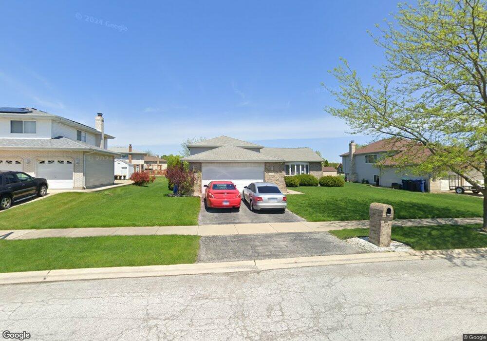
6258 Michael Ln Matteson, IL 60443
West Matteson NeighborhoodEstimated Value: $247,000 - $322,000
3
Beds
3
Baths
1,454
Sq Ft
$186/Sq Ft
Est. Value
About This Home
This home is located at 6258 Michael Ln, Matteson, IL 60443 and is currently estimated at $270,487, approximately $186 per square foot. 6258 Michael Ln is a home located in Cook County with nearby schools including Colin Powell Middle School and Dr. Wolfe's Montessori School.
Ownership History
Date
Name
Owned For
Owner Type
Purchase Details
Closed on
Apr 1, 1999
Sold by
South Holland Trust & Svgs Bank
Bought by
Mccord Phillip and Mccord Kimberly M
Current Estimated Value
Home Financials for this Owner
Home Financials are based on the most recent Mortgage that was taken out on this home.
Original Mortgage
$141,300
Outstanding Balance
$33,180
Interest Rate
7.17%
Estimated Equity
$237,307
Create a Home Valuation Report for This Property
The Home Valuation Report is an in-depth analysis detailing your home's value as well as a comparison with similar homes in the area
Home Values in the Area
Average Home Value in this Area
Purchase History
| Date | Buyer | Sale Price | Title Company |
|---|---|---|---|
| Mccord Phillip | $162,000 | First American Title |
Source: Public Records
Mortgage History
| Date | Status | Borrower | Loan Amount |
|---|---|---|---|
| Open | Mccord Phillip | $141,300 |
Source: Public Records
Tax History
| Year | Tax Paid | Tax Assessment Tax Assessment Total Assessment is a certain percentage of the fair market value that is determined by local assessors to be the total taxable value of land and additions on the property. | Land | Improvement |
|---|---|---|---|---|
| 2025 | $5,140 | $14,059 | $4,788 | $9,271 |
| 2024 | $5,140 | $14,059 | $4,788 | $9,271 |
| 2023 | $4,669 | $14,059 | $4,788 | $9,271 |
| 2022 | $4,669 | $10,431 | $4,135 | $6,296 |
| 2021 | $4,737 | $10,430 | $4,134 | $6,296 |
| 2020 | $4,637 | $10,430 | $4,134 | $6,296 |
| 2019 | $4,003 | $9,041 | $3,699 | $5,342 |
| 2018 | $3,943 | $9,041 | $3,699 | $5,342 |
| 2017 | $3,850 | $9,041 | $3,699 | $5,342 |
| 2016 | $4,143 | $9,254 | $3,264 | $5,990 |
| 2015 | $4,036 | $9,254 | $3,264 | $5,990 |
| 2014 | $3,940 | $9,254 | $3,264 | $5,990 |
| 2013 | $4,038 | $10,092 | $3,264 | $6,828 |
Source: Public Records
Map
Nearby Homes
- 34 Wedgewood Rd
- 56 Timberlane Rd
- 10 Wedgewood Rd
- 42 Pheasant Rd
- 433 Wheatfield Rd
- 6226 Beechwood Rd
- 123 Oriole Rd
- 25 Pheasant Rd
- 5943 Woodgate Dr
- 152 Oakhurst Rd
- 5911 Timberlane Rd
- 13 Oakview Rd
- 6306 Beaver Dam Rd
- 5838 Woodgate Dr
- 111 Deerpath Rd
- 156 Cloverleaf Rd
- 116 Cloverleaf Rd
- 5808 Allemong Dr
- 6037 Spring Ln
- 6021 Spring Ln
- 6258 Michael Ln
- 6300 Michael Ln
- 6300 Michael Ln
- 133 Old Mill Rd
- 6250 Michael Ln
- 123 Old Mill Rd
- 6261 Michael Ln
- 6301 Michael Ln
- 6253 Michael Ln
- 120 Red Barn Rd
- 6232 Michael Ln
- 6232 Michael Ln
- 161 Red Barn Rd
- 6318 Michael Ln
- 6318 Michael Ln
- 6309 Michael Ln
- 6245 Michael Ln
- 149 Red Barn Rd
- 122 Old Mill Rd
- 137 Red Barn Rd