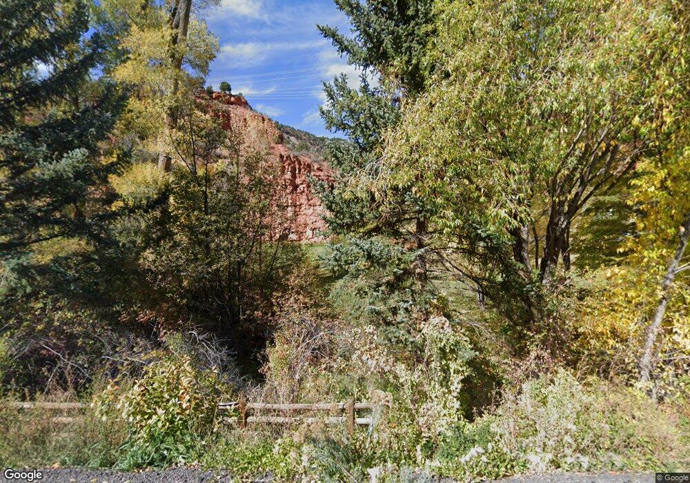
6259 Frying Pan Rd Basalt, CO 81621
Estimated Value: $1,003,000 - $3,207,000
3
Beds
2
Baths
1,485
Sq Ft
$1,313/Sq Ft
Est. Value
About This Home
This home is located at 6259 Frying Pan Rd, Basalt, CO 81621 and is currently estimated at $1,950,481, approximately $1,313 per square foot. 6259 Frying Pan Rd is a home located in Eagle County.
Ownership History
Date
Name
Owned For
Owner Type
Purchase Details
Closed on
May 23, 2009
Sold by
Murphy Deborah
Bought by
Murphy Deborah and Gabow Bruce S
Current Estimated Value
Purchase Details
Closed on
Mar 14, 2008
Sold by
Gabow Bruce S
Bought by
Murphy Deborah
Home Financials for this Owner
Home Financials are based on the most recent Mortgage that was taken out on this home.
Original Mortgage
$135,000
Interest Rate
6.19%
Mortgage Type
Unknown
Create a Home Valuation Report for This Property
The Home Valuation Report is an in-depth analysis detailing your home's value as well as a comparison with similar homes in the area
Purchase History
| Date | Buyer | Sale Price | Title Company |
|---|---|---|---|
| Murphy Deborah | -- | None Available | |
| Murphy Deborah | -- | Stewart Title Of Colorado In |
Source: Public Records
Mortgage History
| Date | Status | Borrower | Loan Amount |
|---|---|---|---|
| Closed | Murphy Deborah | $135,000 |
Source: Public Records
Tax History
| Year | Tax Paid | Tax Assessment Tax Assessment Total Assessment is a certain percentage of the fair market value that is determined by local assessors to be the total taxable value of land and additions on the property. | Land | Improvement |
|---|---|---|---|---|
| 2024 | $6,344 | $85,220 | $66,160 | $19,060 |
| 2023 | $6,344 | $85,220 | $66,160 | $19,060 |
| 2022 | $2,554 | $38,730 | $25,320 | $13,410 |
| 2021 | $2,626 | $39,850 | $26,050 | $13,800 |
| 2020 | $2,501 | $39,850 | $26,050 | $13,800 |
| 2019 | $2,525 | $39,850 | $26,050 | $13,800 |
| 2018 | $2,397 | $37,950 | $26,230 | $11,720 |
| 2017 | $2,269 | $37,950 | $26,230 | $11,720 |
| 2016 | $2,286 | $38,390 | $28,000 | $10,390 |
| 2015 | -- | $38,390 | $28,000 | $10,390 |
| 2014 | $2,280 | $31,950 | $19,000 | $12,950 |
Source: Public Records
Map
Nearby Homes
- 163 Castle Ln
- 5129 Frying Pan Rd
- 5045 Frying Pan Rd
- 4959 Frying Pan Rd
- 54 Spruce Rd
- 2147 Lower River Rd
- 27 Lazy Glen
- 73 Lazy Glen
- 354 Snowmass Creek Rd
- 331 Holland Hills Rd Unit 2
- 400 Meadow Ln Unit 9
- 679 Pinon Dr
- 1018 Lauren Ln
- 740 Hearthstone Dr
- 755 Hearthstone Dr
- 805 Pinon Dr Unit 4
- 152 Wren Ct
- 217 Longhorn Ln
- 304 Waterview Dr
- 262 Midland Ave
- 339 Big Hat Rd
- 150 Happy Jack Rd
- 250 Big Hat Rd
- 351 Big Hat Rd
- 175 Big Hat Rd
- 403 Big Hat Rd
- 386 Big Hat Rd
- 582 Big Hat Rd
- 582 Big Hat Rd
- 222 Big Hat Rd
- 222 Big Hat Rd
- 6559 Frying Pan Rd
- 264 Big Hat Rd
- 308 Taylor Creek Rd
- 6692 Frying Pan Rd
- 5893 Frying Pan Rd
- 5893 Frying Pan Rd Unit 1
- 7090 Frying Pan Rd
- 5548&5700 Frying Pan Rd
- 357 Castle Ln
