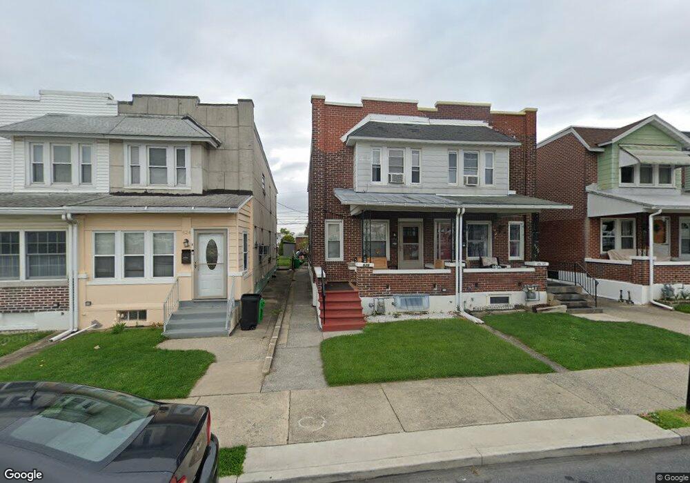
626 1/2 N Kiowa St Allentown, PA 18109
Rittersville NeighborhoodEstimated Value: $200,000 - $282,000
3
Beds
1
Bath
1,400
Sq Ft
$162/Sq Ft
Est. Value
About This Home
This home is located at 626 1/2 N Kiowa St, Allentown, PA 18109 and is currently estimated at $226,576, approximately $161 per square foot. 626 1/2 N Kiowa St is a home with nearby schools including Ritter Elementary School, Harrison-Morton Middle School, and Louis E. Dieruff High School.
Ownership History
Date
Name
Owned For
Owner Type
Purchase Details
Closed on
Sep 18, 2006
Sold by
Falatek Betty J
Bought by
Giron Jaime
Current Estimated Value
Home Financials for this Owner
Home Financials are based on the most recent Mortgage that was taken out on this home.
Original Mortgage
$27,000
Outstanding Balance
$10,982
Interest Rate
6.52%
Mortgage Type
Stand Alone Second
Estimated Equity
$215,594
Purchase Details
Closed on
Nov 14, 1955
Bought by
Falatek Betty J and Falatek Francis E
Create a Home Valuation Report for This Property
The Home Valuation Report is an in-depth analysis detailing your home's value as well as a comparison with similar homes in the area
Home Values in the Area
Average Home Value in this Area
Purchase History
| Date | Buyer | Sale Price | Title Company |
|---|---|---|---|
| Giron Jaime | $135,000 | None Available | |
| Falatek Betty J | $10,000 | -- |
Source: Public Records
Mortgage History
| Date | Status | Borrower | Loan Amount |
|---|---|---|---|
| Open | Giron Jaime | $27,000 | |
| Open | Giron Jaime | $108,000 |
Source: Public Records
Tax History Compared to Growth
Tax History
| Year | Tax Paid | Tax Assessment Tax Assessment Total Assessment is a certain percentage of the fair market value that is determined by local assessors to be the total taxable value of land and additions on the property. | Land | Improvement |
|---|---|---|---|---|
| 2025 | $2,916 | $89,300 | $8,300 | $81,000 |
| 2024 | $2,916 | $89,300 | $8,300 | $81,000 |
| 2023 | $2,916 | $89,300 | $8,300 | $81,000 |
| 2022 | $2,814 | $89,300 | $81,000 | $8,300 |
| 2021 | $2,758 | $89,300 | $8,300 | $81,000 |
| 2020 | $2,686 | $89,300 | $8,300 | $81,000 |
| 2019 | $2,643 | $89,300 | $8,300 | $81,000 |
| 2018 | $2,465 | $89,300 | $8,300 | $81,000 |
| 2017 | $2,403 | $89,300 | $8,300 | $81,000 |
| 2016 | -- | $89,300 | $8,300 | $81,000 |
| 2015 | -- | $89,300 | $8,300 | $81,000 |
| 2014 | -- | $89,300 | $8,300 | $81,000 |
Source: Public Records
Map
Nearby Homes
- 619 N Jasper St
- 643 N Irving St
- 812 N Lacrosse St
- 805 N Oswego St
- 744 E Green St
- 1623 E Dent St
- 923 N Kearney St
- 1146 E Livingston St
- 301 333 Union Blvd
- 408 N Gilmore St
- 407 N Fenwick St
- 1310 E Highland St
- 960 E Fairview St
- 1024 E Elm St
- 456 Hanover Ave
- 816 Shell St
- 1404 E Pennsylvania St
- 2030 Hanover Ave Unit 2032
- 422 E Court St
- 501 N Carlisle St
- 626 N Kiowa St
- 624 N Kiowa St
- 628 N Kiowa St
- 622 N Kiowa St
- 630 N Kiowa St
- 632 N Kiowa St
- 620 N Kiowa St
- 634 N Kiowa St
- 618 N Kiowa St
- 636 N Kiowa St
- 638 N Kiowa St
- 640 N Kiowa St
- 1111 E Sycamore St
- 642 N Kiowa St
- 1112 E Tilghman St
- 1110 E Tilghman St
- 1105 E Sycamore St Unit 1107
- 1108 E Tilghman St
- 1106 E Tilghman St
- 702 N Kiowa St Unit 7045