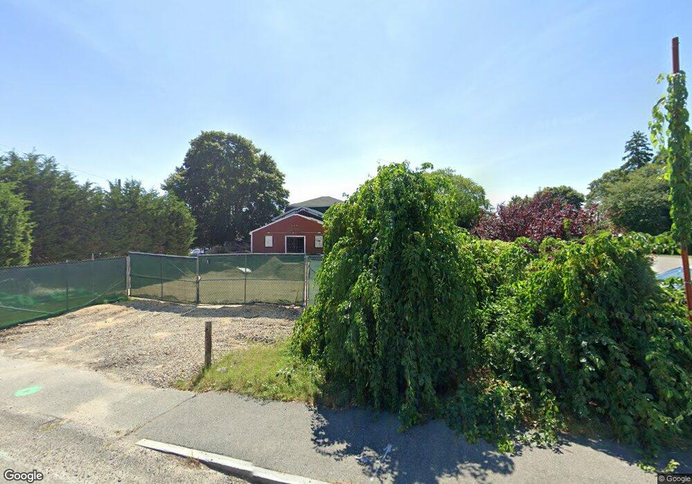
626 Main St Dennis Port, MA 2639
Dennis Port NeighborhoodEstimated Value: $706,264
--
Bed
--
Bath
8,128
Sq Ft
$87/Sq Ft
Est. Value
About This Home
This home is located at 626 Main St, Dennis Port, MA 2639 and is currently priced at $706,264, approximately $86 per square foot. 626 Main St is a home located in Barnstable County with nearby schools including Dennis-Yarmouth Regional High School.
Ownership History
Date
Name
Owned For
Owner Type
Purchase Details
Closed on
Dec 3, 2024
Sold by
Joseph Baker House Dennis
Bought by
Campanelli 626 Main Hldg
Current Estimated Value
Home Financials for this Owner
Home Financials are based on the most recent Mortgage that was taken out on this home.
Original Mortgage
$5,044,489
Outstanding Balance
$4,993,336
Interest Rate
6.54%
Mortgage Type
Purchase Money Mortgage
Purchase Details
Closed on
Jul 15, 2022
Sold by
626 Main Street Irt and Grimaldi
Bought by
Joseph Baker House Dennis
Home Financials for this Owner
Home Financials are based on the most recent Mortgage that was taken out on this home.
Original Mortgage
$535,000
Interest Rate
5.09%
Mortgage Type
Commercial
Purchase Details
Closed on
Oct 26, 2012
Sold by
Y Mustache Llc
Bought by
626 Main Street Rt and Grimaldi
Purchase Details
Closed on
Nov 16, 2007
Sold by
Buddy Boy Rt and Maradian
Bought by
Y Mustache Llc and Maradian
Home Financials for this Owner
Home Financials are based on the most recent Mortgage that was taken out on this home.
Original Mortgage
$525,000
Interest Rate
6.41%
Mortgage Type
Commercial
Create a Home Valuation Report for This Property
The Home Valuation Report is an in-depth analysis detailing your home's value as well as a comparison with similar homes in the area
Home Values in the Area
Average Home Value in this Area
Purchase History
| Date | Buyer | Sale Price | Title Company |
|---|---|---|---|
| Campanelli 626 Main Hldg | $550,000 | None Available | |
| Campanelli 626 Main Hldg | $550,000 | None Available | |
| Joseph Baker House Dennis | $635,000 | None Available | |
| Joseph Baker House Dennis | $635,000 | None Available | |
| 626 Main Street Rt | $625,000 | -- | |
| 626 Main Street Rt | $625,000 | -- | |
| Y Mustache Llc | $625,000 | -- | |
| Dadmun Maradian C | -- | -- | |
| Y Mustache Llc | $625,000 | -- | |
| Buddy Boy Rt | -- | -- |
Source: Public Records
Mortgage History
| Date | Status | Borrower | Loan Amount |
|---|---|---|---|
| Open | Campanelli 626 Main Hldg | $5,044,489 | |
| Closed | Campanelli 626 Main Hldg | $5,044,489 | |
| Previous Owner | Joseph Baker House Dennis | $535,000 | |
| Previous Owner | Y Mustache Llc | $525,000 |
Source: Public Records
Tax History Compared to Growth
Tax History
| Year | Tax Paid | Tax Assessment Tax Assessment Total Assessment is a certain percentage of the fair market value that is determined by local assessors to be the total taxable value of land and additions on the property. | Land | Improvement |
|---|---|---|---|---|
| 2025 | $1,470 | $339,500 | $337,300 | $2,200 |
| 2024 | $2,802 | $638,200 | $325,000 | $313,200 |
| 2023 | $4,116 | $881,300 | $309,500 | $571,800 |
| 2022 | $4,656 | $831,500 | $292,000 | $539,500 |
| 2021 | $4,839 | $802,500 | $286,300 | $516,200 |
| 2020 | $4,798 | $786,600 | $282,900 | $503,700 |
| 2019 | $4,663 | $755,700 | $257,200 | $498,500 |
| 2018 | $4,730 | $746,100 | $257,200 | $488,900 |
| 2017 | $4,589 | $746,100 | $257,200 | $488,900 |
| 2016 | $4,641 | $710,700 | $231,500 | $479,200 |
| 2015 | $3,794 | $592,800 | $231,500 | $361,300 |
| 2014 | $3,201 | $504,100 | $231,500 | $272,600 |
Source: Public Records
Map
Nearby Homes
- 47 Telegraph Rd Unit 1
- 141 Division St
- 9 Country Ln
- 141 Division St
- 10 Candlewood Ln Unit 2-1
- 12 Candlewood Ln Unit 2-9
- 73 Division St
- 12 Cross St
- 45 Route 28
- 40 Willow St
- 148 Belmont Rd
- 79 Massachusetts 28
- 104 Toms Path
- 9 Bells Neck Rd Unit 10
- 104 Toms Path
- 11 Lane Rd
- 91 Depot Rd W
- 9 Mansion St
- 78 Upper County Rd Unit A&B
- 78 Upper County Rd
- 227 Upper County Rd
- 17 Telegraph Rd
- 237 Upper County Rd
- 636 Main St
- 610 Main St
- 616 Main St Unit B
- 616 Main St
- 16 Telegraph Rd
- 640 Main ( Rte 28 )
- 202 Upper County Rd Unit RD
- 202 Upper County Rd Unit 2
- 202 Upper County Rd
- 232 Upper County Rd
- 2 Telegraph Rd
- 652 Main St
- 221 Upper County Rd
- 221 Upper County Rd Unit 206
- 221 Upper County Rd Unit 205
- 221 Upper County Rd Unit 204
- 221 Upper County Rd Unit 2B