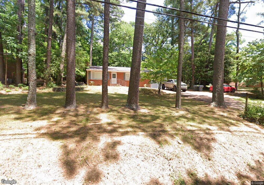
626 Mountain Rd Asheboro, NC 27205
Estimated Value: $181,000 - $224,000
2
Beds
1
Bath
1,143
Sq Ft
$178/Sq Ft
Est. Value
About This Home
This home is located at 626 Mountain Rd, Asheboro, NC 27205 and is currently estimated at $203,458, approximately $178 per square foot. 626 Mountain Rd is a home located in Randolph County with nearby schools including Charles W. McCrary Elementary School, North Asheboro Middle School, and Asheboro High School.
Ownership History
Date
Name
Owned For
Owner Type
Purchase Details
Closed on
Jun 24, 2010
Sold by
Hoffman Robert W and Hoffman Kimberly W
Bought by
Brown Walker Robert S and Brown Walker Sue Ann
Current Estimated Value
Home Financials for this Owner
Home Financials are based on the most recent Mortgage that was taken out on this home.
Original Mortgage
$56,000
Interest Rate
4.91%
Mortgage Type
New Conventional
Purchase Details
Closed on
Nov 1, 1989
Bought by
Walker Robert Walker Sue Ann
Create a Home Valuation Report for This Property
The Home Valuation Report is an in-depth analysis detailing your home's value as well as a comparison with similar homes in the area
Home Values in the Area
Average Home Value in this Area
Purchase History
| Date | Buyer | Sale Price | Title Company |
|---|---|---|---|
| Brown Walker Robert S | $91,000 | None Available | |
| Walker Robert Walker Sue Ann | $54,200 | -- |
Source: Public Records
Mortgage History
| Date | Status | Borrower | Loan Amount |
|---|---|---|---|
| Closed | Brown Walker Robert S | $56,000 |
Source: Public Records
Tax History
| Year | Tax Paid | Tax Assessment Tax Assessment Total Assessment is a certain percentage of the fair market value that is determined by local assessors to be the total taxable value of land and additions on the property. | Land | Improvement |
|---|---|---|---|---|
| 2025 | $2,140 | $161,470 | $52,730 | $108,740 |
| 2024 | $2,140 | $161,470 | $52,730 | $108,740 |
| 2023 | $2,140 | $161,470 | $52,730 | $108,740 |
| 2022 | $1,711 | $118,710 | $44,640 | $74,070 |
| 2021 | $1,711 | $118,710 | $44,640 | $74,070 |
| 2020 | $1,711 | $118,710 | $44,640 | $74,070 |
| 2019 | $1,711 | $118,710 | $44,640 | $74,070 |
| 2018 | $1,372 | $93,510 | $32,090 | $61,420 |
| 2016 | $1,372 | $93,513 | $32,090 | $61,423 |
| 2015 | $1,375 | $93,513 | $32,090 | $61,423 |
| 2014 | $1,342 | $93,513 | $32,090 | $61,423 |
Source: Public Records
Map
Nearby Homes
- 621 Mountain Rd
- 705 Mountain Rd
- 866 Mountain Rd
- 1011 Westmont Dr
- 0000 Little Gate Dr
- 1582 Westmont Dr
- 0 Chestnut St Unit 17-19
- 0 Chestnut St Unit 1213142
- 1254 Sunset Dr
- TBD Oakland Ave
- 1143 Westover Terrace
- 1407 Oakland Ave
- 0 Oakhurst Dr
- 1270 Thayer Dr
- 0 Amity Rd
- 330 W Presnell St Unit 7
- 711 Sunset Ave Unit E
- 925 Tamworth Rd
- 135 Dixon St
- 314 Pershing St
- 632 Mountain Rd
- 612 Mountain Rd
- 1114 Springdale Ln
- 629 Mountain Rd
- 603 Mountain Rd
- 711 Mountain Rd
- 620 Oakmont Dr
- 625 Corwith St
- 626 Oakmont Dr
- 0 Horse Mountain Rd
- 604 Oakmont Dr
- 611 Lincoln Ave
- 603 Lincoln Ave
- 536 Mountain Rd
- 708 Oakmont Dr
- 617 Lincoln Ave
- 589 Lincoln Ave
- 721 Mountain Rd
- 802 Mountain Rd
- 526 Oakmont Dr
Your Personal Tour Guide
Ask me questions while you tour the home.