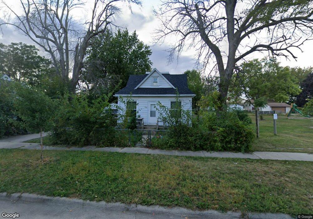
626 S Adams Ave Mason City, IA 50401
Estimated Value: $47,000 - $76,000
2
Beds
1
Bath
766
Sq Ft
$86/Sq Ft
Est. Value
About This Home
This home is located at 626 S Adams Ave, Mason City, IA 50401 and is currently estimated at $65,813, approximately $85 per square foot. 626 S Adams Ave is a home with nearby schools including Mason City High School, North Iowa Christian School, and Mason City Seventh Day Adventi.
Ownership History
Date
Name
Owned For
Owner Type
Purchase Details
Closed on
Nov 1, 2016
Sold by
Fischer John J and Fischer Kelly K
Bought by
M & R Investment Group Llc
Current Estimated Value
Home Financials for this Owner
Home Financials are based on the most recent Mortgage that was taken out on this home.
Original Mortgage
$35,000
Outstanding Balance
$28,099
Interest Rate
3.42%
Mortgage Type
Commercial
Estimated Equity
$37,714
Purchase Details
Closed on
Dec 11, 2006
Sold by
Simon Edward D and Simon Brenda S
Bought by
Fischer John J
Create a Home Valuation Report for This Property
The Home Valuation Report is an in-depth analysis detailing your home's value as well as a comparison with similar homes in the area
Home Values in the Area
Average Home Value in this Area
Purchase History
| Date | Buyer | Sale Price | Title Company |
|---|---|---|---|
| M & R Investment Group Llc | $22,500 | Attorney | |
| Fischer John J | $33,000 | None Available |
Source: Public Records
Mortgage History
| Date | Status | Borrower | Loan Amount |
|---|---|---|---|
| Open | M & R Investment Group Llc | $35,000 |
Source: Public Records
Tax History Compared to Growth
Tax History
| Year | Tax Paid | Tax Assessment Tax Assessment Total Assessment is a certain percentage of the fair market value that is determined by local assessors to be the total taxable value of land and additions on the property. | Land | Improvement |
|---|---|---|---|---|
| 2024 | $566 | $35,360 | $13,820 | $21,540 |
| 2023 | $562 | $35,360 | $13,820 | $21,540 |
| 2022 | $558 | $28,370 | $10,630 | $17,740 |
| 2021 | $644 | $27,080 | $10,630 | $16,450 |
| 2020 | $644 | $29,710 | $10,630 | $19,080 |
| 2019 | $584 | $0 | $0 | $0 |
| 2018 | $566 | $0 | $0 | $0 |
| 2017 | $578 | $0 | $0 | $0 |
| 2016 | $564 | $0 | $0 | $0 |
| 2015 | $564 | $0 | $0 | $0 |
| 2014 | $642 | $0 | $0 | $0 |
| 2013 | $618 | $0 | $0 | $0 |
Source: Public Records
Map
Nearby Homes
- 143 11th St SW
- 210 1st St SW
- 305 5th St NW Unit 1-12
- 253 6th St SE
- 728 S Harrison Ave
- 727 2nd St SW
- 908 6th St SW
- 2 Oak Dr
- 2 Oak Dr
- 1005 8th St SW
- 102 S Connecticut Ave Unit A-E
- 125 N Crescent Dr
- 308 15th St SE
- 413 S Carolina Ave
- 341 S Carolina Ave
- 1311 S Massachusetts Ave
- 1111 1st St SW
- 323 6th St NW
- 522 N Madison Ave
- 1025 2nd St NW
- 632 S Adams Ave
- 638 S Adams Ave
- 621 S Jefferson Ave
- 631 S Adams Ave
- 642 S Adams Ave
- 617 S Jefferson Ave
- 635 S Adams Ave
- 633 S Jefferson Ave
- 609 S Jefferson Ave
- 152 7th St SW
- 222 7th St SW
- 203 6th St SE
- 217 6th St SW
- 146 7th St SW
- 145 6th St SW
- 704 S Adams Ave
- 221 6th St SW
- 632 S President Ave
- 151 7th St SW
- 620 S President Ave