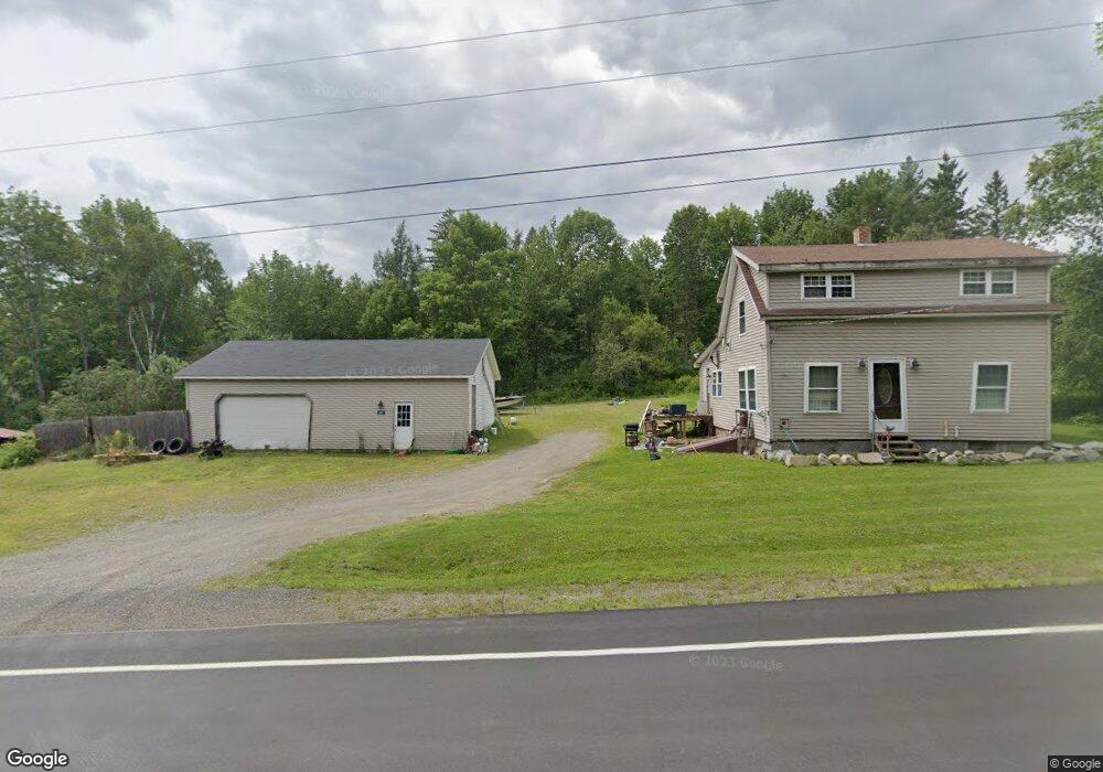
626 Us Route 1 Weston, ME 04424
Estimated Value: $113,025 - $131,000
--
Bed
1
Bath
360
Sq Ft
$343/Sq Ft
Est. Value
About This Home
This home is located at 626 Us Route 1, Weston, ME 04424 and is currently estimated at $123,506, approximately $343 per square foot. 626 Us Route 1 is a home with nearby schools including East Grand School.
Ownership History
Date
Name
Owned For
Owner Type
Purchase Details
Closed on
May 11, 2017
Sold by
Goforth Patrick A and Goforth Norma E
Bought by
Foss Justin and Foss Tisheena
Current Estimated Value
Home Financials for this Owner
Home Financials are based on the most recent Mortgage that was taken out on this home.
Original Mortgage
$55,555
Outstanding Balance
$46,251
Interest Rate
4.14%
Mortgage Type
Commercial
Estimated Equity
$77,255
Purchase Details
Closed on
Sep 26, 2007
Sold by
Emery Christipher F and Emery Samantha G
Bought by
Goforth Patrick A and Goforth Norma E
Create a Home Valuation Report for This Property
The Home Valuation Report is an in-depth analysis detailing your home's value as well as a comparison with similar homes in the area
Home Values in the Area
Average Home Value in this Area
Purchase History
| Date | Buyer | Sale Price | Title Company |
|---|---|---|---|
| Foss Justin | -- | -- | |
| Goforth Patrick A | -- | -- |
Source: Public Records
Mortgage History
| Date | Status | Borrower | Loan Amount |
|---|---|---|---|
| Open | Foss Justin | $55,555 |
Source: Public Records
Tax History Compared to Growth
Tax History
| Year | Tax Paid | Tax Assessment Tax Assessment Total Assessment is a certain percentage of the fair market value that is determined by local assessors to be the total taxable value of land and additions on the property. | Land | Improvement |
|---|---|---|---|---|
| 2024 | $1,202 | $68,700 | $16,300 | $52,400 |
| 2023 | $1,003 | $57,300 | $13,600 | $43,700 |
| 2022 | $1,021 | $52,100 | $12,400 | $39,700 |
| 2021 | $995 | $52,100 | $12,400 | $39,700 |
| 2020 | $964 | $52,100 | $12,400 | $39,700 |
| 2019 | $953 | $52,100 | $12,400 | $39,700 |
| 2018 | $925 | $52,100 | $12,400 | $39,700 |
| 2017 | $912 | $52,100 | $12,400 | $39,700 |
| 2016 | $899 | $52,100 | $12,400 | $39,700 |
| 2015 | $917 | $52,100 | $12,400 | $39,700 |
| 2014 | $761 | $52,100 | $12,400 | $39,700 |
| 2013 | $760 | $42,200 | $6,300 | $35,900 |
Source: Public Records
Map
Nearby Homes
- 509 Woodland Ridge Rd
- 32 S Nagle Ln
- 1058 U S 1
- 81 Randall Dr
- 18 Bass Ln
- Lot 10.3 Harris Hill Rd
- Lot 2 Woodland Ridge Rd
- Lot 1 Woodland Ridge Rd
- 0 Woodland Ridge Rd Unit 35 24449234
- 98 Bancroft Rd
- 38 Bancroft Rd
- 358 Springfield Rd
- 69 Deering Lake Rd
- M26L11.2 Boulder Rd
- 52 Irish Settlement Rd
- 178 Irish Settlement Rd
- Lot 6 Woodland Ridge Rd
- Lot 5 Woodland Ridge Rd
- Lot 3 Woodland Ridge Rd
- Lot 4 Woodland Ridge Rd
- 669 Us Route 1
- 690 Us Route 1
- 680 Us Route 1
- 693 Us Route 1
- 0 Butterfield Landing Unit 376345
- 0 Butterfield Landing Unit 498167
- 0 Butterfield Landing Unit 896199
- 701 U S 1
- 593 Us Route One
- 593 U S 1
- 659 Us Route 1
- 34 Butterfield Landing Rd
- 588 Us Route 1
- 35 Butterfield Landing Rd
- Lot 10 Us Route One Rd
- 0 U S Route #1
- 0 U S Route 1
- 0 Rt 1
- 580 Us Route 1
- 701 Us Route 1