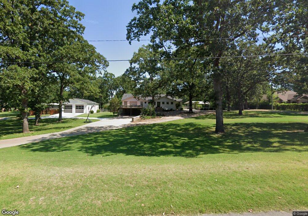
6263 Gordon Ln Fort Smith, AR 72903
Estimated Value: $636,000 - $695,000
--
Bed
2
Baths
3,917
Sq Ft
$170/Sq Ft
Est. Value
About This Home
This home is located at 6263 Gordon Ln, Fort Smith, AR 72903 and is currently estimated at $664,785, approximately $169 per square foot. 6263 Gordon Ln is a home located in Sebastian County with nearby schools including Euper Lane Elementary School, L.A. Chaffin Junior High School, and Southside High School.
Ownership History
Date
Name
Owned For
Owner Type
Purchase Details
Closed on
Aug 29, 2022
Sold by
Michael Moser D and White Laura
Bought by
Smith Andrew P and Smith Sarah C
Current Estimated Value
Home Financials for this Owner
Home Financials are based on the most recent Mortgage that was taken out on this home.
Original Mortgage
$488,000
Outstanding Balance
$467,181
Interest Rate
5.51%
Mortgage Type
New Conventional
Estimated Equity
$197,604
Purchase Details
Closed on
Jun 1, 2005
Sold by
Stouffer Agnes J
Bought by
Moser D Michael and Moser Catherine E
Home Financials for this Owner
Home Financials are based on the most recent Mortgage that was taken out on this home.
Original Mortgage
$325,000
Interest Rate
5.78%
Mortgage Type
Future Advance Clause Open End Mortgage
Create a Home Valuation Report for This Property
The Home Valuation Report is an in-depth analysis detailing your home's value as well as a comparison with similar homes in the area
Home Values in the Area
Average Home Value in this Area
Purchase History
| Date | Buyer | Sale Price | Title Company |
|---|---|---|---|
| Smith Andrew P | $610,000 | Plummer Firm | |
| Moser D Michael | $245,000 | Guaranty Abstract |
Source: Public Records
Mortgage History
| Date | Status | Borrower | Loan Amount |
|---|---|---|---|
| Open | Smith Andrew P | $488,000 | |
| Previous Owner | Moser D Michael | $325,000 |
Source: Public Records
Tax History Compared to Growth
Tax History
| Year | Tax Paid | Tax Assessment Tax Assessment Total Assessment is a certain percentage of the fair market value that is determined by local assessors to be the total taxable value of land and additions on the property. | Land | Improvement |
|---|---|---|---|---|
| 2024 | $3,568 | $67,970 | $13,270 | $54,700 |
| 2023 | $3,521 | $67,970 | $13,270 | $54,700 |
| 2022 | $3,571 | $67,970 | $13,270 | $54,700 |
| 2021 | $3,571 | $67,970 | $13,270 | $54,700 |
| 2020 | $3,416 | $67,970 | $13,270 | $54,700 |
| 2019 | $3,236 | $62,190 | $13,270 | $48,920 |
| 2018 | $3,261 | $62,190 | $13,270 | $48,920 |
| 2017 | $2,915 | $62,190 | $13,270 | $48,920 |
| 2016 | $3,265 | $62,190 | $13,270 | $48,920 |
| 2015 | $2,915 | $62,190 | $13,270 | $48,920 |
| 2014 | $3,252 | $66,895 | $12,270 | $54,625 |
Source: Public Records
Map
Nearby Homes
- 6001 Bolton Rd
- 6212 Free Ferry Rd
- 1612 Burnham Rd
- 1004 S 67th Ln
- 5701 Free Ferry Rd Unit 34
- 5701 Free Ferry Rd Unit 1
- 5701 Free Ferry Rd Unit 29
- 5701 Free Ferry Rd Unit 12
- 6712 Fern St
- 2 Laurel Glen
- 1701 S 66th St
- 6104 Park Ave
- 1103 S Waldron Rd
- 5421 Free Ferry Rd
- 2115 S 65th St
- 6917 Free Ferry Rd
- 2211 S 64th St
- 1204 Kensington Way
- 7215 Kensington Ct
- 5325 Free Ferry Rd
- 6321 Gordon Ln
- 6223 Gordon Ln
- 6215 Gordon Ln
- 6200 Bolton Rd
- 1212 E Jackson Dr
- 1225 S 62nd
- 6226 Gordon Ln
- 6224 Gordon Ln
- 6228 Gordon Ln
- 1200 E Jackson Dr
- 1215 S 62nd St
- 6218 Gordon Ln
- 6204 Bolton Rd
- 6134 Bolton Rd
- 1109 S 62nd St
- 6208 Gordon Ln
- 1311 Weeks Ln
- 1116 E Jackson Dr
- 6210 Bolton Rd
- 1301 S 62nd St