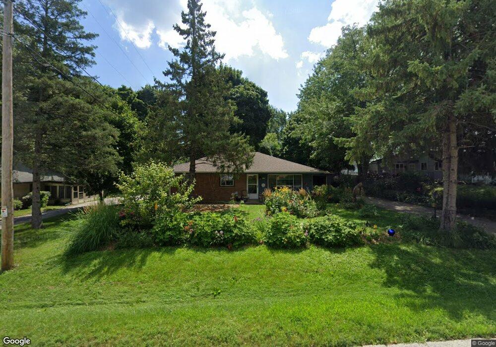
6269 W Tower Ave Milwaukee, WI 53223
Estimated Value: $225,436 - $264,000
--
Bed
--
Bath
--
Sq Ft
10,062
Sq Ft Lot
About This Home
This home is located at 6269 W Tower Ave, Milwaukee, WI 53223 and is currently estimated at $248,859. 6269 W Tower Ave is a home located in Milwaukee County with nearby schools including Brown Deer Elementary School, Brown Deer Middle/High School, and Institute of Technology and Academics.
Ownership History
Date
Name
Owned For
Owner Type
Purchase Details
Closed on
Sep 25, 2008
Sold by
Cato Debra J and Sogabe Nancy L
Bought by
Cato Debra J
Current Estimated Value
Home Financials for this Owner
Home Financials are based on the most recent Mortgage that was taken out on this home.
Original Mortgage
$61,300
Interest Rate
6.52%
Mortgage Type
Purchase Money Mortgage
Create a Home Valuation Report for This Property
The Home Valuation Report is an in-depth analysis detailing your home's value as well as a comparison with similar homes in the area
Home Values in the Area
Average Home Value in this Area
Purchase History
| Date | Buyer | Sale Price | Title Company |
|---|---|---|---|
| Cato Debra J | $61,300 | None Available |
Source: Public Records
Mortgage History
| Date | Status | Borrower | Loan Amount |
|---|---|---|---|
| Closed | Cato Debra J | $61,300 |
Source: Public Records
Tax History Compared to Growth
Tax History
| Year | Tax Paid | Tax Assessment Tax Assessment Total Assessment is a certain percentage of the fair market value that is determined by local assessors to be the total taxable value of land and additions on the property. | Land | Improvement |
|---|---|---|---|---|
| 2024 | $3,672 | $192,700 | $33,000 | $159,700 |
| 2023 | $3,672 | -- | -- | -- |
| 2022 | $3,672 | $172,200 | $33,000 | $139,200 |
| 2021 | $3,484 | $148,500 | $33,000 | $115,500 |
| 2020 | $3,375 | $132,200 | $33,000 | $99,200 |
| 2019 | $3,106 | $107,300 | $33,000 | $74,300 |
| 2018 | $3,608 | $107,300 | $33,000 | $74,300 |
| 2017 | $2,953 | $107,300 | $33,000 | $74,300 |
| 2016 | $3,024 | $107,300 | $33,000 | $74,300 |
| 2015 | $3,102 | $107,300 | $33,000 | $74,300 |
| 2014 | $3,457 | $119,500 | $42,500 | $77,000 |
| 2013 | $3,544 | $119,500 | $42,500 | $77,000 |
Source: Public Records
Map
Nearby Homes
- 8025 N 62nd St
- 6039 W Tower Ave
- 6206 W Fairlane Ave
- 7979 N 66th St
- 7871 N 60th St
- 7901 N 66th St
- 8254 N 55th St
- 8274 N 55th St
- 8067 N 54th St
- 6293 W Port Ave Unit E13
- 6254 W Port Ave Unit C18
- 7731 N 60th St Unit G
- 5400 W Dean Rd
- 7769 N Delta Place
- 8574 N 58th St
- 8267 N 52nd St
- 6081 W Calumet Rd
- 5665 W Range Ave
- 8680 N 63rd St
- 8684 N 62nd St
- 6249 W Tower Ave
- 8096 N Grandview Dr
- 6278 W Tower Ave
- 8084 N Grandview Dr
- 8103 N 62nd St
- 6250 W Tower Ave
- 8113 N 62nd St
- 6233 W Tower Ave
- 8074 N Grandview Dr
- 8093 N 62nd St
- 6242 W Tower Ave
- 8090 N 64th St
- 8125 N 62nd St
- 6228 W Tower Ave
- 8075 N Grandview Dr
- 8077 N 62nd St
- 8121 N Grandview Dr
- 8064 N Grandview Dr
- 6208 W Tower Ave
- 6425 W Arch Ave