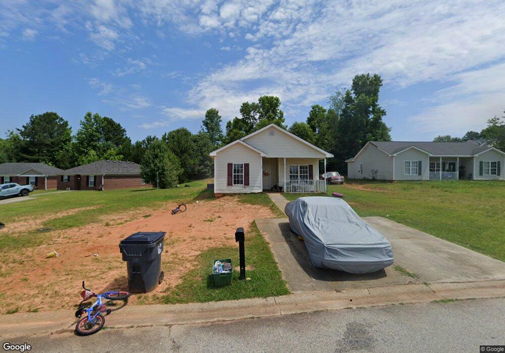
627 Dove Cove Social Circle, GA 30025
Estimated Value: $203,000 - $229,413
3
Beds
2
Baths
1,207
Sq Ft
$177/Sq Ft
Est. Value
About This Home
This home is located at 627 Dove Cove, Social Circle, GA 30025 and is currently estimated at $213,853, approximately $177 per square foot. 627 Dove Cove is a home located in Walton County with nearby schools including Social Circle Primary School, Social Circle Elementary School, and Social Circle Middle School.
Ownership History
Date
Name
Owned For
Owner Type
Purchase Details
Closed on
May 12, 2025
Sold by
Prosperous Way Llc
Bought by
Ha Prosperous Circle Llc
Current Estimated Value
Purchase Details
Closed on
Dec 31, 2021
Sold by
H A Harry Llc
Bought by
Prosperous Way Llc
Purchase Details
Closed on
Aug 5, 2014
Sold by
Bells John R
Bought by
Ha Harry Llc
Purchase Details
Closed on
Oct 20, 2003
Sold by
Rotomco Inc
Bought by
Bells John R
Home Financials for this Owner
Home Financials are based on the most recent Mortgage that was taken out on this home.
Original Mortgage
$80,761
Interest Rate
6.16%
Mortgage Type
FHA
Create a Home Valuation Report for This Property
The Home Valuation Report is an in-depth analysis detailing your home's value as well as a comparison with similar homes in the area
Home Values in the Area
Average Home Value in this Area
Purchase History
| Date | Buyer | Sale Price | Title Company |
|---|---|---|---|
| Ha Prosperous Circle Llc | -- | -- | |
| Prosperous Way Llc | -- | -- | |
| Prosperous Way Llc | -- | -- | |
| Ha Harry Llc | -- | -- | |
| Bells John R | $81,400 | -- |
Source: Public Records
Mortgage History
| Date | Status | Borrower | Loan Amount |
|---|---|---|---|
| Previous Owner | Bells John R | $80,761 |
Source: Public Records
Tax History Compared to Growth
Tax History
| Year | Tax Paid | Tax Assessment Tax Assessment Total Assessment is a certain percentage of the fair market value that is determined by local assessors to be the total taxable value of land and additions on the property. | Land | Improvement |
|---|---|---|---|---|
| 2024 | $2,289 | $64,360 | $4,917 | $59,443 |
| 2023 | $442 | $42,480 | $4,165 | $38,315 |
| 2022 | $442 | $42,480 | $4,165 | $38,315 |
| 2021 | $442 | $42,480 | $4,416 | $38,064 |
| 2020 | $217 | $20,320 | $4,000 | $16,320 |
| 2019 | $222 | $23,080 | $4,000 | $19,080 |
| 2018 | $222 | $23,080 | $4,000 | $19,080 |
| 2017 | $781 | $18,680 | $4,000 | $14,680 |
| 2016 | $210 | $18,520 | $4,000 | $14,520 |
| 2015 | $137 | $18,360 | $4,000 | $14,360 |
| 2014 | $142 | $15,920 | $4,000 | $11,920 |
Source: Public Records
Map
Nearby Homes
- 218 Orwell Dr Unit 100
- 218 Orwell Dr
- 204 Orwell Dr
- 232 Orwell Dr Unit 99
- 232 Orwell Dr
- 415 Dove Ln
- 278 Woodfin
- 339 Woodfin Way
- 345 Woodfin Way
- 246 Orwell Dr
- 217 Orwell Dr
- 231 Orwell Dr
- 178 Orwell Dr
- 245 Orwell Dr
- 257 Orwell Dr Unit 48
- 177 Orwell Dr
- 271 Orwell Dr
- 271 Orwell Dr Unit 49
- 133 Dove Landing
- 330 Orwell Dr
- 626 Dove Cove
- 623 Dove Cove
- 408 Dove Ln
- 622 Dove Cove
- 414 Dove Ln
- 400 Dove Ln
- 233 Dove Place
- 607 Dove Cove Unit 29
- 607 Dove Cove
- 618 Dove Cove
- 0 St Andrews Ct Ct Unit 7189656
- 0 St Andrews Ct Ct Unit 7094633
- 0 St Andrews Ct Ct Unit 10078369
- 0 St Andrews Ct Ct Unit 9069720
- 0 Lipscomb Rd - Track B Unit 6928644
- 0 Cox Cemetery Rd 9 Unit LOT 1
- 611 Dove Cove
- 610 Dove Cove
- 416 Dove Ln
- 00J Pannell Rd Unit LOT 3