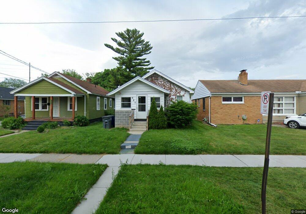
627 Evesham Ave Toledo, OH 43607
Scott Park NeighborhoodEstimated Value: $71,836 - $93,000
3
Beds
1
Bath
1,440
Sq Ft
$57/Sq Ft
Est. Value
About This Home
This home is located at 627 Evesham Ave, Toledo, OH 43607 and is currently estimated at $82,709, approximately $57 per square foot. 627 Evesham Ave is a home located in Lucas County with nearby schools including Jesup W. Scott High School, Explorers Academy, and Explorers Academy of Science and Technology.
Ownership History
Date
Name
Owned For
Owner Type
Purchase Details
Closed on
Jul 12, 2022
Sold by
Green Arthur E
Bought by
Ramsey Sherard J
Current Estimated Value
Purchase Details
Closed on
Apr 16, 2021
Sold by
Johnson Berneda and Wilson Betty J
Bought by
Ramsey Sherard J
Purchase Details
Closed on
Jun 2, 2017
Sold by
Early Nicholas
Bought by
Berdneda Early
Create a Home Valuation Report for This Property
The Home Valuation Report is an in-depth analysis detailing your home's value as well as a comparison with similar homes in the area
Home Values in the Area
Average Home Value in this Area
Purchase History
| Date | Buyer | Sale Price | Title Company |
|---|---|---|---|
| Ramsey Sherard J | $1,000 | Battle Pastor Arthur J | |
| Ramsey Sherard J | $8,500 | None Listed On Document | |
| Berdneda Early | -- | -- |
Source: Public Records
Tax History
| Year | Tax Paid | Tax Assessment Tax Assessment Total Assessment is a certain percentage of the fair market value that is determined by local assessors to be the total taxable value of land and additions on the property. | Land | Improvement |
|---|---|---|---|---|
| 2025 | $916 | $16,975 | $1,995 | $14,980 |
| 2024 | $947 | $16,975 | $1,995 | $14,980 |
| 2023 | $1,451 | $14,525 | $1,785 | $12,740 |
| 2022 | $906 | $14,525 | $1,785 | $12,740 |
| 2021 | $739 | $14,525 | $1,785 | $12,740 |
| 2020 | $371 | $11,935 | $1,435 | $10,500 |
| 2019 | $959 | $11,935 | $1,435 | $10,500 |
| 2018 | $636 | $11,935 | $1,435 | $10,500 |
| 2017 | $358 | $11,655 | $1,400 | $10,255 |
| 2016 | $344 | $33,300 | $4,000 | $29,300 |
| 2015 | $318 | $33,300 | $4,000 | $29,300 |
| 2014 | $275 | $11,660 | $1,400 | $10,260 |
| 2013 | $183 | $11,660 | $1,400 | $10,260 |
Source: Public Records
Map
Nearby Homes
- 605 Waverly Ave
- 616 Waverly Ave
- 824 N University Ave
- 811 N University Ave
- 913 Coventry Ave
- 1019 Woodstock Ave
- 933 Waverly Ave
- 630 Polonia Ct
- 1004 Waverly Ave
- 1211 Woodstock Ave
- 1215 Woodstock Ave
- 1118 Alldays Ave
- 2145 Dorr St
- 1675 Nebraska Ave
- 1206 Warwick Ave
- 514 Conrad Ave
- 1652 Nebraska Ave
- 1318 Addington Rd
- 2033 Crosswell Place
- 336 Conrad Ave
- 625 Evesham Ave
- 633 Evesham Ave
- 637 Evesham Ave
- 619 Evesham Ave
- 639 Evesham Ave
- 615 Evesham Ave
- 632 Parkside Blvd
- 643 Evesham Ave
- 609 Evesham Ave
- 634 Parkside Blvd
- 626 Parkside Blvd
- 628 Evesham Ave
- 645 Evesham Ave
- 626 Evesham Ave
- 638 Parkside Blvd
- 632 Evesham Ave
- 622 Evesham Ave
- 636 Evesham Ave
- 620 Evesham Ave
- 605 Evesham Ave
Your Personal Tour Guide
Ask me questions while you tour the home.