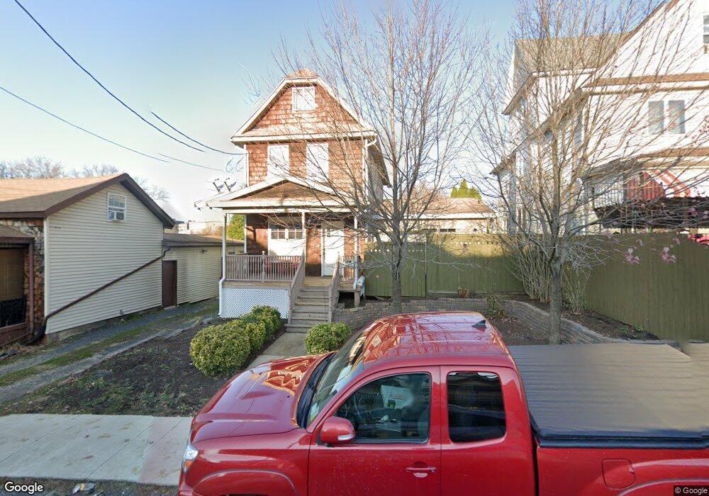
627 Moosic St Scranton, PA 18505
South Side NeighborhoodEstimated Value: $113,935 - $175,000
3
Beds
1
Bath
1,200
Sq Ft
$118/Sq Ft
Est. Value
About This Home
This home is located at 627 Moosic St, Scranton, PA 18505 and is currently estimated at $141,484, approximately $117 per square foot. 627 Moosic St is a home located in Lackawanna County with nearby schools including John G. Whittier Elementary School, South Scranton Intermediate, and Scranton High School.
Ownership History
Date
Name
Owned For
Owner Type
Purchase Details
Closed on
Sep 6, 2005
Sold by
Throp Deborah and Thorp Stewart E
Bought by
Thorp Stewart R
Current Estimated Value
Home Financials for this Owner
Home Financials are based on the most recent Mortgage that was taken out on this home.
Original Mortgage
$85,500
Outstanding Balance
$49,406
Interest Rate
7.15%
Mortgage Type
Adjustable Rate Mortgage/ARM
Estimated Equity
$92,078
Create a Home Valuation Report for This Property
The Home Valuation Report is an in-depth analysis detailing your home's value as well as a comparison with similar homes in the area
Home Values in the Area
Average Home Value in this Area
Purchase History
| Date | Buyer | Sale Price | Title Company |
|---|---|---|---|
| Thorp Stewart R | $95,000 | None Available |
Source: Public Records
Mortgage History
| Date | Status | Borrower | Loan Amount |
|---|---|---|---|
| Open | Thorp Stewart R | $85,500 |
Source: Public Records
Tax History
| Year | Tax Paid | Tax Assessment Tax Assessment Total Assessment is a certain percentage of the fair market value that is determined by local assessors to be the total taxable value of land and additions on the property. | Land | Improvement |
|---|---|---|---|---|
| 2025 | $1,902 | $5,600 | $1,400 | $4,200 |
| 2024 | $1,745 | $5,600 | $1,400 | $4,200 |
| 2023 | $1,745 | $5,600 | $1,400 | $4,200 |
| 2022 | $1,706 | $5,600 | $1,400 | $4,200 |
| 2021 | $1,706 | $5,600 | $1,400 | $4,200 |
| 2020 | $1,676 | $5,600 | $1,400 | $4,200 |
| 2019 | $1,579 | $5,600 | $1,400 | $4,200 |
| 2018 | $1,579 | $5,600 | $1,400 | $4,200 |
| 2017 | $1,553 | $5,600 | $1,400 | $4,200 |
| 2016 | $538 | $5,600 | $1,400 | $4,200 |
| 2015 | $855 | $5,600 | $1,400 | $4,200 |
| 2014 | -- | $5,600 | $1,400 | $4,200 |
Source: Public Records
Map
Nearby Homes
- 119 Prospect Ave Unit L5
- 102 S Irving Ave
- 636 Orchard St
- 201 Pittston Ave
- 321 Prospect Ave
- 409 Prospect Ave
- 522 524 River St
- 217 Crown Ave
- 417 S Irving Ave
- 910 Orchard St
- 432 Taylor Ave
- 342 Harrison Ave
- 518 Kirst Ct
- 501-503 Cedar Ave
- 439 Alder St
- 529 Taylor Ave
- 1513 1515 Vine St
- 509 Bogart Place
- 719 S Webster Ave
- 516 Harrison Ave
Your Personal Tour Guide
Ask me questions while you tour the home.