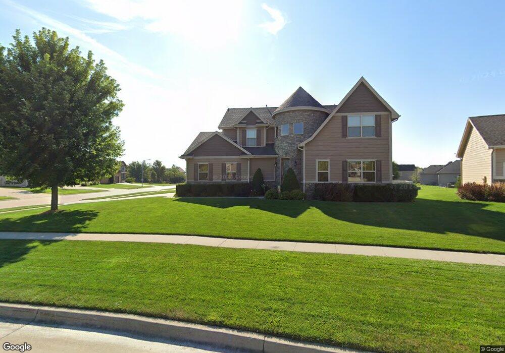
627 Reed Ct West Des Moines, IA 50266
Estimated Value: $547,782 - $571,000
5
Beds
5
Baths
2,329
Sq Ft
$242/Sq Ft
Est. Value
About This Home
This home is located at 627 Reed Ct, West Des Moines, IA 50266 and is currently estimated at $562,696, approximately $241 per square foot. 627 Reed Ct is a home located in Dallas County with nearby schools including Brookview Elementary School, South Middle School, and Prairieview Middle School.
Ownership History
Date
Name
Owned For
Owner Type
Purchase Details
Closed on
Aug 25, 2025
Sold by
Cheney Brent A and Cheney Tina M
Bought by
Brent A Cheney And Tina M Cheney 2025 Revocab
Current Estimated Value
Purchase Details
Closed on
Mar 6, 2012
Sold by
Mccoy Jacob and Mccoy Lisa M
Bought by
Cheney Brent A and Cheney Tina M
Home Financials for this Owner
Home Financials are based on the most recent Mortgage that was taken out on this home.
Original Mortgage
$60,000
Interest Rate
3.88%
Mortgage Type
Credit Line Revolving
Purchase Details
Closed on
May 4, 2011
Sold by
Bu Kimberly Development Corp
Bought by
Mccoy Jacob
Purchase Details
Closed on
Apr 22, 2011
Sold by
Co Dalls County Farms Co Inc
Bought by
Bu Kimberely Development Corp
Create a Home Valuation Report for This Property
The Home Valuation Report is an in-depth analysis detailing your home's value as well as a comparison with similar homes in the area
Home Values in the Area
Average Home Value in this Area
Purchase History
| Date | Buyer | Sale Price | Title Company |
|---|---|---|---|
| Brent A Cheney And Tina M Cheney 2025 Revocab | -- | None Listed On Document | |
| Cheney Brent A | $58,000 | None Available | |
| Mccoy Jacob | $60,000 | None Available | |
| Bu Kimberely Development Corp | $55,000 | None Available |
Source: Public Records
Mortgage History
| Date | Status | Borrower | Loan Amount |
|---|---|---|---|
| Previous Owner | Cheney Brent A | $60,000 |
Source: Public Records
Tax History Compared to Growth
Tax History
| Year | Tax Paid | Tax Assessment Tax Assessment Total Assessment is a certain percentage of the fair market value that is determined by local assessors to be the total taxable value of land and additions on the property. | Land | Improvement |
|---|---|---|---|---|
| 2024 | $7,922 | $484,600 | $85,000 | $399,600 |
| 2023 | $7,922 | $484,600 | $85,000 | $399,600 |
| 2022 | $7,932 | $431,980 | $85,000 | $346,980 |
| 2021 | $7,932 | $437,620 | $75,000 | $362,620 |
| 2020 | $7,788 | $416,310 | $75,000 | $341,310 |
| 2019 | $8,156 | $416,310 | $75,000 | $341,310 |
| 2018 | $8,156 | $415,480 | $75,000 | $340,480 |
| 2017 | $7,596 | $415,480 | $75,000 | $340,480 |
| 2016 | $7,412 | $377,980 | $70,000 | $307,980 |
| 2015 | $7,190 | $377,980 | $0 | $0 |
| 2014 | $7,190 | $377,980 | $0 | $0 |
Source: Public Records
Map
Nearby Homes
- 900 67th St Unit 805
- 681 63rd St
- 6800 Ashworth Rd Unit 306
- 950 67th St Unit 412
- 950 67th St Unit 321
- 6440 Ep True Pkwy Unit 3205
- 6440 Ep True Pkwy Unit 2205
- 6440 Ep True Pkwy Unit 1108
- 6980 Cody Dr Unit 43
- 6980 Cody Dr Unit 17
- 980 65th St
- 6204 Aspen Dr
- 6178 Aspen Dr
- 7126 Aspen Dr
- 989 65th St
- 7143 Dakota Dr
- 6255 Beechtree Dr Unit 5302
- 6255 Beechtree Dr Unit 4302
- 6255 Beechtree Dr Unit 4203
- 7153 Cody Dr