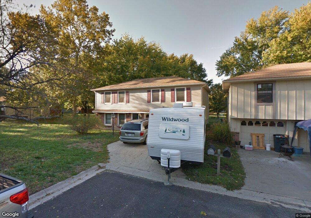
627 Trant St Kansas City, KS 66111
Estimated Value: $214,707 - $252,000
3
Beds
1
Bath
1,008
Sq Ft
$230/Sq Ft
Est. Value
About This Home
This home is located at 627 Trant St, Kansas City, KS 66111 and is currently estimated at $232,177, approximately $230 per square foot. 627 Trant St is a home located in Wyandotte County with nearby schools including Robert E Clark Middle School and Bonner Springs High School.
Ownership History
Date
Name
Owned For
Owner Type
Purchase Details
Closed on
Dec 11, 2002
Sold by
Smith Sharon L and Smith Walter
Bought by
Rhodes Clayton L and Rhodes Lucille R
Current Estimated Value
Home Financials for this Owner
Home Financials are based on the most recent Mortgage that was taken out on this home.
Original Mortgage
$79,200
Outstanding Balance
$33,555
Interest Rate
6.05%
Estimated Equity
$198,622
Create a Home Valuation Report for This Property
The Home Valuation Report is an in-depth analysis detailing your home's value as well as a comparison with similar homes in the area
Home Values in the Area
Average Home Value in this Area
Purchase History
| Date | Buyer | Sale Price | Title Company |
|---|---|---|---|
| Rhodes Clayton L | -- | Guarantee Title Of Wyandotte |
Source: Public Records
Mortgage History
| Date | Status | Borrower | Loan Amount |
|---|---|---|---|
| Open | Rhodes Clayton L | $79,200 |
Source: Public Records
Tax History Compared to Growth
Tax History
| Year | Tax Paid | Tax Assessment Tax Assessment Total Assessment is a certain percentage of the fair market value that is determined by local assessors to be the total taxable value of land and additions on the property. | Land | Improvement |
|---|---|---|---|---|
| 2024 | $3,148 | $21,194 | $4,089 | $17,105 |
| 2023 | $3,069 | $19,205 | $3,314 | $15,891 |
| 2022 | $2,767 | $17,205 | $3,071 | $14,134 |
| 2021 | $2,494 | $14,613 | $2,843 | $11,770 |
| 2020 | $2,371 | $13,531 | $2,719 | $10,812 |
| 2019 | $2,342 | $13,070 | $2,719 | $10,351 |
| 2018 | $2,313 | $13,048 | $2,316 | $10,732 |
| 2017 | $2,244 | $12,546 | $2,316 | $10,230 |
| 2016 | $2,380 | $13,205 | $2,316 | $10,889 |
| 2015 | $2,382 | $13,205 | $2,316 | $10,889 |
| 2014 | $2,067 | $12,947 | $2,316 | $10,631 |
Source: Public Records
Map
Nearby Homes
- 738 S 9th St
- 507 Newton St
- 240 White St Unit LOT 240
- 603 Newton St
- 507 High St
- 781 Highland Dr
- 824 Highland Dr
- 828 Highland Dr
- 789 Highland Dr
- 800 Highland Dr
- 20823 W 45th Terrace
- 4531 Woodstock St
- 10506 Shelton Ave
- 1803 S 98th St
- 1630 S 105th Terrace
- 1548 S 105th Ct
- 98th Metropolitan Ave
- 9687 Metropolitan Ave
- 21222 W 48th St
- 4817 Marion St