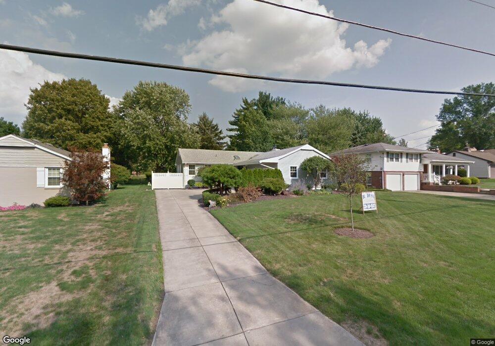
6271 Diana Dr Youngstown, OH 44514
Estimated Value: $227,000 - $253,000
3
Beds
2
Baths
1,356
Sq Ft
$178/Sq Ft
Est. Value
About This Home
This home is located at 6271 Diana Dr, Youngstown, OH 44514 and is currently estimated at $241,357, approximately $177 per square foot. 6271 Diana Dr is a home located in Mahoning County with nearby schools including Poland Union Elementary School, Poland Middle School, and Poland Seminary High School.
Ownership History
Date
Name
Owned For
Owner Type
Purchase Details
Closed on
Oct 30, 2019
Sold by
Slosser Deborah Jo and Kubina Joseph W
Bought by
Slosser Deborah Jo and Kubina Joseph W
Current Estimated Value
Purchase Details
Closed on
Jan 19, 2008
Sold by
Hjelm Elizabeth R and Hjelm John
Bought by
Slosser Deborah J
Home Financials for this Owner
Home Financials are based on the most recent Mortgage that was taken out on this home.
Original Mortgage
$80,750
Outstanding Balance
$50,998
Interest Rate
6.17%
Mortgage Type
Purchase Money Mortgage
Estimated Equity
$190,359
Purchase Details
Closed on
Sep 21, 2000
Sold by
William Anderson
Bought by
Anderson J William and Anderson Edith S
Purchase Details
Closed on
Feb 21, 1992
Bought by
Anderson William and Anderson E
Create a Home Valuation Report for This Property
The Home Valuation Report is an in-depth analysis detailing your home's value as well as a comparison with similar homes in the area
Home Values in the Area
Average Home Value in this Area
Purchase History
| Date | Buyer | Sale Price | Title Company |
|---|---|---|---|
| Slosser Deborah Jo | -- | None Available | |
| Slosser Deborah J | $95,000 | Attorney | |
| Slosser Deborah J | -- | Attorney | |
| Anderson J William | -- | -- | |
| Anderson William | $90,000 | -- |
Source: Public Records
Mortgage History
| Date | Status | Borrower | Loan Amount |
|---|---|---|---|
| Open | Slosser Deborah J | $80,750 | |
| Closed | Slosser Deborah J | $80,750 |
Source: Public Records
Tax History Compared to Growth
Tax History
| Year | Tax Paid | Tax Assessment Tax Assessment Total Assessment is a certain percentage of the fair market value that is determined by local assessors to be the total taxable value of land and additions on the property. | Land | Improvement |
|---|---|---|---|---|
| 2024 | $2,818 | $67,170 | $10,070 | $57,100 |
| 2023 | $3,222 | $67,170 | $10,070 | $57,100 |
| 2022 | $2,567 | $44,710 | $10,070 | $34,640 |
| 2021 | $2,449 | $44,710 | $10,070 | $34,640 |
| 2020 | $2,460 | $44,710 | $10,070 | $34,640 |
| 2019 | $2,037 | $34,520 | $10,070 | $24,450 |
| 2018 | $1,909 | $34,520 | $10,070 | $24,450 |
| 2017 | $1,906 | $34,520 | $10,070 | $24,450 |
| 2016 | $2,077 | $35,750 | $10,070 | $25,680 |
| 2015 | $2,032 | $35,750 | $10,070 | $25,680 |
| 2014 | $2,040 | $35,750 | $10,070 | $25,680 |
| 2013 | $2,014 | $35,750 | $10,070 | $25,680 |
Source: Public Records
Map
Nearby Homes
- 6074 Frontier Dr
- 2721 Algonquin Dr
- 2667 Center Rd
- 2831 Center Rd
- 2856 Heatherbrae Dr
- 2959 Algonquin Dr
- 2985 Algonquin Dr
- 154 Rocky Ledge Dr
- 2379 Clyde St
- 2959 Holyoke Dr
- 6137 Acatello Place
- 3151 Heatherbrae Dr
- 5838 Poland Struthers Rd
- 0 Clingan Rd Unit 4461196
- 2295 Bel Aire Ln
- 20 Nesbitt St
- 52 Greystone
- 6666 Clingan Rd
- 2307 Hamilton Ave
- 25 Lakeshore Dr