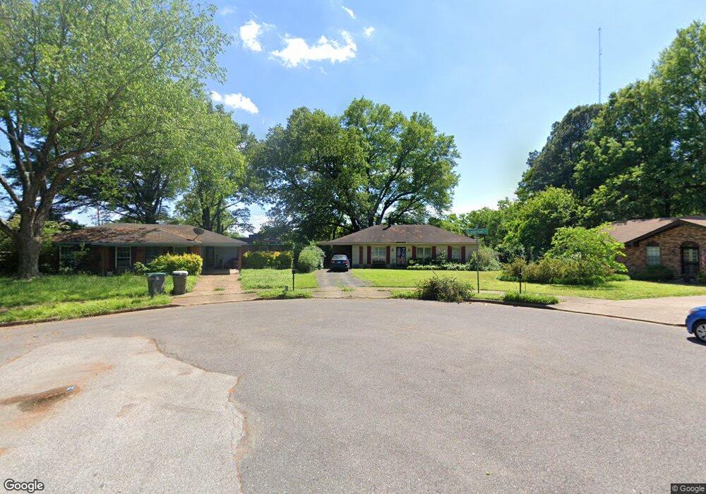
6277 Branderham Dr Memphis, TN 38134
Cordova NeighborhoodEstimated Value: $128,000 - $192,000
3
Beds
2
Baths
1,290
Sq Ft
$126/Sq Ft
Est. Value
About This Home
This home is located at 6277 Branderham Dr, Memphis, TN 38134 and is currently estimated at $162,585, approximately $126 per square foot. 6277 Branderham Dr is a home located in Shelby County with nearby schools including White Station Elementary School, White Station Middle, and White Station High.
Ownership History
Date
Name
Owned For
Owner Type
Purchase Details
Closed on
Jun 29, 2001
Sold by
Deatherage David W and Deatherage Sharon P
Bought by
Renfroe Edward C and Renfroe Suzanne H
Current Estimated Value
Home Financials for this Owner
Home Financials are based on the most recent Mortgage that was taken out on this home.
Original Mortgage
$68,800
Outstanding Balance
$25,956
Interest Rate
7.17%
Estimated Equity
$136,629
Create a Home Valuation Report for This Property
The Home Valuation Report is an in-depth analysis detailing your home's value as well as a comparison with similar homes in the area
Home Values in the Area
Average Home Value in this Area
Purchase History
| Date | Buyer | Sale Price | Title Company |
|---|---|---|---|
| Renfroe Edward C | $86,000 | -- | |
| Renfroe Edward C | $86,000 | -- |
Source: Public Records
Mortgage History
| Date | Status | Borrower | Loan Amount |
|---|---|---|---|
| Open | Renfroe Edward C | $68,800 | |
| Closed | Renfroe Edward C | $68,800 |
Source: Public Records
Tax History
| Year | Tax Paid | Tax Assessment Tax Assessment Total Assessment is a certain percentage of the fair market value that is determined by local assessors to be the total taxable value of land and additions on the property. | Land | Improvement |
|---|---|---|---|---|
| 2025 | $922 | $36,550 | $5,750 | $30,800 |
| 2024 | $922 | $27,200 | $4,250 | $22,950 |
| 2023 | $1,657 | $27,200 | $4,250 | $22,950 |
| 2022 | $1,657 | $27,200 | $4,250 | $22,950 |
| 2021 | $1,676 | $27,200 | $4,250 | $22,950 |
| 2020 | $1,321 | $18,225 | $4,250 | $13,975 |
| 2019 | $1,321 | $18,225 | $4,250 | $13,975 |
| 2018 | $1,321 | $18,225 | $4,250 | $13,975 |
| 2017 | $749 | $18,225 | $4,250 | $13,975 |
| 2016 | $757 | $17,325 | $0 | $0 |
| 2014 | $757 | $17,325 | $0 | $0 |
Source: Public Records
Map
Nearby Homes
- 1257 Heathcliff Dr
- 1281 Heathcliff Dr
- 0 Mullins Station Rd
- 6307 Cheekwood Ave
- 1424 Mullins Station Rd
- 1456 Kinilwood St
- 6550 Citadel Cove
- 6254 Brightwood Dr
- 0 Harpeth Dr
- 6727 Bent Tree Ave
- 1239 Whitten Rd
- 1066 Whitten Rd
- 1205 Lemasa Dr
- 6851 Seaside Dr
- 6833 Showboat Ln
- 6880 Wrigley Dr
- 6893 Century Oaks Dr
- 6884 Wrigley Dr
- 6830 Lagrange Cir N
- 6907 Manslick Rd
- 1177 Heathcliff Dr
- 6281 Branderham Dr
- 6261 Garden Cove
- 6257 Garden Cove
- 1183 Heathcliff Dr
- 6291 Branderham Dr
- 6262 Garden Cove
- 6288 Branderham Dr
- 1191 Heathcliff Dr
- 6297 Branderham Dr
- 6258 Garden Cove
- 6251 Garden Cove
- 1192 Heathcliff Dr
- 6303 Branderham Dr
- 6300 Branderham Dr
- 6275 Thrushcross Dr
- 6252 Garden Cove
- 6267 Thrushcross Dr
- 6243 Garden Cove
- 6259 Thrushcross Dr
Your Personal Tour Guide
Ask me questions while you tour the home.