6278 Mitchell Ave NW Annandale, MN 55302
Estimated Value: $423,000 - $478,000
3
Beds
3
Baths
2,150
Sq Ft
$208/Sq Ft
Est. Value
About This Home
This home is located at 6278 Mitchell Ave NW, Annandale, MN 55302 and is currently estimated at $446,561, approximately $207 per square foot. 6278 Mitchell Ave NW is a home located in Wright County with nearby schools including Annandale Elementary School, Annandale Middle School, and Annandale Senior High School.
Ownership History
Date
Name
Owned For
Owner Type
Purchase Details
Closed on
Apr 26, 2018
Sold by
Wilson Mary A
Bought by
Erickson Daniel N and Erickson Katherine M
Current Estimated Value
Purchase Details
Closed on
Apr 25, 2018
Sold by
Wilson Mary A
Bought by
Wilson Mary A
Purchase Details
Closed on
Feb 24, 2005
Sold by
Federal Home Loan Mortgage Corporation
Bought by
Wilson Charles D
Purchase Details
Closed on
Sep 30, 2002
Sold by
Losh Dennis W and Losh Jane D
Bought by
Schmole John M
Purchase Details
Closed on
Feb 27, 2002
Sold by
Calay National Bank
Bought by
Schmatz John M and Schmatz Linda A
Purchase Details
Closed on
Feb 14, 2002
Sold by
Schmatz John M
Bought by
Last Dennis
Purchase Details
Closed on
Apr 5, 2000
Sold by
Jarrett Grant A and Jarrett Karen K
Bought by
Schmatz John N and Schmatz Linda A
Create a Home Valuation Report for This Property
The Home Valuation Report is an in-depth analysis detailing your home's value as well as a comparison with similar homes in the area
Home Values in the Area
Average Home Value in this Area
Purchase History
| Date | Buyer | Sale Price | Title Company |
|---|---|---|---|
| Erickson Daniel N | -- | None Available | |
| Wilson Mary A | -- | None Available | |
| Wilson Charles D | $163,000 | -- | |
| Schmole John M | $180,000 | -- | |
| Schmatz John M | $154,339 | -- | |
| Last Dennis | $180,000 | -- | |
| Schmatz John N | $150,000 | -- |
Source: Public Records
Tax History Compared to Growth
Tax History
| Year | Tax Paid | Tax Assessment Tax Assessment Total Assessment is a certain percentage of the fair market value that is determined by local assessors to be the total taxable value of land and additions on the property. | Land | Improvement |
|---|---|---|---|---|
| 2025 | $2,718 | $349,400 | $142,200 | $207,200 |
| 2024 | $2,490 | $366,100 | $151,200 | $214,900 |
| 2023 | $1,630 | $348,600 | $133,200 | $215,400 |
| 2022 | $1,462 | $206,500 | $88,300 | $118,200 |
| 2021 | $1,532 | $170,400 | $74,300 | $96,100 |
| 2020 | $1,548 | $169,500 | $74,300 | $95,200 |
| 2019 | $1,442 | $166,100 | $0 | $0 |
| 2018 | $1,340 | $131,800 | $0 | $0 |
| 2017 | $1,500 | $148,500 | $0 | $0 |
| 2016 | $1,496 | $0 | $0 | $0 |
| 2015 | $1,480 | $0 | $0 | $0 |
| 2014 | -- | $0 | $0 | $0 |
Source: Public Records
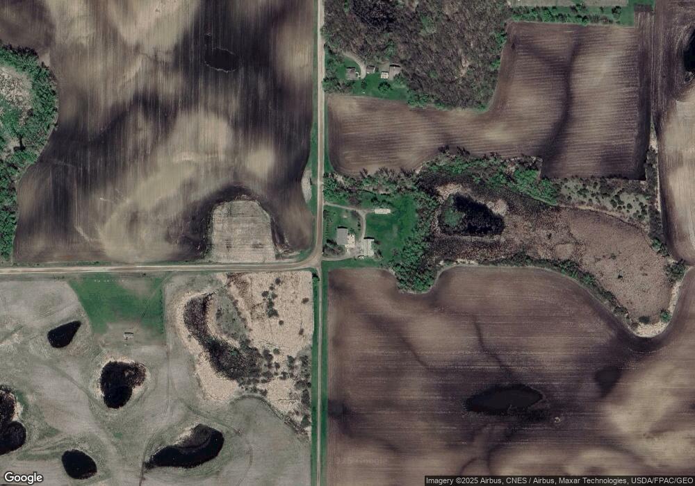
Map
Nearby Homes
- 945 Acacia Cir S
- 844 Beech Ln S
- 520 Douglas Dr S
- 451 Valley Dr W
- 750 Morrison Ave S
- 431 Valley Dr W
- 510 Douglas Dr S
- 681 Irwin Cir
- 511 Douglas Dr S
- 440 Valley Dr W
- 800 Morrison Ave NW
- Olson Plan at Triplett Farms
- Lincoln Plan at Triplett Farms
- Goodhue Plan at Triplett Farms
- Henderson Plan at Triplett Farms
- Hancock Plan at Triplett Farms
- Floyd Plan at Triplett Farms
- Hennepin II Plan at Triplett Farms
- Madden Plan at Triplett Farms
- Rachel Plan at Triplett Farms
- 6400 Mitchell Ave NW
- XXX Mitchell Ave NW
- 6486 Mitchell Ave NW
- XXX 62nd St NW
- xx 62nd St
- XXX58 62nd St
- 12001 62nd St NW
- 12290 62nd St NW
- 12318 62nd St NW
- 6047 County Road 5 NW
- 6503 County Road 5 NW
- 6346 County Road 5 NW
- 12466 62nd St NW
- 6517 County Road 5 NW
- 11691 67th St NW
- 6553 County Road 5 NW
- 933 Acacia Cir S
- 6571 County Road 5 NW
- 931 Acacia Cir S
- 935 Acacia Cir S