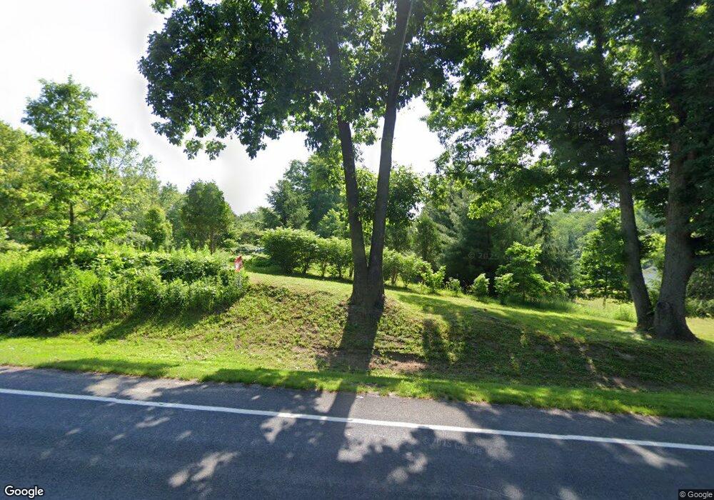
6278 N 12th St Kalamazoo, MI 49009
Estimated Value: $291,132 - $370,000
--
Bed
1
Bath
1,619
Sq Ft
$205/Sq Ft
Est. Value
About This Home
This home is located at 6278 N 12th St, Kalamazoo, MI 49009 and is currently estimated at $332,533, approximately $205 per square foot. 6278 N 12th St is a home located in Kalamazoo County with nearby schools including Otsego High School and Kalamazoo Seventh-day Adventist Junior Academy.
Ownership History
Date
Name
Owned For
Owner Type
Purchase Details
Closed on
Jan 24, 2003
Sold by
Ruzza John S and Ruzza Cheri L
Bought by
Ruzza John S and Ruzza Cheri L
Current Estimated Value
Purchase Details
Closed on
Nov 18, 2002
Sold by
Ruzza John S and Ruzza Cheri L
Bought by
Ruzza John S and Ruzza Cheri L
Home Financials for this Owner
Home Financials are based on the most recent Mortgage that was taken out on this home.
Original Mortgage
$52,000
Interest Rate
6.08%
Mortgage Type
Purchase Money Mortgage
Create a Home Valuation Report for This Property
The Home Valuation Report is an in-depth analysis detailing your home's value as well as a comparison with similar homes in the area
Home Values in the Area
Average Home Value in this Area
Purchase History
| Date | Buyer | Sale Price | Title Company |
|---|---|---|---|
| Ruzza John S | -- | -- | |
| Ruzza John S | -- | Trans |
Source: Public Records
Mortgage History
| Date | Status | Borrower | Loan Amount |
|---|---|---|---|
| Previous Owner | Ruzza John S | $52,000 |
Source: Public Records
Tax History Compared to Growth
Tax History
| Year | Tax Paid | Tax Assessment Tax Assessment Total Assessment is a certain percentage of the fair market value that is determined by local assessors to be the total taxable value of land and additions on the property. | Land | Improvement |
|---|---|---|---|---|
| 2025 | $2,976 | $138,900 | $0 | $0 |
| 2024 | $1,011 | $145,850 | $0 | $0 |
| 2023 | $964 | $127,100 | $0 | $0 |
| 2022 | $2,707 | $130,950 | $0 | $0 |
| 2021 | $2,630 | $116,700 | $0 | $0 |
| 2020 | $2,541 | $110,150 | $0 | $0 |
| 2019 | $2,438 | $103,300 | $0 | $0 |
| 2018 | $0 | $108,854 | $0 | $0 |
| 2017 | $0 | $90,694 | $0 | $0 |
| 2016 | -- | $75,913 | $0 | $0 |
| 2015 | -- | $76,025 | $0 | $0 |
| 2014 | -- | $76,223 | $0 | $0 |
Source: Public Records
Map
Nearby Homes
- 7076 Turkey Glen Trail
- 7160 N 12th St
- 4022 Rockwood Dr
- 3706 Northview Dr
- 0 W D Ave W Unit VL 24060554
- 3302 Northview Dr
- 3426 Meadowcroft Ave
- 8060 Hunters Crossing
- 3521 Meadowcroft Ave
- 3007 Hickory Nut Ln
- 2673 Arrowwood Ln
- 4770 Weston Ave
- 4650 Yellow Pine Ln
- 2932 Meadowcroft Ln
- 6528 Douglas Ave
- 4763 Weston Ave
- 4637 Weston Ave
- 4931 Weston Ave
- 4643 Weston Ave
- 3536 Westhaven Trail Unit site 42
