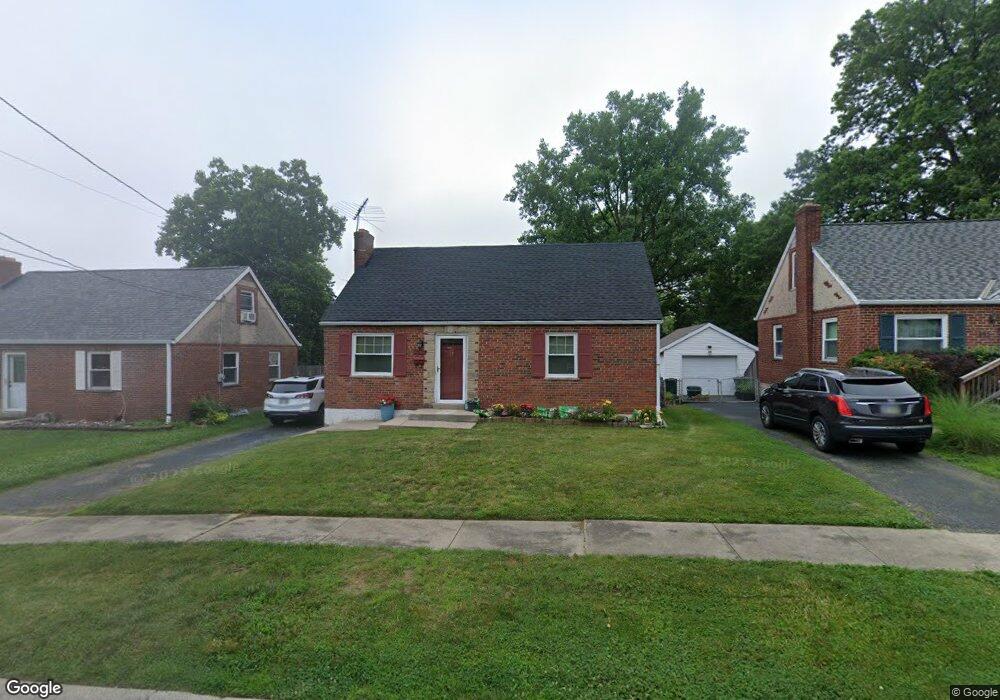
628 Dottie Ct Cincinnati, OH 45215
Estimated Value: $210,746 - $258,000
4
Beds
2
Baths
1,485
Sq Ft
$163/Sq Ft
Est. Value
About This Home
This home is located at 628 Dottie Ct, Cincinnati, OH 45215 and is currently estimated at $241,437, approximately $162 per square foot. 628 Dottie Ct is a home located in Hamilton County with nearby schools including Reading Community High School, Saints Peter and Paul Academy, and Mount Notre Dame High School.
Create a Home Valuation Report for This Property
The Home Valuation Report is an in-depth analysis detailing your home's value as well as a comparison with similar homes in the area
Home Values in the Area
Average Home Value in this Area
Tax History
| Year | Tax Paid | Tax Assessment Tax Assessment Total Assessment is a certain percentage of the fair market value that is determined by local assessors to be the total taxable value of land and additions on the property. | Land | Improvement |
|---|---|---|---|---|
| 2025 | $2,501 | $57,310 | $11,988 | $45,322 |
| 2023 | $3,092 | $57,310 | $11,988 | $45,322 |
| 2022 | $2,757 | $40,597 | $10,392 | $30,205 |
| 2021 | $2,305 | $40,597 | $10,392 | $30,205 |
| 2020 | $2,327 | $40,597 | $10,392 | $30,205 |
| 2019 | $2,255 | $35,925 | $9,195 | $26,730 |
| 2018 | $2,258 | $35,925 | $9,195 | $26,730 |
| 2017 | $2,130 | $35,925 | $9,195 | $26,730 |
| 2016 | $2,143 | $36,246 | $9,009 | $27,237 |
| 2015 | $2,160 | $36,246 | $9,009 | $27,237 |
| 2014 | $1,890 | $36,246 | $9,009 | $27,237 |
| 2013 | $1,916 | $36,989 | $9,195 | $27,794 |
Source: Public Records
Map
Nearby Homes
- 2113 Bolser Dr
- 0 Hill St Unit 1616370
- 310 E Vine St
- 2127 Longmeadow Ln
- 654 3rd St
- 234 Mcguire Ln
- 1320 Thurnridge Dr
- 1904 Hunt Rd
- 2465 E Galbraith Rd
- 1128 Oldwick Dr
- 1521 Hunt Rd
- 1283 Alwil Dr
- 1357 Thurnridge Dr
- 103 W Crest Dr
- 129 Pike St
- 109 Calico Ct
- 2258 Hunt Rd
- 68 Gorman Ln
- 2281 E Galbraith Rd
- 311 Southern Ave
Your Personal Tour Guide
Ask me questions while you tour the home.