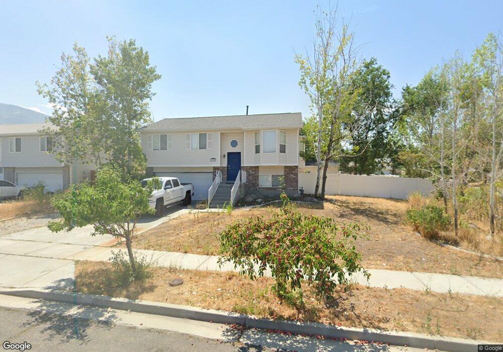
628 E 700 N Tooele, UT 84074
Estimated Value: $380,000 - $405,000
4
Beds
1
Bath
1,600
Sq Ft
$243/Sq Ft
Est. Value
About This Home
This home is located at 628 E 700 N, Tooele, UT 84074 and is currently estimated at $389,003, approximately $243 per square foot. 628 E 700 N is a home located in Tooele County with nearby schools including Sterling Elementary School, Tooele Junior High School, and Tooele High School.
Ownership History
Date
Name
Owned For
Owner Type
Purchase Details
Closed on
Aug 16, 2022
Sold by
Allen Edwards Brian
Bought by
Edwards Brian Allen
Current Estimated Value
Home Financials for this Owner
Home Financials are based on the most recent Mortgage that was taken out on this home.
Original Mortgage
$22,239
Outstanding Balance
$21,212
Interest Rate
5.22%
Estimated Equity
$367,791
Create a Home Valuation Report for This Property
The Home Valuation Report is an in-depth analysis detailing your home's value as well as a comparison with similar homes in the area
Purchase History
| Date | Buyer | Sale Price | Title Company |
|---|---|---|---|
| Edwards Brian Allen | -- | Pioneer Title | |
| Edwards Brian Allen | -- | Metro National Title |
Source: Public Records
Mortgage History
| Date | Status | Borrower | Loan Amount |
|---|---|---|---|
| Open | Edwards Brian Allen | $22,239 | |
| Open | Edwards Brian Allen | $370,662 |
Source: Public Records
Tax History
| Year | Tax Paid | Tax Assessment Tax Assessment Total Assessment is a certain percentage of the fair market value that is determined by local assessors to be the total taxable value of land and additions on the property. | Land | Improvement |
|---|---|---|---|---|
| 2025 | $2,358 | $357,595 | $100,000 | $257,595 |
| 2024 | $2,511 | $191,697 | $55,000 | $136,697 |
| 2023 | $2,511 | $195,017 | $52,383 | $142,634 |
| 2022 | $2,538 | $218,343 | $51,906 | $166,437 |
| 2021 | $2,068 | $148,791 | $20,763 | $128,028 |
| 2020 | $1,982 | $247,461 | $37,750 | $209,711 |
| 2019 | $1,860 | $228,396 | $37,750 | $190,646 |
| 2018 | $1,623 | $188,942 | $40,000 | $148,942 |
| 2017 | $1,192 | $164,656 | $31,250 | $133,406 |
| 2016 | $989 | $80,990 | $17,188 | $63,802 |
| 2015 | $989 | $71,917 | $0 | $0 |
| 2014 | -- | $71,917 | $0 | $0 |
Source: Public Records
Map
Nearby Homes
- 743 N 690 E
- 618 E 670 N
- 677 Kings Landing
- 518 E 740 N
- 437 E 740 N
- 936 N 580 E
- 792 E 540 N
- 516 N Broadway Ave
- 647 E 980 N
- 208 E 850 N Unit A
- 224 E 850 N St Unit A
- 224 E 850 N Unit D
- 208 E 850 N Unit C
- 238 E 850 St N Unit D
- 1266 E 850 N
- 804 N 310 E
- 993 White Pine Dr
- 332 E 880 N
- 847 Uintah Ave
- 477 E 400 N
Your Personal Tour Guide
Ask me questions while you tour the home.