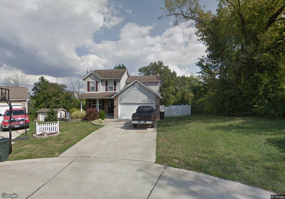
628 Locust St Festus, MO 63028
Festus/Crystal City NeighborhoodEstimated Value: $242,000 - $281,000
--
Bed
--
Bath
904
Sq Ft
$291/Sq Ft
Est. Value
About This Home
This home is located at 628 Locust St, Festus, MO 63028 and is currently estimated at $262,744, approximately $290 per square foot. 628 Locust St is a home located in Jefferson County with nearby schools including Festus Elementary School, Festus Intermediate School, and Festus Middle School.
Ownership History
Date
Name
Owned For
Owner Type
Purchase Details
Closed on
Jun 24, 2005
Sold by
Weyand Matthew R and Weyand Brooke M
Bought by
Weyand Matthew R and Weyand Brooke M
Current Estimated Value
Purchase Details
Closed on
May 21, 2004
Sold by
Hammon Brian K
Bought by
Weyand Matthew R and Mcginnis Brooke M
Home Financials for this Owner
Home Financials are based on the most recent Mortgage that was taken out on this home.
Original Mortgage
$127,991
Outstanding Balance
$61,819
Interest Rate
5.93%
Mortgage Type
FHA
Estimated Equity
$200,925
Purchase Details
Closed on
Nov 24, 1999
Sold by
J & T Homes Inc
Bought by
Hammon Brian K
Home Financials for this Owner
Home Financials are based on the most recent Mortgage that was taken out on this home.
Original Mortgage
$100,000
Interest Rate
7.93%
Create a Home Valuation Report for This Property
The Home Valuation Report is an in-depth analysis detailing your home's value as well as a comparison with similar homes in the area
Home Values in the Area
Average Home Value in this Area
Purchase History
| Date | Buyer | Sale Price | Title Company |
|---|---|---|---|
| Weyand Matthew R | -- | -- | |
| Weyand Matthew R | -- | Capital Title | |
| Hammon Brian K | -- | -- |
Source: Public Records
Mortgage History
| Date | Status | Borrower | Loan Amount |
|---|---|---|---|
| Open | Weyand Matthew R | $127,991 | |
| Previous Owner | Hammon Brian K | $100,000 |
Source: Public Records
Tax History Compared to Growth
Tax History
| Year | Tax Paid | Tax Assessment Tax Assessment Total Assessment is a certain percentage of the fair market value that is determined by local assessors to be the total taxable value of land and additions on the property. | Land | Improvement |
|---|---|---|---|---|
| 2025 | $1,704 | $33,200 | $1,800 | $31,400 |
| 2024 | $1,704 | $30,100 | $1,800 | $28,300 |
| 2023 | $1,704 | $30,100 | $1,800 | $28,300 |
| 2022 | $1,695 | $30,100 | $1,800 | $28,300 |
| 2021 | $1,697 | $30,100 | $1,800 | $28,300 |
| 2020 | $1,581 | $26,300 | $1,400 | $24,900 |
| 2019 | $1,580 | $26,300 | $1,400 | $24,900 |
| 2018 | $1,425 | $26,300 | $1,400 | $24,900 |
| 2017 | $1,425 | $26,300 | $1,400 | $24,900 |
| 2016 | $1,340 | $24,600 | $1,500 | $23,100 |
| 2015 | $1,332 | $24,600 | $1,500 | $23,100 |
| 2013 | -- | $24,100 | $1,500 | $22,600 |
Source: Public Records
Map
Nearby Homes
- 420 Palmer St
- 601 S 5th St
- 524 Jennifer Ct
- 506 S 4th St
- 802 Locust St
- 308 S 5th St
- 906 Parkview Dr
- 418 N 3rd St
- 21 Flora Dr
- 117 Main St
- 814 N 5th St
- 000 U S Highway 67
- 0 Tbb Birchwood Overlook -Pin Oa Unit MAR24022705
- 134 Gray St
- 813 American Legion Dr
- 111 Gray St
- 624 Westwood South Dr Unit A
- 725 Woodrow Ave
- 516 Moore St
- 704 Warne St